- Langley, British Columbia (city)
-
City of Langley One-way section of Fraser Highway through Langley

FlagMotto: "Strength of Purpose, Spirit of Community" Location of Langley in British Columbia
Coordinates: 49°06′14″N 122°39′24″W / 49.10389°N 122.65667°W Country  Canada
Province  British Columbia
Region Lower Mainland Regional district Metro Vancouver Incorporated March 15, 1955 Government - Governing body Langley City Council - Mayor Peter Fassbender - Councillors Jack Arnold
Dave Hall
Teri James
Gayle Martin
Rudy Storteboom
Rosemary Wallace- MP Mark Warawa (Cons.) - MLA Mary Polak (Lib.) Area - Total 10.22 km2 (3.9 sq mi) Elevation 15 m (49 ft) Population (2006) - Total 23,831 - Density 2,309/km2 (5,980.3/sq mi) Time zone PST (UTC-8) Website City of Langley The City of Langley is a municipality in Metro Vancouver. It lies directly east of the City of Surrey, adjacent to Cloverdale, and surrounded on the north, east and south by Township of Langley.
Contents
History
Early European settlement in the area was known as "Innes Corners" (after homesteader Adam Innes); in 1911, the area became known as "Langley Prairie", part of the Township of Langley a.k.a. Langley Township since 1873. Owing to its more urban development and related needs (such as street lights), the City of Langley decided to separate and incorporate as a separate municipality on March 15, 1955.[1]
Sports
A local Little League baseball team represented Canada in the 2011 Little League World Series in Williamsport, PA.
Brett Lawrie, third baseman for the Toronto Blue Jays is from Langley.
Education
The City of Langley is home to six Elementary schools and one Middle schools H. D. Stafford Middle School. Three major high schools are located in the surrounding area; Brookswood Secondary School, Langley Secondary School,and R. E. Mountain Secondary School. It also has Kwantlen Polytechnic University.
Transportation
The City of Langley is served by The South Coast British Columbia Transportation Authority (Also known as Translink). Translink operates the regional transportation network and is also the regional transportation authority. Langley is served by 7 Regular bus routes, and 5 "Community Shuttle" routes operating smaller capacity mini buses. The Fraser highway is one of the major east-west corridors servicing the City of Langley and the Township of Langley. The 502 bus route operates on a 15 minute headway (7–10 minutes during rush hour) from the Surrey Central Station in north Surrey to the Langley Centre bus loop in the City of Langley via Fraser Highway, with every 2nd departure continuing through the Township of Langley to Aldergrove. The other major routes include the 320 Surrey Central Station (via Cloverdale), 341 Guildford (via Cloverdale, & Newton), the 364 Scottsdale (via 64th avenue), the 501/590 Surrey Central Station (via 200th, Walnut Grove, during morning rush hour the route originates in Brookswood as the 590, and runs express past Guildford Exchange. In the PM rush hour, there is a bus every 15 minutes from Surrey Central, where every other bus is a 590 to langley south, and the alternate is a 501 going only as far as Walnut Grove.), and then there's the 595 to Maple Ridge, the bus runs express limited stop service along 200th street, and across the Golden Ears Bridge.
Arts and culture
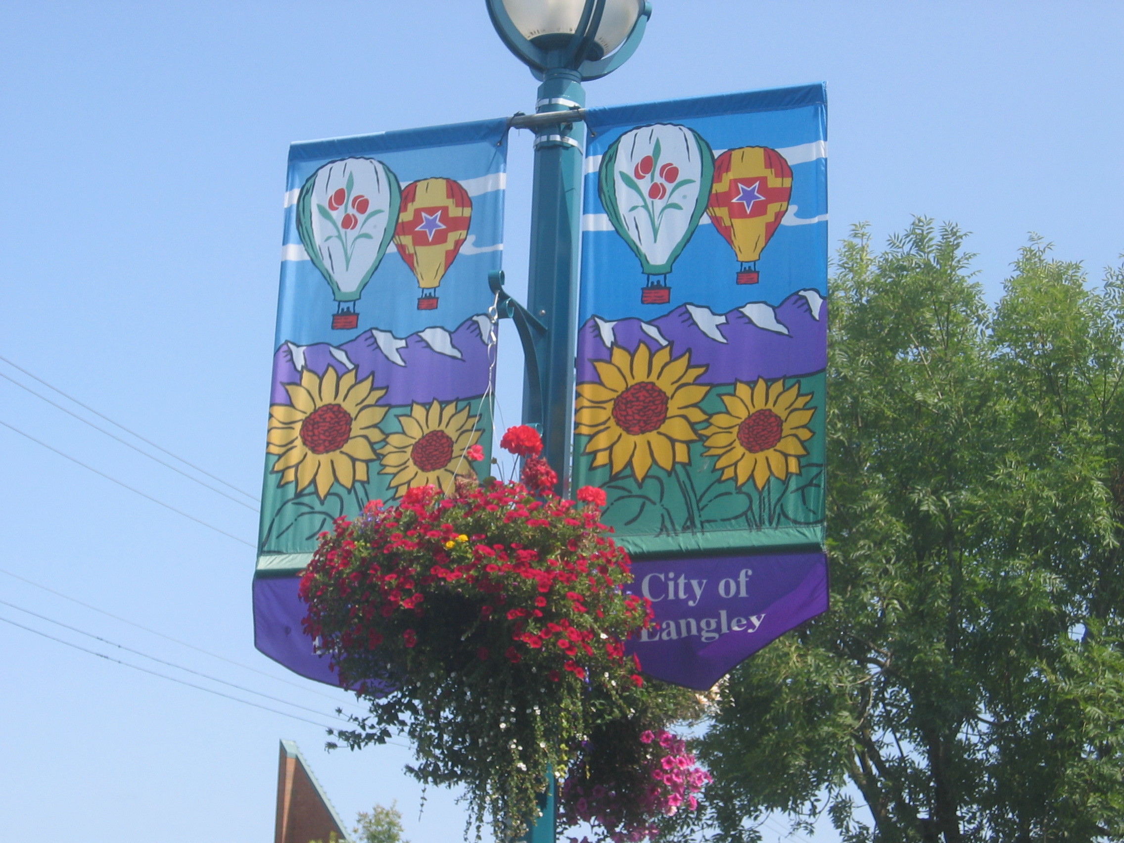
 Street banners in Langley's commercial district
Langley is the home of a very large annual car show, the "Langley Cruise-In".[2] This event is held each September. Langley is also home to the renowned Arts Alive Festival in August.
Government
Langley City Council has seats for one mayor and six councilors. Each serves a 3-year term and attends council meetings on a bi-weekly basis. Other governmental departments include the Office of the Chief Administrative Officer, Corporate Services, Development Services & Economic Development, Engineering, Parks & Environment, Recreation, Culture and Community Services, and the Langley City Fire Rescue Service. The City of Langley has a joint RCMP detachment with the township of Langley.
Langley is also a key component in the Canadian federal electoral district of the same name, which was formed in 2004. The Member of Parliament for the constituency is Conservative Mark Warawa.
Climate
Climate data for Langley Month Jan Feb Mar Apr May Jun Jul Aug Sep Oct Nov Dec Year Record high °C (°F) 15
(59)18.5
(65.3)20
(68)24.4
(75.9)34
(93)32.2
(90.0)35.6
(96.1)36.1
(97.0)33.3
(91.9)27.5
(81.5)19
(66)16.1
(61.0)36.1
(97)Average high °C (°F) 5
(41)7.6
(45.7)10.5
(50.9)13.3
(55.9)16.8
(62.2)19.3
(66.7)22.6
(72.7)22.8
(73.0)19.6
(67.3)14.1
(57.4)8.1
(46.6)5.3
(41.5)13.7 Average low °C (°F) −0.6
(30.9)1.2
(34.2)2.2
(36.0)3.8
(38.8)6.7
(44.1)9.2
(48.6)10.8
(51.4)11.1
(52.0)8.8
(47.8)5.6
(42.1)2.1
(35.8)0.1
(32.2)5.1 Record low °C (°F) −14
(7)−12
(10)−8.3
(17.1)−2.8
(27.0)−0.6
(30.9)1.7
(35.1)3.9
(39.0)3.3
(37.9)−1.7
(28.9)−7
(19)−16
(3)−19.4
(−2.9)−19.4
(−3)Precipitation mm (inches) 176
(6.93)172.1
(6.776)135.2
(5.323)102.7
(4.043)82.8
(3.26)72.9
(2.87)52.7
(2.075)56.4
(2.22)76.4
(3.008)141
(5.55)207.5
(8.169)211.3
(8.319)1,486.9
(58.539)Source: Environment Canada[3] Infrastructure
 Langley City's townhall building.
Langley's community facilities include:
- Al Anderson Memorial – 25 metre public swimming pool
- Douglas Recreation Centre
- Timms Community Centre
- Langley Library
- Cascades Casino, Coast Hotel & Convention Centre
- Numerous parks
Neighbourhoods
The City of Langley's Community Profile[4] identifies six neighbourhoods based on elementary school catchment area: Nicomekl, Douglas, Simonds, Blacklock, Alice Brown and Uplands.
Notable people
- Amanda Crew, actress
- Brett Lawrie, baseball player for the Toronto Blue Jays
- J. Jill Robinson, author of fiction and creative nonfiction
- Brian Smith, the guitarist for the rock band Trooper.
References
- ^ City of Langley. History of Langley
- ^ Langley Cruise-In
- ^ Environment Canada—Canadian Climate Normals 1971–2000, accessed July 10, 2009
- ^ City of Langley Community Profile
- From Prairie to City: A History of the City of Langley, Warren F. Sommer, 1995.
Neighbouring communities

Fleetwood
(City of Surrey)Walnut Grove, Port Kells (Township of Langley) Milner, Fort Langley
(Township of Langley)Cloverdale
(City of Surrey)
Township of Langley  City of Langley

Township of Langley Aldergrove
(Township of Langley)Neighbourhoods in the Township of Langley, British Columbia Main neighbourhoods Aldergrove • Brookswood • Fernridge • Forest Knolls • Fort Langley • Glen Valley • Hopington • Milner • Murrayville • Willoughby • Walnut GroveFirst Nations See Also Langley CityMunicipalities of Metro Vancouver Population over 100,000 Population over 50,000 Population over 10,000 Population under 10,000 Unincorporated areas Subdivisions of British ColumbiaSubdivisions Regions · Regional districts · Forest Regions and Forest Districts · School districts · Land DistrictsSettlements Urban centres Cities Abbotsford · Armstrong · Burnaby · Campbell River · Castlegar · Chilliwack · Colwood · Coquitlam · Courtenay · Cranbrook · Dawson Creek · Duncan · Enderby · Fernie · Fort St. John · Grand Forks · Greenwood · Kamloops · Kelowna · Kimberley · Kitimat · Langford · Langley · Merritt · Nanaimo · Nelson · New Westminster · North Vancouver · Parksville · Penticton · Pitt Meadows · Port Alberni · Port Coquitlam · Port Moody · Powell River · Prince George · Prince Rupert · Quesnel · Revelstoke · Richmond · Rossland · Salmon Arm · Surrey · Terrace · Trail · Vancouver · Vernon · Victoria · White Rock · Williams LakeExternal links
Coordinates: 49°06′15″N 122°39′27″W / 49.1041°N 122.65758°W
Categories:- Langley (city), British Columbia


Wikimedia Foundation. 2010.