- Metamora, Illinois
-
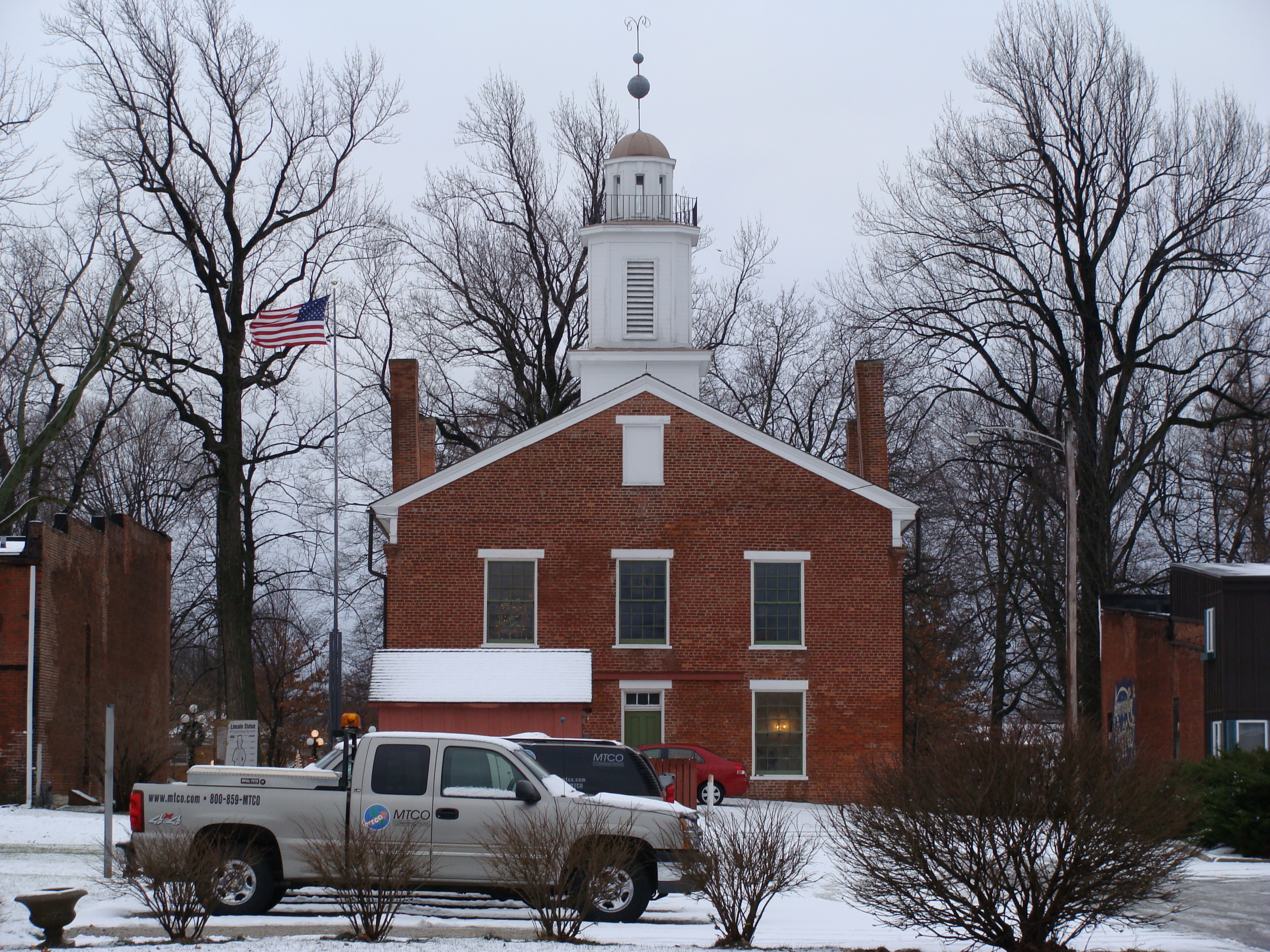
Metamora Village  Metamora Historic Courthouse, from East Chatham Street
Country United States State Illinois County Woodford Elevation 816 ft (249 m) Coordinates 40°47′N 89°22′W / 40.783°N 89.367°W Area 1.4 sq mi (4 km2) - land 1.4 sq mi (4 km2) Population 2,700 (2000) Density 1,944.4 / sq mi (751 / km2) Timezone CST (UTC-6) - summer (DST) CDT (UTC-5) Postal code 61548 Area code 309 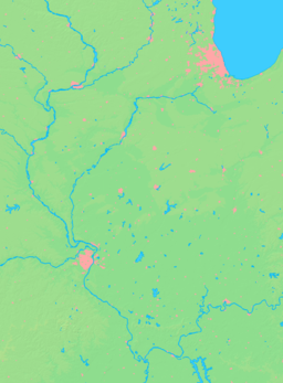

 Location of Metamora within Illinois
Wikimedia Commons: Metamora, Illinois Metamora is a village in Woodford County, Illinois, United States. The population was 2,700 at the 2000 census. Metamora is a growing suburb of Peoria and is part of the Peoria, Illinois Metropolitan Statistical Area.
Contents
Geography
Metamora is located at 40°47′N 89°22′W / 40.783°N 89.367°W (40.7911, -89.3624).[1]
According to the United States Census Bureau, the village has a total area of 1.4 square miles (3.6 km2), all of it land.
Name
Metamora was founded as Hanover in 1836. It was named for Hanover, New Hampshire by a consortium of land speculators called the Hanover Company. New post office conventions required towns to have unique names,[2] forcing the town to differentiate itself from others in Illinois named Hanover. Early post office names included Black Partridge (1836) and Partridge Point (1837). The name of the village was finally changed to Metamora in 1845 based on the character in the popular play Metamora; or, The Last of the Wampanoags.[3] The village still has a Hanover Street and Partridge Street, reflecting these earlier names.
History
Metamora was the county seat of Woodford County from 1843 until 1896. The Metamora Courthouse State Historic Site, a courthouse from this period, is preserved as an Illinois state historic site. Future President Abraham Lincoln and future Vice President Adlai E. Stevenson I practiced law here.
Demographics
As of the census[4] of 2000, there were 2,700 people, 1,050 households, and 743 families residing in the village. The population density was 1,944.4 people per square mile (750.0/km²). There were 1,094 housing units at an average density of 787.9 per square mile (303.9/km²). The racial makeup of the village was 99.07% White, 0.26% African American, 0.19% Native American, 0.00% Asian, 0.07% from other races, and 0.33% from two or more races. Hispanic or Latino of any race were 0.63% of the population.
There were 1,050 households out of which 30.4% had children under the age of 18 living with them, 61.3% were married couples living together, 8.0% had a female householder with no husband present, and 29.2% were non-families. 27.4% of all households were made up of individuals and 17.6% had someone living alone who was 65 years of age or older. The average household size was 2.44 and the average family size was 2.97.
In the village the population was spread out with 23.8% under the age of 18, 5.6% from 18 to 24, 23.4% from 25 to 44, 22.2% from 45 to 64, and 25.0% who were 65 years of age or older. The median age was 43 years. For every 100 females there were 87.5 males. For every 100 females age 18 and over, there were 81.7 males.
The median income for a household in the village was $46,691, and the median income for a family was $56,384. Males had a median income of $40,745 versus $26,505 for females. The per capita income for the village was $20,200. About 1.8% of families and 2.9% of the population were below the poverty line, including 3.8% of those under age 18 and 2.0% of those age 65 or over.
The village is served by Metamora Community Consolidated School District 1 for Kindergarten through 8th grade and by Metamora Township High School for 9th through 12th.
Education
Two school districts are in Metamora including one private Catholic grade school.
- Metamora Grade School District 1 serves Kindergarten through Grade 8 in Metamora and parts of nearby Worth Township.
- Metamora Township High School District 122 comprises a four-year high school serving the village, along with nearby Germantown Hills, and Spring Bay.
- St. Mary's Grade School
Events
At the beginning of August, Metamora hosts the annual "Metamora 4x50" race, an ultracycling event in which participants compete by riding a 50 mile loop four times.[5] The Redbirds are the local high school team mascot, and students participate in a range of regional sports meets including golf, volleyball and soccer.[6]
Sources
- ^ "US Gazetteer files: 2010, 2000, and 1990". United States Census Bureau. 2011-02-12. http://www.census.gov/geo/www/gazetteer/gazette.html. Retrieved 2011-04-23.
- ^ http://www.usps.com/postalhistory/_pdf/PONames.pdf
- ^ Callary, Edward. 2009. Place names of Illinois. Chicago: University of Illinois Press, p. 225.
- ^ "American FactFinder". United States Census Bureau. http://factfinder.census.gov. Retrieved 2008-01-31.
- ^ http://www.ultracycling.com/sections/calendar/races.php
- ^ http://mths.schoolfusion.us/
External links
- Village of Metamora - official web site
- Historic Illinois (Bradley University)
- Metamora Township High School
Municipalities and communities of Woodford County, Illinois Cities 
Villages Bay View Gardens | Benson | Congerville | Deer Creek‡ | Germantown Hills | Goodfield‡ | Kappa | Metamora | Panola | Peoria Heights‡ | Roanoke | Secor | Spring Bay | Washburn‡
Townships Unincorporated
communitiesLow Point | Oak Ridge | Spires | Woodford
Categories:- Villages in Illinois
- Populated places in Woodford County, Illinois
- Peoria metropolitan area


Wikimedia Foundation. 2010.