Barrack Heights, New South Wales
- Barrack Heights, New South Wales
Infobox Australian Place | type = suburb
name = Barrack Heights
city = Shellharbour
state = New South Wales
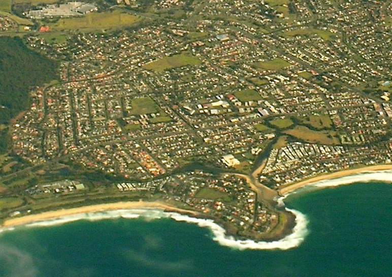
caption =
lga = City of Shellharbour
postcode = 2528
est =
pop =
area =
propval =
stategov = Shellharbour
fedgov = Throsby
near-nw = Mount Warrigal
near-n = Lake Illawarra
near-ne = Warilla
near-w = Blackbutt
near-e = Barrack Point
near-sw =
near-s = Flinders
near-se =
dist1 =
location1=
Barrack Heights is a large suburb of the City of Shellharbour in New South Wales, Australia. Many institutions are located in Barrack Heights, including Shellharbour Public Hospital, Shellharbour Private Hospital, Warilla Bowling Club, Warilla Sports Club and Warilla High School.
Barrack Heights is surrounded by the suburbs of Warilla, Mount Warrigal, Flinders, Shellharbour, Blackbutt, and Barrack Point.
Demography
The 2001 Australian census revealed that 6,397 lived in the suburb of Barrack Heights. Indigenous peoples accounted for 171 or 2.7% of the population.
Country of Birth
Australia - 4,353 or 68.0%
England - 448 or 7.0%
Macedonia - 298 or 4.7%
Scotland - 82 or 1.3%
Italy - 80 or 1.3%
Croatia - 77 or 1.2%
Language Spoken at Home
English language only - 4,898 or 76.6%
Macedonian - 448 or 7.0%
Spanish - 118 or 1.8%
Italian - 100 or 1.6%
Croatian - 99 or 1.5%
Serbian - 74 or 1.2%
Wikimedia Foundation.
2010.
Look at other dictionaries:
Cordeaux Heights, New South Wales — Cordeaux Heights New South Wales Population: 5,067 … Wikipedia
Georges Heights, New South Wales — Infobox Australian Place | type = locality name = Georges Heights city = Sydney state = nsw caption = Former officers residence and barrack, now a restaurant lga =Municipality of Mosman postcode = 2088 near nw = near n = Balmoral near ne = near w … Wikipedia
List of Government schools in New South Wales: A–F — The New South Wales Department of Education and Training (DET) is a department of the Government of New South Wales. In addition to other responsibilities, it operates primary schools and secondary schools throughout the state. Contents 1 A 2 B 3 … Wikipedia
Mount Warrigal, New South Wales — Mount Warrigal Wollongong, New South Wales Aerial view from east Population … Wikipedia
Oak Flats, New South Wales — Oak Flats Wollongong, New South Wales Aerial photo from east Population … Wikipedia
Albion Park, New South Wales — Albion Park Wollongong, New South Wales An aerial picture of the suburb Population … Wikipedia
Mount Pleasant, New South Wales — This article is about a suburb of Wollongong. For an area in Penrith, see Cranebrook, New South Wales. Mount Pleasant Wollongong, New South Wales Population: 906[1 … Wikipedia
Marshall Mount, New South Wales — Marshall Mount New South Wales Sunset at Marshall Mount Established … Wikipedia
North Wollongong, New South Wales — North Wollongong Wollongong, New South Wales Smiths Hill Fort … Wikipedia
Mount Ousley, New South Wales — Mount Ousley Wollongong, New South Wales Population: 1,685[1] Postcode: 2519 … Wikipedia