- Crewe and Nantwich Circular Walk
-
 Waymarker
Crewe and Nantwich Circular Walk 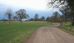
At the Dorfold Estate Length 47 kilometres (29 mi) Location Cheshire, England Use Hiking Season All year The Crewe and Nantwich Circular Walk is a 29-mile (47 km) long-distance walkers' path in the Cheshire East area of Cheshire, England. As the name suggests, the walk forms a circuit around the towns of Crewe and Nantwich. It is one of two circular walks in the county of Cheshire, the other being the Vale Royal Round.
The walk is waymarked with a circle with symbols of a leaf, cartwheel and crossed swords. Although mainly on level terrain, the many stiles make the walk unsuitable for people with mobility problems.
Contents
Route and sights of interest
 Shrewbridge Lake, Nantwich
 Brickyard Bridge on the Shropshire Union Canal
 Haslington Hall
The walk is divided into three sections, with sights of interest as follows:
Weston to Acton
10 miles (16 km)
- Weston
- Hough Common
- Wybunbury
- Mill Bank Farm, with site of medieval watermill
- Old Hall Austerson, with 16th-century barn
- Shrewbridge Lake, saltwater lake on the outskirts of Nantwich
- Dorfold Hall, Jacobean manor house
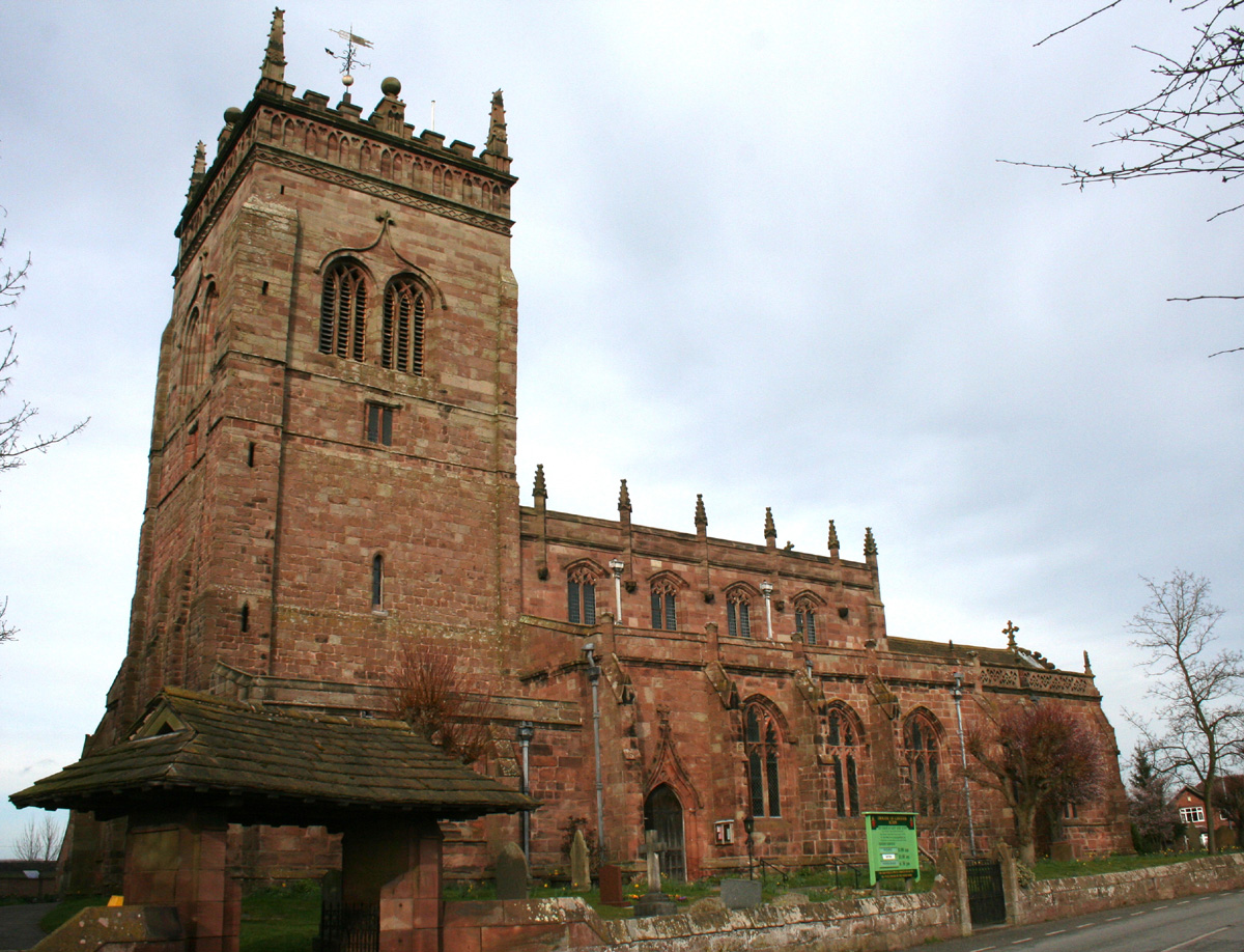
- St Mary's Church, Acton, with tower dating from the 13th century. The churchyard has a 17th-century sundial and almhouses dating from 1613.
- Acton village has several buildings dating from the 17th and 18th centuries
Acton to Coppenhall
10.5 miles (17 km)
- Henhull, site of Roman road
- Reaseheath College
- Middlewich branch of the Shropshire Union Canal, with Brickyard Bridge, named after an adjacent brickworks
- Moat House Farm, with remains of unusual old moat structure
Coppenhall to Weston
8.5 miles (14 km)
- Coppenhall Moss, site of former peat bog, now drained
- Sandbach Flashes, series of salt water pools, good for bird-watching
- Winterley, former millpond, now home to mute swans
- Haslington Hall, Tudor house
- Valley Brook, surrounded by old woodland
See also
External Links
Ceremonial county of Cheshire Cheshire Portal Unitary authorities Major settlements Alsager • Birchwood • Bollington • Chester • Congleton • Crewe • Ellesmere Port • Frodsham • Knutsford • Macclesfield • Middlewich • Nantwich • Neston • Northwich • Poynton • Runcorn • Sandbach • Warrington • Widnes • Wilmslow • Winsford
See also: List of civil parishes in CheshireRivers Topics History • MuseumsCategories:- Long-distance footpaths in England
- Footpaths in Cheshire


Wikimedia Foundation. 2010.