- Rajhrad
Geobox | Settlement
name = Rajhrad
other_name =
category = Town
image_caption =

image_caption =

symbol = Rajhrad CZ CoA.svg
etymology =
official_name =
motto =
nickname =
country = Czech Republic
country_
state =
region = South Moravian
region_type = Region
district = Brno-Country
district_type = District
commune = Židlochovice
municipality =
part =
river = Svratka
location =
elevation = 190
lat_d = 49
lat_m = 5
lat_s =
lat_NS = N
long_d = 16
long_m = 36
long_s =
long_EW = E
highest =
highest_elevation =
highest_lat_d =
highest_long_d =
lowest =
lowest_elevation =
lowest_lat_d =
lowest_long_d =
area = 9.48
area_round = 2
population = 2722
population_date = 2005
population_density = auto
established = 13th century
established_type = First mentioned
mayor = František Ondráček
timezone =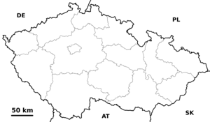
map_background = Czechia - background map.png
map_locator = Czechia
commons = Rajhrad
statistics = [http://www.statnisprava.cz/ebe/ciselniky.nsf/i/583758 statnisprava.cz]
website = [http://www.rajhrad.cz/ www.rajhrad.cz]
footnotes =Rajhrad ( _de. Groß Raigern) is a town in
Brno-Country District ,South Moravian Region ,Czech Republic . It has a population of 2,722 (2005 est.). There is aBenedictine monastery in the town.External links
* [http://www.rajhrad.cz/ Official website]


Wikimedia Foundation. 2010.