- List of places on land with elevations below sea level
-
This is a list of places below mean sea level that are on land. Places in tunnels, mines, basements, dug holes (also with open sky), under water, or existing temporarily as a result of ebbing of sea tide etc are not included. All figures are in meters below sea level:
-
This list is incomplete; you can help by expanding it.
Contents
Africa
- Afar Depression
- Lac Assal, Djibouti, [−153 m (−502 ft)] lowest land in Africa
- Danakil Depression, Ethiopia, [−125 m (−410 ft)]
- Qattara Depression, Egypt, [−133 m (−436 ft)]
- Sebkha paki Tah, Morocco, in the Laâyoune-Boujdour-Sakia El Hamra region [−55 m (−180 ft)]
- Sabkhat Ghuzayyil, Libya [−47 m (−154 ft)]
- Chott Melrhir, Algeria, [−40 m (−131 ft)]
- Shatt al Gharsah, Tunisia, [−17 m (−56 ft)]
- Sebkhet Te-n-Dghamcha, Mauritania, [−5 m (−16 ft)]
Asia (without Middle East)
- Turfan Depression, China [−154 m (−505 ft)]
- Caspian Basin
- Caspian Depression, Karagiye, Kazakhstan [−138 m (−453 ft)]
- Caspian Sea and its shores, Russia - Kazakhstan - Azerbaijan - Iran - Turkmenistan [−28 m (−92 ft)] lowest land in Europe
- Mandvi, Gujarat [−15 m (−49 ft)]
- Hachirogata, Japan [−4 m (−13 ft)]
- Kuttanad, Kerala, India [−2 m (−7 ft)]
Oceania
- Lake Eyre, Australia, −16 m (−52 ft)
- Taieri Plain, New Zealand, −2 m (−7 ft)
Europe
- Lammefjord, Denmark [−7 m (−23 ft)]
- Netherlands, coastal provinces [(−1 to −7 m) (−3 to −23 ft)]
- Zuidplaspolder [−7 m (−23 ft)]
- Haarlemmermeer [−5 m (−16 ft)]
- Amsterdam Schiphol Airport [−4 m (−13 ft)]
- Wieringermeer [−4 m (−13 ft)]
- Flevoland [−4 m (−13 ft)]
- Camargue, France [−2 m (−7 ft)]
- The Fens, United Kingdom [−4 m (−13 ft)]
- Neuendorf-Sachsenbande, Germany [−4 m (−13 ft)]
- Kristianstad, Sweden [−2 m (−7 ft)]
- Żuławy Wiślane, Poland, Baltic delta of the Vistula River [−2 m (−7 ft)]
- Le Contane, Jolanda di Savoia, Italy [−3.44 m (−11.3 ft)]
Middle East
North America
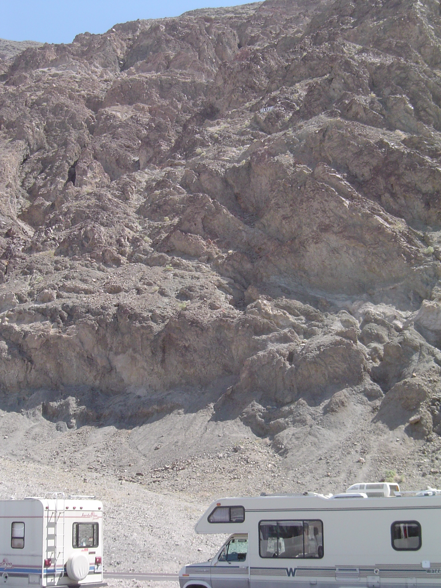
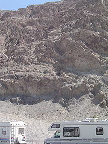 Sea level sign (2/3 of the way up the cliff face) above Badwater Basin, Death Valley National Park, USA
- Death Valley
- Badwater, Death Valley, USA [−86 m (−282 ft)] lowest land in North America
- Furnace Creek Airport (L06), Death Valley, USA [−64 m (−210 ft)]
- Salton Sink, USA [−66 m (−217 ft)]
- Bombay Beach, California, USA [−69 m (−226 ft)]
- Salton Sea Beach, California, USA [−67 m (−220 ft)]
- Desert Shores, California, USA [−61 m (−200 ft)]
- Calipatria, California, USA [−56 m (−184 ft)]
- Westmorland, California, USA [−48 m (−157 ft)]
- Niland, California, USA [−43 m (−141 ft)]
- Salton City, California, USA [−38 m (−125 ft)]
- Brawley, California, USA [−37 m (−121 ft)]
- Thermal, California, USA [−37 m (−121 ft)]
- Coachella, California, USA [−22 m (−72 ft)]
- Imperial, California, USA [−18 m (−59 ft)]
- Seeley, California, USA [−13 m (−43 ft)]
- El Centro, California, USA [−12 m (−39 ft)]
- Indio, California, USA [−6 m (−20 ft)]
- Heber, California, USA [−5 m (−16 ft)]
- Holtville, California, USA [−3 m (−10 ft)]
- New Orleans, Louisiana, USA [−2 m (−7 ft)]
- Laguna Salada, Mexico [−10 m (−33 ft)]
- Lago Enriquillo, Dominican Republic [−46 m (−151 ft)]
South America
- Laguna del Carbón, Argentina [−105 m (−344 ft)] lowest land in South America
- Bajo del Gualicho, Río Negro province, Argentina [−72 m (−236 ft)]
- Salina Grande and Salina Chica, Península Valdés, Chubut Province, Argentina [−42 m (−138 ft)]
- Georgetown, Guyana [−2 m (−7 ft)]
-
This list is incomplete; you can help by expanding it.
Historic & Ice covered areas
Deeper and larger than any of the trenches in the list above is the Bentley Subglacial Trench in Antarctica, at a depth of 2,540 m (8,330 ft). It is subglacial, meaning that it is permanently covered by the largest ice cap in the world. Therefore it is not included in any list on the page. If the ice melted it would be covered by sea.
The biggest dry land area below sea level that has been known to exist in the geological past, as measured by continuous volume of atmospheric air below sea level, was the dry bed of the Mediterranean Sea in the late Miocene period during the Messinian salinity crisis.
See also
- List of countries by lowest point
- Extreme points of Earth
- List of submarine topographical features
External links
Categories:- Lists of places
- Geography-related lists
- Geology lists
- Physical geography
- Depressions (geology)
- Lowest points
-
Wikimedia Foundation. 2010.