- Ben Klibreck
-
Ben Klibreck 
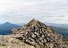
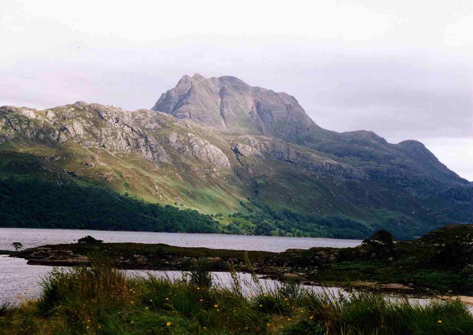
Ben Klibreck from Strath VagastieElevation 962 m (3,156 ft) Prominence 818 m (2,684 ft) Ranked 32nd in British Isles Parent peak Ben More Assynt Listing Munro, Marilyn Translation "hill of the speckled cliff" (Gaelic) Pronunciation Scottish Gaelic: [ˈpeiɲ ˈkleːpɾʲiçkʲ] Location Location Highland, Scotland Topo map OS Landranger 16, OS Explorer 443 OS grid NC585299 Ben Klibreck (Gaelic: Beinn Cléith Bric) is a Scottish mountain located in central Sutherland. It is an isolated hill, rising above a large area of moorland. The highest point, Meall nan Con, rises to 962 m (3165 ft) and is therefore the second most northerly Munro after Ben Hope.[1] The western side of the hill is a fairly uniform steep, heathery slope, while the eastern side has a series of large, grassy corries and has been described as having more character.[2]
Numerous ascents of Ben Klibreck are possible. It can be climbed from Crask to the south or Altnaharra to the north, but the easiest and most popular route is from the A836 to the west, by way of Loch nan Uan and up steep slopes to the summit ridge, which is then followed to the summit.[1]
References
- ^ a b The Munros (SMC Guide), Donald Bennett et al., ISBN 0-907521-13-4
- ^ The Munros - Scotland's Highest Mountains, Cameron McNeish, ISBN 0-947778-50-8

Coordinates: 58°14′09″N 4°24′34″W / 58.235835°N 4.409435°W
Categories:- Munros
- Marilyns of Scotland
- Mountains and hills of the Northwest Highlands


Wikimedia Foundation. 2010.