- Mountain peaks of the Wicklow Mountains
-
 1 - Lugnaquilla
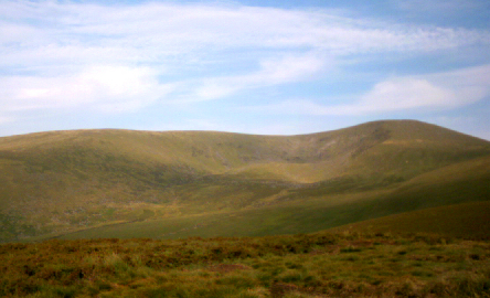
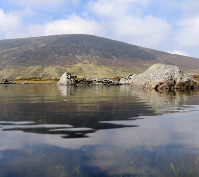
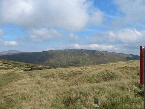
 2 - Mullaghcleevaun
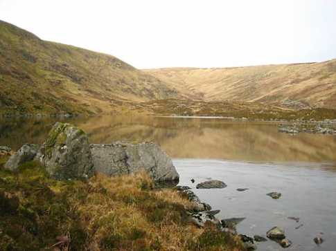
 3 - Tonelagee
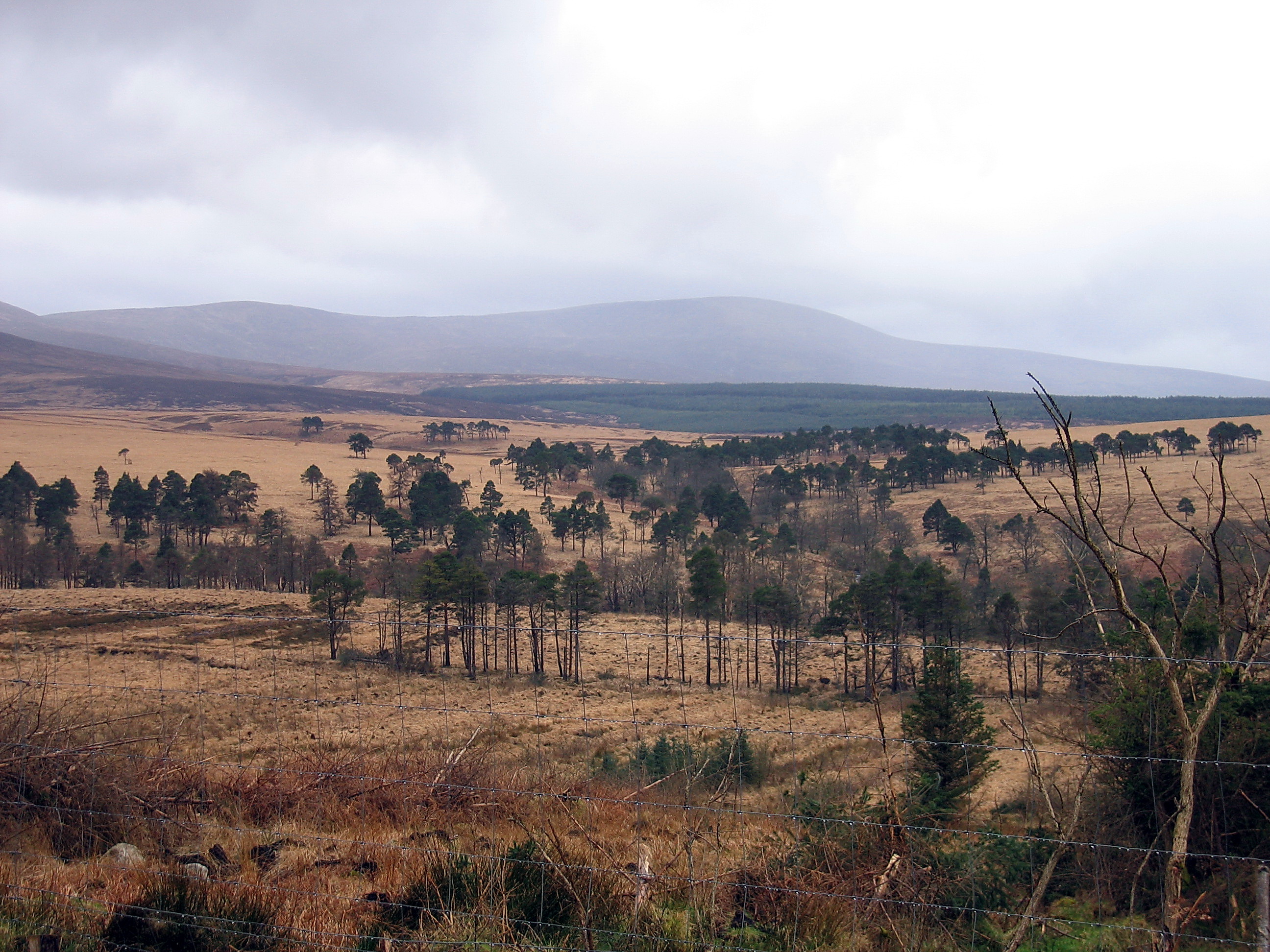
 4 - Cloghernagh
 5 - Corrigasleggaun
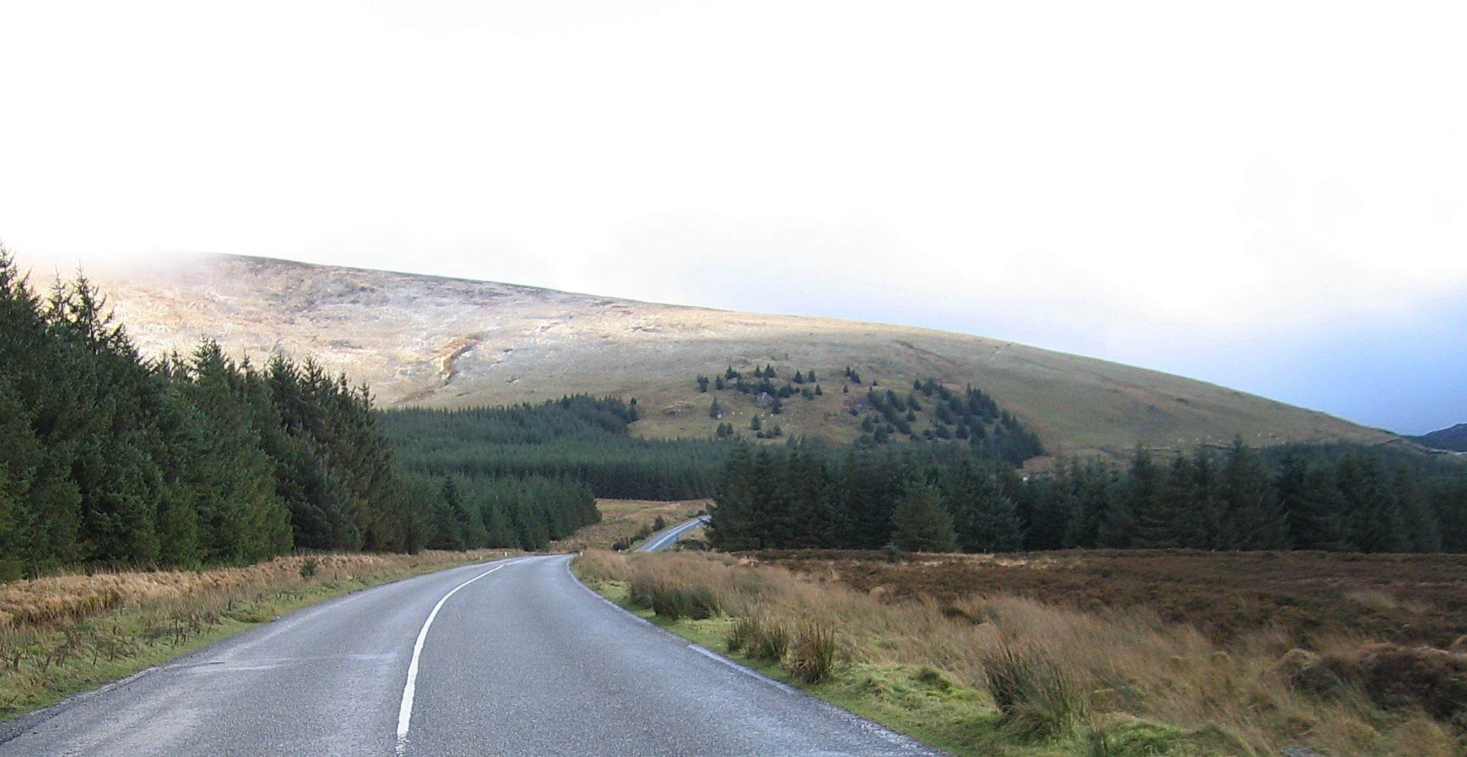
 6 - Slievemaan
 7 - Camenabologue
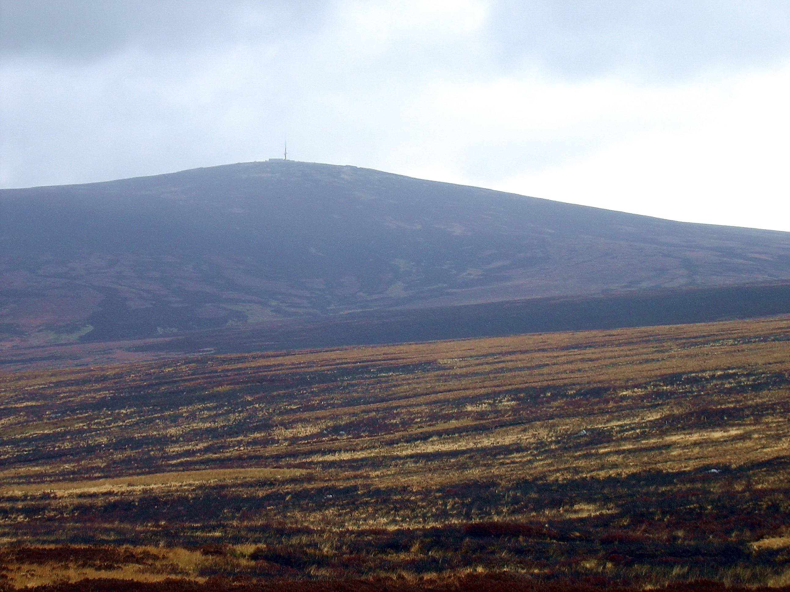
 8 - Kippure
 9 - Conavalla
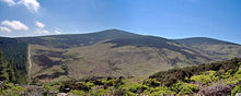 10 - DjouceMain article: Wicklow MountainsSee also: List of mountains in Ireland
This article comprises a sortable table of major mountain peaks of the Wicklow Mountains of Ireland. This article defines a major mountain peak as a summit with a topographic elevation of at least 300 m (980 ft). Topographic elevation is defined as the vertical distance above the reference geoid, a precise mathematical model of the Earth's sea level as an equipotential gravitational surface.
Rank Mountain peak Elevation 1 Lugnaquilla 925 m (3,035 ft) 2 Mullaghcleevaun 849 m (2,785 ft) 3 Tonelagee 817 m (2,680 ft) 4 Cloghernagh 800 m (2,600 ft) 5 Corrigasleggaun 794 m (2,605 ft) 6 Slievemaan 759 m (2,490 ft) 7 Camenabologue 758 m (2,487 ft) 8 Kippure 757 m (2,484 ft) 9 Conavalla 734 m (2,408 ft) 10 Djouce 725 m (2,379 ft) 11 Seefingan 724 m (2,375 ft) 12 Duff Hill 720 m (2,360 ft) 13 Gravale 718 m (2,356 ft) 14 Barnacullian 714 m (2,343 ft) 15 Moanbane 703 m (2,306 ft) 16 Table Mountain 701 m (2,300 ft) 17 Camaderry 698 m (2,290 ft) 18 Silsean 698 m (2,290 ft) 19 Benleagh 689 m (2,260 ft) 20 War Hill 686 m (2,251 ft) 21 Carrigvore 682 m (2,238 ft) 22 Mullacor 657 m (2,156 ft) 23 Ballineddan 652 m (2,139 ft) 24 Logduff 652 m (2,139 ft) 25 Croaghanmoira 650 m (2,130 ft) 26 Seahan 648 m (2,126 ft) 27 Tonduff 642 m (2,106 ft) 28 Scarr 641 m (2,103 ft) 29 Keadeen 635 m (2,083 ft) 30 White Hill 630 m (2,070 ft) 31 Seefin 621 m (2,037 ft) 32 Cullentragh 610 m (2,000 ft) 33 Croghan Mountain 606 m (1,988 ft) 34 Luggala 595 m (1,952 ft) 35 Gendoo 582 m (1,909 ft) 36 Maulin 570 m (1,870 ft) 37 Slieve Maan 560 m (1,840 ft) 38 Brockagh 557 m (1,827 ft) 39 Prince William's Seat 555 m (1,821 ft) 40 Sugarloaf 552 m (1,811 ft) 41 Church Mountain 543 m (1,781 ft) 42 Sheilstown Hill 536 m (1,759 ft) 43 Two Rock 536 m (1,759 ft) 44 Ballinacor 531 m (1,742 ft) 45 Carrickashane 508 m (1,667 ft) 46 Great Sugar Loaf 501 m (1,644 ft) 47 Kirikee 474 m (1,555 ft) 48 Tibradden Mountain 467 m (1,532 ft) 49 Ballinafunshoge 460 m (1,510 ft) 50 Three Rock 450 m (1,480 ft) 51 Ballygobban Hill 447 m (1,467 ft) 52 Coolafunshoge 431 m (1,414 ft) 53 Aghowle Upper 420 m (1,380 ft) 54 Kilmashogue 403 m (1,322 ft) 55 Cushbawn 400 m (1,300 ft) 56 Coolgarrow 398 m (1,306 ft) 57 Garryhoe 397 m (1,302 ft) 58 Muskeagh Hill 397 m (1,302 ft) 59 Slieveboy 391 m (1,283 ft) 60 Montpelier Hill 383 m (1,257 ft) 61 Carrick Mountain 381 m (1,250 ft) 62 Cupidstown Hill 379 m (1,243 ft) 63 Cronelea 357 m (1,171 ft) 64 Little Sugar Loaf 342 m (1,122 ft) 65 Slieveroe 328 m (1,076 ft) Categories:- Mountains and hills of County Wicklow


Wikimedia Foundation. 2010.