- Northwood, Iowa
-
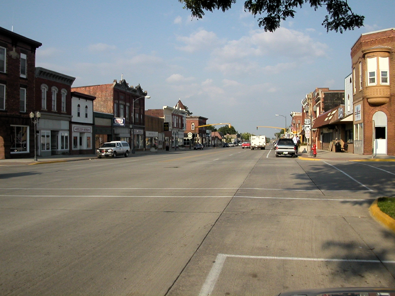
Northwood, Iowa — City — Downtown Northwood Location of Northwood, Iowa
Coordinates: 43°26′45″N 93°13′9″W / 43.44583°N 93.21917°WCoordinates: 43°26′45″N 93°13′9″W / 43.44583°N 93.21917°W Country  United States
State  Iowa
IowaCounty Worth Area – Total 3.8 sq mi (9.8 km2) – Land 3.8 sq mi (9.8 km2) – Water 0.0 sq mi (0.0 km2) Elevation 1,230 ft (375 m) Population (2000) – Total 2,050 – Density 542.2/sq mi (209.3/km2) Time zone Central (CST) (UTC-6) – Summer (DST) CDT (UTC-5) ZIP code 50459 Area code(s) 641 FIPS code 19-57630 GNIS feature ID 0459654 Northwood is a city in Worth County, Iowa, United States, along the Shell Rock River. The population was 2,050 at the 2000 census. It is the county seat of Worth County[1].
Northwood is part of the Mason City Micropolitan Statistical Area.
Contents
Geography
Northwood's longitude and latitude coordinates
in decimal form are 43.445783, -93.219123. [2]According to the United States Census Bureau, the city has a total area of 3.8 square miles (9.8 km2), all of it land.
Demographics
Northwood Historical Population Year Pop. ±% 1870 289 — 1880 844 +192.0% 1890 859 +1.8% 1900 1,271 +48.0% 1910 1,264 −0.6% 1920 1,597 +26.3% 1930 1,554 −2.7% 1940 1,724 +10.9% 1950 1,767 +2.5% 1960 1,768 +0.1% 1970 1,950 +10.3% 1980 2,193 +12.5% 1990 1,940 −11.5% 2000 2,050 +5.7% Source: "American FactFinder". United States Census Bureau. http://factfinder.census.gov. As of the census[3] of 2000, there were 2,050 people, 914 households, and 549 families residing in the city. The population density was 542.2 people per square mile (209.4/km²). There were 982 housing units at an average density of 259.7 per square mile (100.3/km²). The racial makeup of the city was 98.24% White, 0.10% African American, 0.10% Native American, 0.20% Asian, 0.44% from other races, and 0.93% from two or more races. Hispanic or Latino of any race were 2.39% of the population.
There were 914 households out of which 25.8% had children under the age of 18 living with them, 47.9% were married couples living together, 8.9% had a female householder with no husband present, and 39.9% were non-families. 36.0% of all households were made up of individuals and 20.6% had someone living alone who was 65 years of age or older. The average household size was 2.15 and the average family size was 2.76.
In the city the population was spread out with 20.5% under the age of 18, 7.2% from 18 to 24, 23.9% from 25 to 44, 22.4% from 45 to 64, and 26.0% who were 65 years of age or older. The median age was 44 years. For every 100 females there were 89.5 males. For every 100 females age 18 and over, there were 84.8 males.
The median income for a household in the city was $33,030, and the median income for a family was $41,445. Males had a median income of $27,589 versus $20,637 for females. The per capita income for the city was $18,167. About 6.4% of families and 7.9% of the population were below the poverty line, including 5.8% of those under age 18 and 11.6% of those age 65 or over.
References
- ^ "Find a County". National Association of Counties. http://www.naco.org/Counties/Pages/FindACounty.aspx. Retrieved 2011-06-07.
- ^ "US Gazetteer files: 2010, 2000, and 1990". United States Census Bureau. 2011-02-12. http://www.census.gov/geo/www/gazetteer/gazette.html. Retrieved 2011-04-23.
- ^ "American FactFinder". United States Census Bureau. http://factfinder.census.gov. Retrieved 2008-01-31.
External links
- Official city Web site
- KYTC Radio
- City-Data Comprehensive statistical data and more about Northwood
Municipalities and communities of Worth County, Iowa County seat: NorthwoodCities 
Community Categories:- Populated places in Worth County, Iowa
- Cities in Iowa
- County seats in Iowa
- Mason City micropolitan area

Wikimedia Foundation. 2010.