- Erving, Massachusetts
Infobox Settlement
official_name = Erving, Massachusetts
nickname =
motto =
imagesize =
image_caption =
image_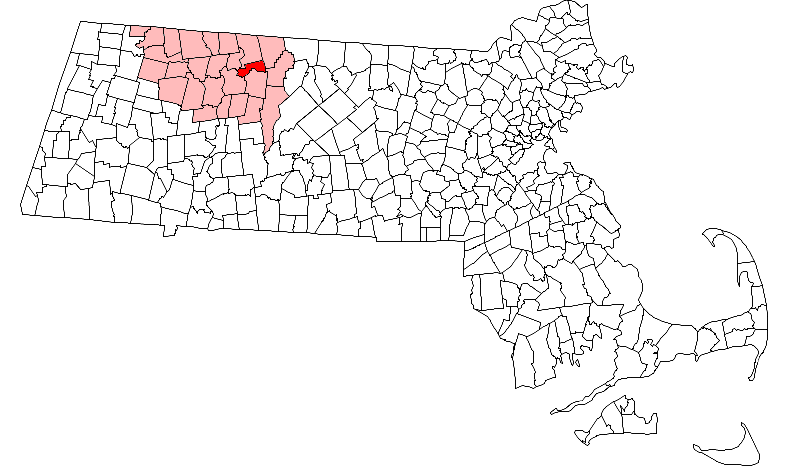
mapsize = 250px
map_caption = Location in Franklin County in Massachusetts
mapsize1 =
map_caption1 =
subdivision_type = Country
subdivision_name =United States
subdivision_type1 = State
subdivision_name1 =Massachusetts
subdivision_type2 = County
subdivision_name2 = Franklin
established_title = Settled
established_date = 1801
established_title2 = Incorporated
established_date2 = 1838
established_title3 =
established_date3 =
government_type =Open town meeting
leader_title =
leader_name =
leader_title1 =
leader_name1 =
area_magnitude =
area_total_km2 = 37.3
area_total_sq_mi = 14.4
area_land_km2 = 35.9
area_land_sq_mi = 13.9
area_water_km2 = 1.3
area_water_sq_mi = 0.5
population_as_of = 2000
settlement_type = Town
population_total = 1467
population_density_km2 = 40.8
population_density_sq_mi = 105.7
elevation_m = 145
elevation_ft = 475
timezone = Eastern
utc_offset = -5
timezone_DST = Eastern
utc_offset_DST = -4
latd = 42 |latm = 36 |lats = 00 |latNS = N
longd = 72 |longm = 23 |longs = 55 |longEW = W
website = http://www.mass.gov/cc/erving.html
postal_code_type = ZIP code
postal_code = 01344
area_code = 413
blank_name = FIPS code
blank_info = 25-21780
blank1_name = GNIS feature ID
blank1_info = 0618163
footnotes =Erving is a town in Franklin County,
Massachusetts ,United States . The population was 1,467 at the 2000 census. It is part of theSpringfield, Massachusetts Metropolitan Statistical Area.History
Erving was first settled in 1801 and was officially incorporated in 1838. What is now Erving was once the farm of John Erving, the founder. Today, Erving has a nice little shool a police and fire department, and a couple of small farms.
Geography
According to the
United States Census Bureau , the town has a total area of 14.4square mile s (37.3km² ), of which, 13.9 square miles (35.9 km²) of it is land and 0.5 square miles (1.3 km²) of it (3.61%) is water.The
Millers River , a tributary of theConnecticut River , passes through the town. The terrain of Erving is hilly and rugged; most of the developed area of the town is located along the river.Northfield Mountain and its peaks occupy much of the northern two-thirds of the town. The mountain is the location of a pumped storage hydroelectric facility.Outdoor recreation
The town is home to a number of topographic features popular among outdoor recreation enthusiasts. The
Millers River is used for fishing and whitewaterkayaking . Northfield Mountain hosts cross country ski trails, hiking trails, and rock climbing ascents, including the convert|110|mi|kmMetacomet-Monadnock Trail and theFarley Ledges rock climbing area.Demographics
As of the
census GR|2 of 2000, there were 1,467 people, 600 households, and 400 families residing in the town. Thepopulation density was 105.7 people per square mile (40.8/km²). There were 630 housing units at an average density of 45.4/sq mi (17.5/km²). The racial makeup of the town was 96.80% White, 0.14% African American, 0.82% Native American, 0.14% Asian, 0.41% from other races, and 1.70% from two or more races. Hispanic or Latino of any race were 0.89% of the population.There were 600 households out of which 29.2% had children under the age of 18 living with them, 53.3% were married couples living together, 8.0% had a female householder with no husband present, and 33.3% were non-families. 26.7% of all households were made up of individuals and 12.2% had someone living alone who was 65 years of age or older. The average household size was 2.45 and the average family size was 2.94.
In the town the population was spread out with 22.9% under the age of 18, 6.5% from 18 to 24, 30.5% from 25 to 44, 26.3% from 45 to 64, and 13.8% who were 65 years of age or older. The median age was 39 years. For every 100 females there were 101.2 males. For every 100 females age 18 and over, there were 99.1 males.
The median income for a household in the town was $40,039, and the median income for a family was $47,212. Males had a median income of $35,511 versus $26,711 for females. The
per capita income for the town was $19,107. About 4.7% of families and 6.7% of the population were below thepoverty line , including 8.5% of those under age 18 and 5.1% of those age 65 or over.External links
* [http://www.ervingmass.org Town website]
Wikimedia Foundation. 2010.