- River Ingol
Geobox|River
name =River Ingol
native_name =
other_name =
category =
etymology =
nickname =

image_size =250
image_caption =River Ingol at Snettisham
country =England
state = Norfolk
region = East of England
district =King's Lynn and West Norfolk
municipality =
parent
tributary_left =
tributary_right =
city =
landmark =
river =
source =Village of Shernbourne
mouth = the Wash atWolferton Creek
length_imperial =6.8
length_orientation =
width_imperial =
width_orientation =
depth_imperial =
volume_imperial =
warershed_imperial =
discharge_imperial =
discharge_max_imperial =
discharge_min_imperial =
Watermills_=
free_type =
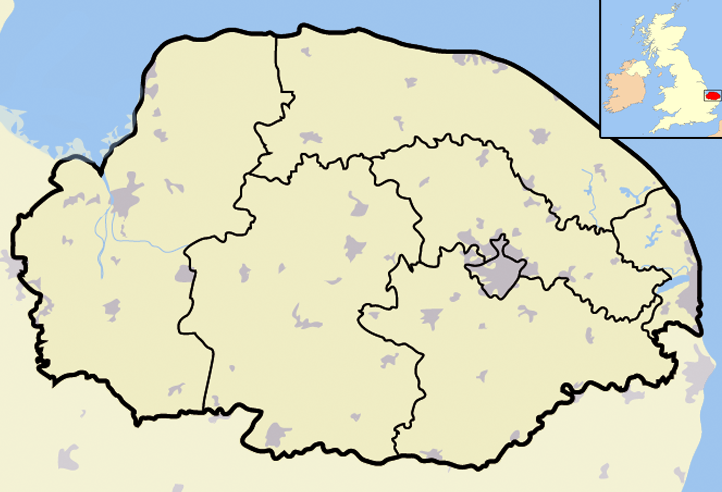
map_caption = River Ingol Within Kings Lynn & West Norfolk
map_background =
map_locator =
map_locator_x =22
map_locator_y =13
website =
footnotes =The River Ingol is a small river in the west of the English county ofNorfolk .The Source
The source of the river can be found a little to the west of the village of
Shernborne . From Shernborne the river flows across agricultural land towardsSnettisham .Watermill at Snettisham
On the river at Snettisham there stands a
watermill . This was built in1800 for £800 at a time whenbread was scarce and it was built by the community ofSnettisham for the people of the village. It is believed that the present mill was built on an existing site although virtually no records have so far been found apart from the fact that Thomas Stonne was a Snettisham miller in 1626. At the time of Domesday there were seven mills in Snettisham more than in any other Norfolk village. Today's mill is very small and originally consisted of a single small structure built of local dark brown carrstone with a pantiled roof. In1877 machinery was improved and a granary and wagon store were added to the complex. The mill had three pairs of stones and unusually the larger two pairs were driven from above and the smaller pair from below, the latter pair required less power and was used when water levels were low. The mill worked on until1940 producingflour and after that was used for animal feed production until1960 .nettisham to the Sea
From Snettisham the river flows again across open
agricultural land. The rivers course has been modified but there are no embankments or flood defence structures to date. The lower most reaches of the river run parallel to the coastline were the river backs up into a series of ponds and tidal flaps, discharging into the sea at low tide. These brackish lagoons and intertidal mudflats, and saltmarsh, all hold selection of birds, plants, and rare invertebrates. On Faden’s map of Norfolk of1797 the tidal Ponds of today were part of what was then Snettisham harbor and salt marshes which was also then the mouth of the river Ingol
Wikimedia Foundation. 2010.