- Grove Street (PATH station)
-
Grove Street 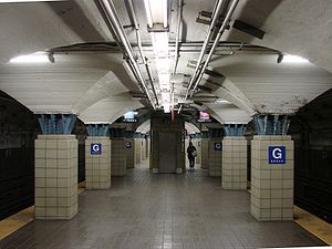
Station statistics Address Newark Avenue and Grove Street
Jersey City, New JerseyCoordinates 40°43′11″N 74°02′35″W / 40.719671°N 74.043117°WCoordinates: 40°43′11″N 74°02′35″W / 40.719671°N 74.043117°W Lines NWK–WTCJSQ–33JSQ–33 (via HOB)Connections NJT Bus: 80, 81, 82, 86
Red & Tan in Hudson County: 4, 16
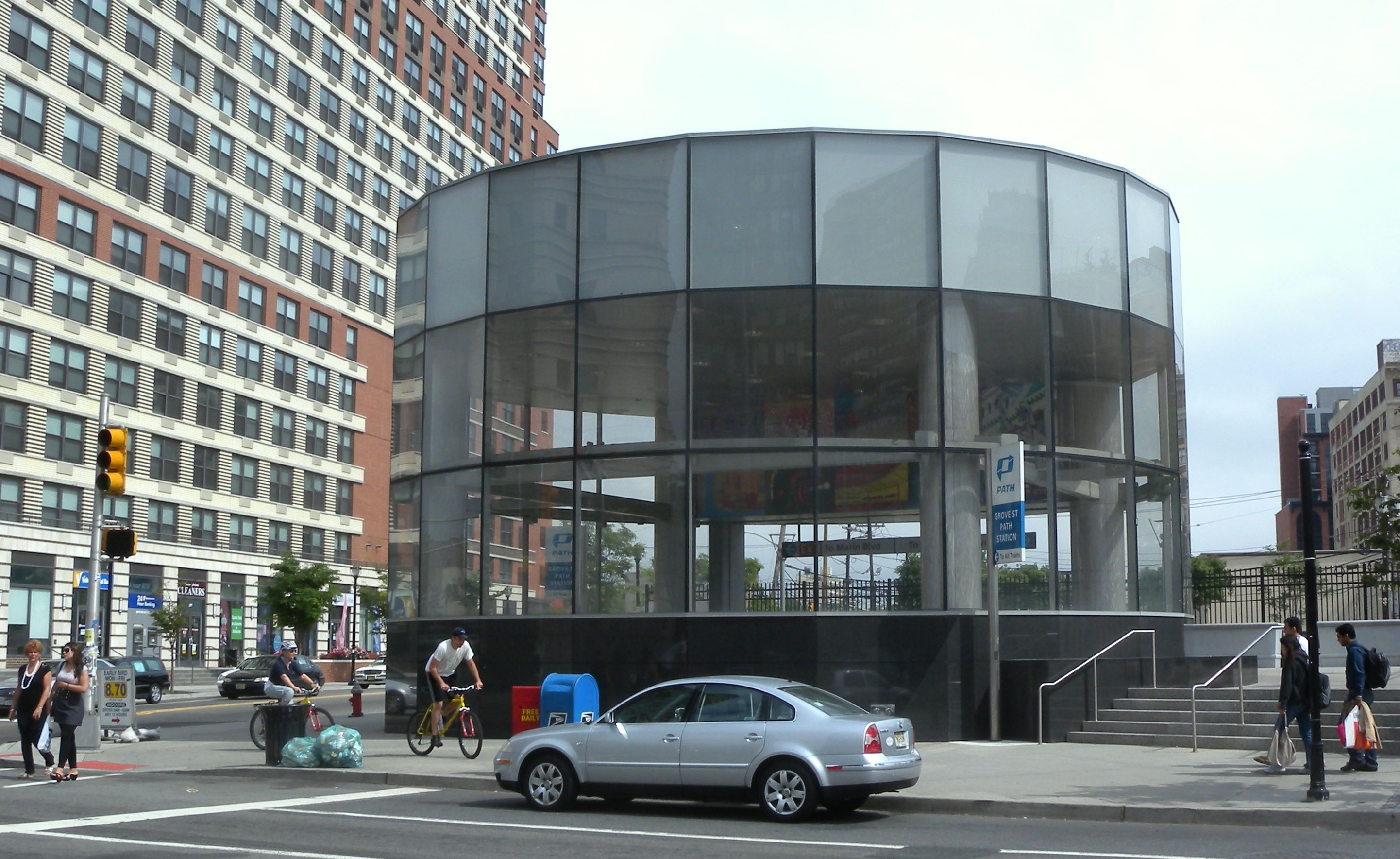
Montgomery & Westside IBOAPlatforms 1 island platform Tracks 2 Parking Parking lots and garages adjacent to station Other information Opened 1910 Rebuilt 2003 Owned by Port Authority of New York and New Jersey Services Preceding station PATH Following station Regular service Journal Squaretoward NewarkNWK–WTC toward World Trade CenterJournal SquareTerminusJSQ–33 toward 33rd StreetNights and weekends Journal Squaretoward NewarkNWK–WTC toward World Trade CenterJournal SquareTerminusJSQ–33 (via HOB) toward 33rd StreetGrove Street is a PATH station at the junction of Grove Street, Newark Avenue and Railroad Avenue in Jersey City, New Jersey. Opened on September 6, 1910 as Grove-Henderson Streets station, it is situated in the heart of Jersey City's historic downtown district. The station is served by the Newark-World Trade Center and Journal Square-33rd Street trains.
Contents
Layout
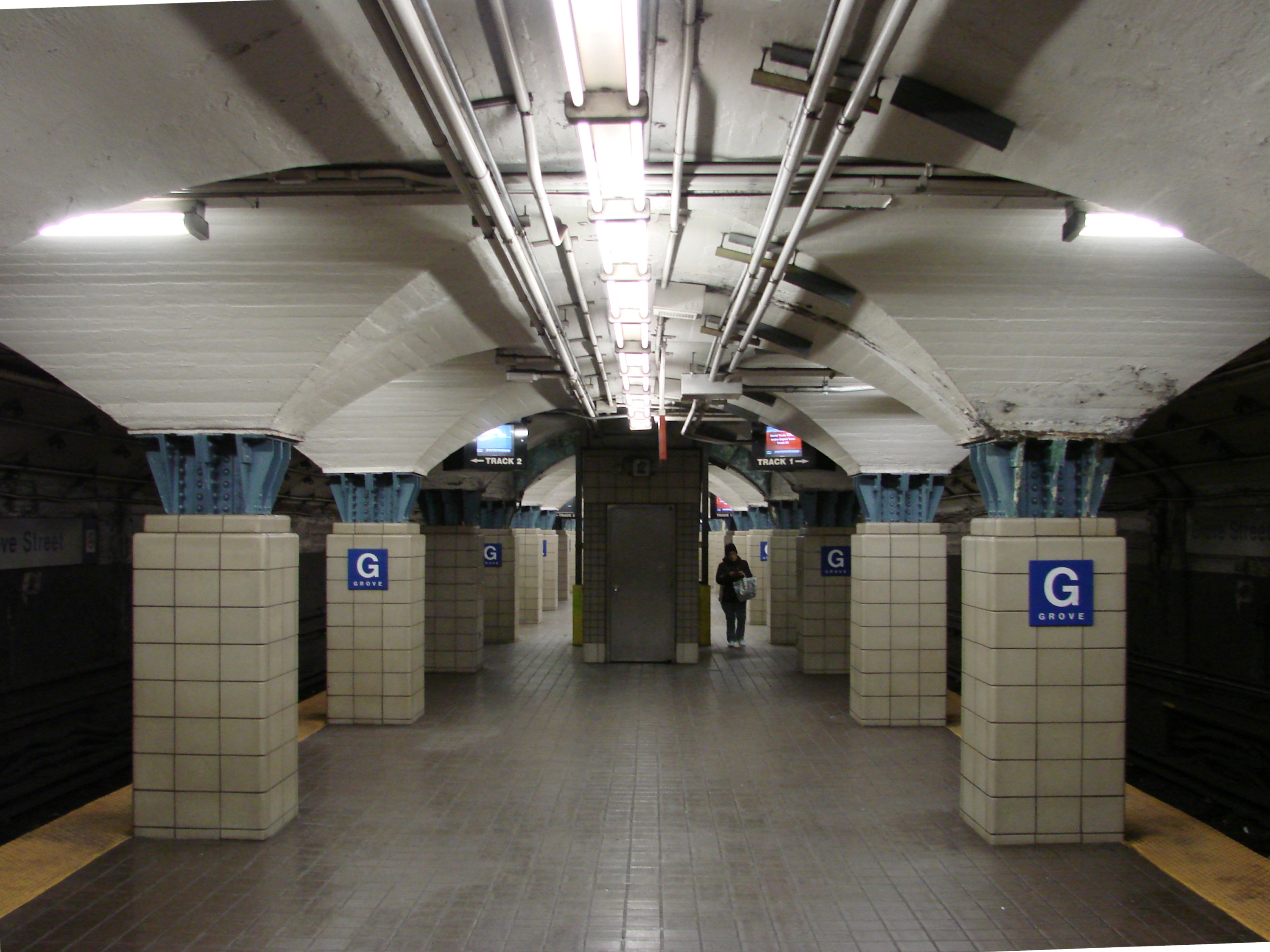
Originally the station was accessible at either end. The western stair led to the intersection of Grove Street and Newark Avenue and a simple kiosk underneath the Pennsylvania Railroad's mainline viaduct, which ran above what is now Christopher Columbus Drive. The station's easterly end exited to Henderson Street (now Marín Boulevard). The railroad viaduct was taken down in the late 1960s, and the station was reconfigured in the 1970s. As part of the reconstruction, the eastern and western exits were closed in favor of a mezzanine situated in a triangle formed by the intersections of Grove Street, Newark Avenue, and Columbus Drive. Two stairways from the platform level connect to the mezzanine, with fare turnstiles at the top of each stairway. Two exits lead to street level; one, with escalators, leads to the station's primary kiosk, while the other is a stairway that leads to the south side of Columbus Drive.
As a result of an increase in ridership, the Port Authority of New York and New Jersey (PANYNJ) reopened the easterly exit and built a second kiosk at the corner of Columbus Drive and Marín Boulevard. Despite the fact that construction eastern entrance/exit of took place between 2003-2005, the station was not made compliant with the Americans with Disabilities Act of 1990.[1] In September 2011 a federal judge found that it was technically feasible to do so and ordered the PANYNJ provide handicapped-access. .[2][3]
The intersection is a busy stop for buses, most of which head west and south.
Image gallery
-

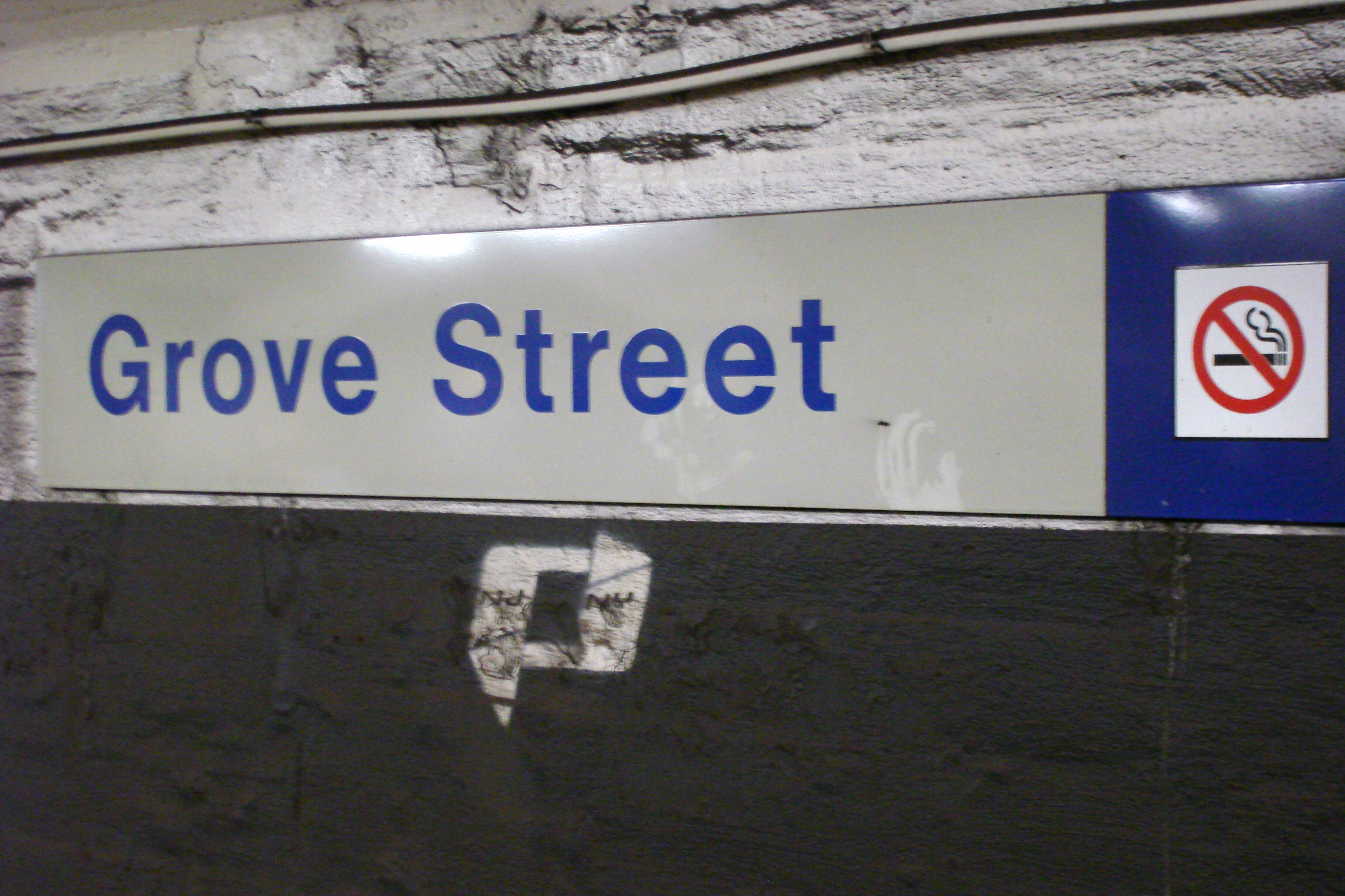
Station name plaque
-

Eastern (Marin) entrance
-

Kiosk at western entrance
References
- ^ http://www.jerseycityindependent.com/2009/12/04/advocates-path-station-is-in-violation-of-americans-with-disabilities-act/
- ^ MacDonald, Terrence (September 8, 2011), "Federal judge orders Port Authority to make Grove Street PATH station handicapped-accessible", The Jersey Journal, http://www.nj.com/hudson/index.ssf/2011/09/federal_judge_orders_port_auth.html
- ^ "United Spinal Association Secures Judgment Ordering Port Authority to Make PATH Train Station Accessible to Wheelchair Users" (Press release). United Spinal Association. September 9, 2011. http://www.reuters.com/article/2011/09/08/idUS191510+08-Sep-2011+PRN20110908. Retrieved 2011-09-09.
External links
 Media related to Grove Street (PATH station) at Wikimedia Commons
- PATH - Grove Street
- Grove Street entrance from Google Maps Street View
- Marin Boulevard entrance from Google Maps Street View
Port Authority Trans-Hudson (PATH) Services HOB–33 · HOB–WTC · JSQ–33 · JSQ–33 (via HOB) · NWK–WTC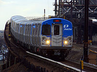
Stations 9th Street · 14th Street · 23rd Street · 33rd Street · Christopher Street · Exchange Place · Grove Street · Harrison · Hoboken · Journal Square · Newark · Newport · World Trade CenterInfrastructure Downtown Hudson Tubes · Hudson and Manhattan Railroad Powerhouse · Uptown Hudson Tubes · PATH Lift BridgeMiscellaneous Categories:- PATH stations in New Jersey
- Transportation in Jersey City, New Jersey
- Railway stations opened in 1910
-


Wikimedia Foundation. 2010.