- Sabana-Camagüey Archipelago
Location map |Cuba1
lon_dir = W
lat_dir = N
lat_deg = 23
lat_min = 04
lat_sec = 00
lon_deg = 80
lon_min = 09
lon_sec = 00
position = none
float = right
width = 300
caption=Location of Sabana-Camagüey Archipelago inCuba
Alternative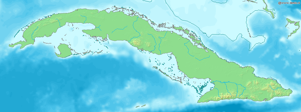
Sabana-Camagüey ( _es. Archipiélago de Sabana-Camagüey ) is an
archipelago that linesCuba 's north-central Atlantic coast. It is located off the northern coast of the provinces of Matanzas, Villa Clara, Sancti Spíritus, Ciego de Ávila and Camagüey, and is bounded to the north by theAtlantic Ocean , specifically by theNicholas Channel (Sabana segment) and Old Bahams Channel (Camagüey segment).The archipelago is developed on a general north-east to south-west direction, and stretches for km to mi|475|abbr=yes from the
Hicacos Peninsula and Varadero to the Bay of Nuevitas.Cite web|url=http://www.mappinginteractivo.com/plantilla-ante.asp?id_articulo=874|title=Mangroves variability in the Sabana-Camaguay Archipellago|author=Mapping Interactivo|year=2005|month=March|accessdate=2007-10-16] The entire system covers more than km2 to mi2|75000|abbr=yes and is composed of approximately 2,517cay s and isles. The western islands are grouped in theJardines del Rey archipelago, and containsCayo Coco ,Cayo Guillermo andCayo Romano among others.Conservation
The coastal and
marine ecosystem represented by the archipelago is undergoing conservation projects supported by theGlobal Environment Facility andEnvironment Canada .Cite web|url=http://www.medioambiente.cu/scamaguey/home/default.asp| title=Sabana-Camaguey Project|author=Environment Cuba|accessdate=2007-10-13 Es icon]Mangrove s and coastal forests effectively create a buffer zone between the agricultural coast and the sensitive marine environment.Cite web|url=http://www.radiohc.cu/espanol/medioambiente/exclusivas/sabanacamaguey.htm |title= El ecosistema Sabana Camaguey |author=Radio Habana |accessdate=2007-10-13 Es icon] The Sabana-Camagüey ecosystem encompasses theBay of Buena Vista Biosphere Reserve , theCaguanes National Park , as well as wetlands of northernCiego de Ávila Province . A total of 35 protected sites are located here.List of cays
abana section
*Cayo Piedras
*Cayo Cruz del Padre
*Cayo Blanco
*Cayo Cinco Leguas
*Cayo Ingles
*Cayo Falcones
*Cayo Megano
*Cayo Blanquizal
*Cayo Sotaviento
*Cayo Verde
*Cayo Hicacal
*Cayo La Vela
*Cayos de Pajonal
*Cayo FragosoCamagüey section
*Cayo Frances
*Cayo Santa Maria
*Cayo Caiman Grande
*Jardines del Rey
**Cayo Guillermo
**Cayo Coco
**Cayo Judas
**Cayo Romano
**Cayo Paredon Grande
**Cayo Megano Grande
**Cayo Eusebio
**Cayo Cruz
**Cayo Guajaba
**Cayo Sabinal ee also
*
Geography of Cuba References
----
Wikimedia Foundation. 2010.