- Berkley, Michigan
Infobox Settlement
official_name = Berkley, Michigan
other_name =
native_name =
nickname =
motto =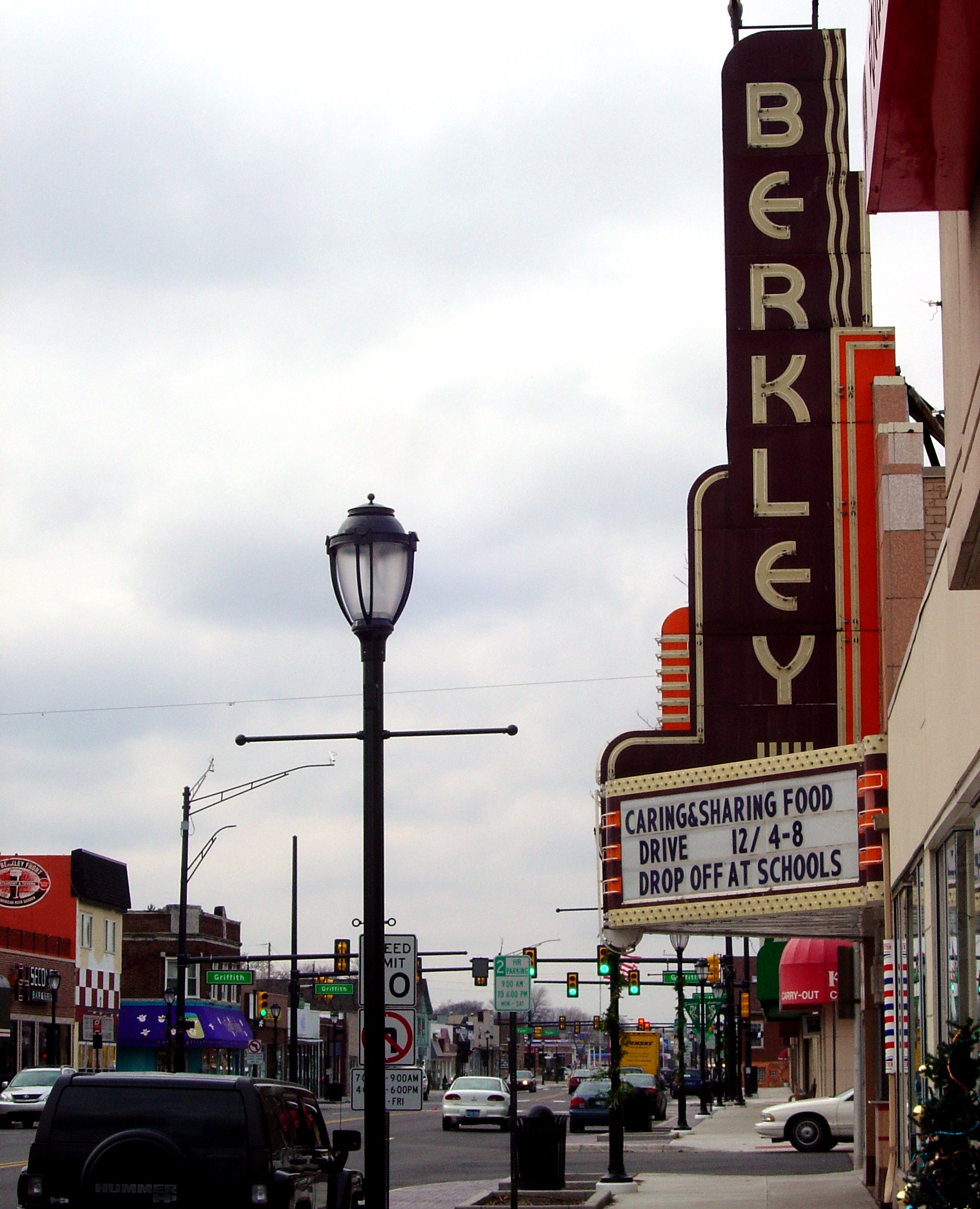
imagesize =
image_caption = Downtown Berkley
flag_size =
image_
seal_size =
image_shield =
shield_size =
image_blank_emblem =
blank_emblem_size =
flag_size =
image_
seal_size =
image_shield =
shield_size =
image_blank_emblem =
blank_emblem_size =
mapsize = 250x200px
map_caption = Location in the state ofMichigan
mapsize1 =
map_caption1 =
subdivision_type = Country
subdivision_type1 = State
subdivision_type2 = County
subdivision_name =United States
subdivision_name1 =Michigan
subdivision_name2 = Oakland
subdivision_type3 =
subdivision_name3 =
subdivision_type4 =
subdivision_name4 =
government_footnotes = [ [http://www.infomi.com/city/berkley/gov.html CITY GOVERNMENT - Berkley, Michigan ] ] [ [http://www.berkleymich.org/web/officials.asp City of Berkley, Michigan ] ]
government_type =
leader_title =
leader_name =
leader_title1 =Mayor
leader_name2 = Marilyn Stephan
leader_title2 =Manager
leader_name2 = Jane Bais-Disessa
established_title = Incorporated
established_date = 1923 (village)
established_title2 =
established_date2 = 1932 (city)
established_title3 =
established_date3 =
unit_pref = Imperial
area_footnotes =area_magnitude =
area_total_km2 = 6.8
area_total_sq_mi = 2.6
area_land_km2 = 6.8
area_land_sq_mi = 2.6
area_water_km2 = 0.0
area_water_sq_mi = 0.0
area_water_percent =
area_urban_km2 =
area_urban_sq_mi =
area_metro_km2 =
area_metro_sq_mi =
population_footnotes = [http://factfinder.census.gov/servlet/SAFFFacts?_event=&geo_id=86000US48072&_geoContext=01000US%7C86000US48072&_street=&_county=&_cityTown=&_state=&_zip=48072&_lang=en&_sse=on&ActiveGeoDiv=&_useEV=&pctxt=fph&pgsl=860&_submenuId=factsheet_1&ds_name=null&_ci_nbr=null&qr_name=null®=null%3Anull&_keyword=&_industry=&show_2003_tab=&redirect=Y Fact finder US Census] ]
population_as_of = 2000
population_note =
settlement_type =City
population_total = 15,531
population_density_km2 = 2288.8
population_density_sq_mi = 5925.5
population_metro =
population_density_metro_km2 =
population_density_metro_sq_mi =
population_urban =
population_density_urban_km2 =
population_density_urban_sq_mi =
timezone = EST
utc_offset = -5
timezone_DST = EDT
utc_offset_DST = -4
latd = 42 |latm = 30 |lats = 11 |latNS = N
longd = 83 |longm = 11 |longs = 01 |longEW = W
elevation_footnotes =
elevation_m = 209
elevation_ft = 686
postal_code_type = ZIP code
postal_code = 48072
area_code = 248
website = http://www.berkleymich.org
blank_name = FIPS code
blank_info = 26-07660GR|2
blank1_name = GNIS feature ID
blank1_info = 0621157GR|3
footnotes =Berkley is a city in Oakland County of the
U.S. state ofMichigan . It is asuburb of Detroit. As of the 2000 census, the total population was 15,531.Berkley's downtown area stretches along 12 Mile Road between Greenfield Road and Coolidge Highway, and along Coolidge Highway between 12 Mile Road and 11 Mile Road. Berkley's town offices and public safety headquarters are located on 12 Mile Road just east of Coolidge Highway. The Berkley Parks and Recreation department is located on Catalpa Drive, just east of Anderson Middle School. This includes the tennis courts, ice arena, baseball diamonds, and a park.
Since Berkley's eastern border is formed by
Woodward Avenue , the city is an active participant in the annualWoodward Dream Cruise , a popularclassic car showcase in theMetro Detroit area.There are many churches, of a variety of denominations, in Berkley. The largest is the
Roman Catholic church of Our Lady ofLa Salette and the novitiate for the Chicago and Detroit provinces of the Society of Jesus (Jesuits), Loyola House, is located in Berkley as well.Demographics
As of the
census GR|2 of 2000, there were 15,531 people, 6,678 households, and 4,020 families residing in the city. Thepopulation density was 5,925.5 per square mile (2,288.8/km²). There were 6,833 housing units at an average density of 2,607.0 per square mile (1,007.0/km²). The racial makeup of the city was 96.09% White, 0.70% African American, 0.24% Native American, 1.03% Asian, 0.01% Pacific Islander, 0.40% from other races, and 1.53% from two or more races. Hispanic or Latino of any race were 1.31% of the population.There were 6,678 households out of which 27.7% had children under the age of 18 living with them, 48.1% were married couples living together, 9.2% had a female householder with no husband present, and 39.8% were non-families. 32.5% of all households were made up of individuals and 11.3% had someone living alone who was 65 years of age or older. The average household size was 2.32 and the average family size was 3.01.
In the city the population was spread out with 22.8% under the age of 18, 6.4% from 18 to 24, 38.2% from 25 to 44, 19.7% from 45 to 64, and 12.9% who were 65 years of age or older. The median age was 36 years. For every 100 females there were 93.1 males. For every 100 females age 18 and over, there were 88.8 males.
The median income for a household in the city was $57,620, and the median income for a family was $66,968. Males had a median income of $50,276 versus $36,624 for females. The
per capita income for the city was $27,504. About 2.5% of families and 3.6% of the population were below thepoverty line , including 4.0% of those under age 18 and 3.8% of those age 65 or over.chools
The Berkley School District operates in all of Berkley, all of Huntington Woods, and the north section of Oak Park. The school district includes four elementary schools (Rogers, Burton, Pattengill, and Angell), one Kindergarten-8th grade school (Norup International), one middle school (Anderson), and one high school (
Berkley High School ). Berkley High School has been named by Newsweek to its 2008 list of "top high schools" and ranked among the top six in the state. Norup became an International Baccalaureate Candidate school this year implementing thePrimary Years Programme (PYP) andMiddle Years Programme (MYP) for all students. Norup International is working towards becoming an authorized IB World School in the 2008-2009 school year.A former elementary school, Avery, was converted into the school district office and is now known as Avery Center. Avery is one of three campuses (with Tyndall and Magnolia) housing the Berkley School District's Building Blocks program for infants through pre-school. The program is nationally accredited, one of among only 8% accredited centers in the country.
There is also a Roman Catholic school named Our Lady of LaSalette. The school is a 3 year old preschool through 8th grade facility and has impressive sports teams. The Varsity A (mostly eighth grade) basketball team recently won the Catholic Youth Organization (CYO) championship. Amazingly, 10 boys from the school were on the team, and there are only 22 kids total (including girls) in the entire eighth grade at LaSalette. The team also had two parishioners, or people that do not go to the school but are active members in the church parish. There are 200 kids in the school, including the two pre-school classes and kindergarten.
External links
* [http://www.berkleymich.org/ City of Berkley]
* [http://www.berkleydda.com/ Berkley Downtown Development Authority]
* [http://www.berkley.k12.mi.us/ Berkley School District]
* [http://www.berkleychamber.com/ Berkley Chamber of Commerce]
* [http://www.berkleyhomeshow.com/ Berkley Home Improvement Expo]References
Wikimedia Foundation. 2010.