Tumut, New South Wales

Tumut, New South Wales

Infobox Australian Place | type = town
name = Tumut
state = nsw


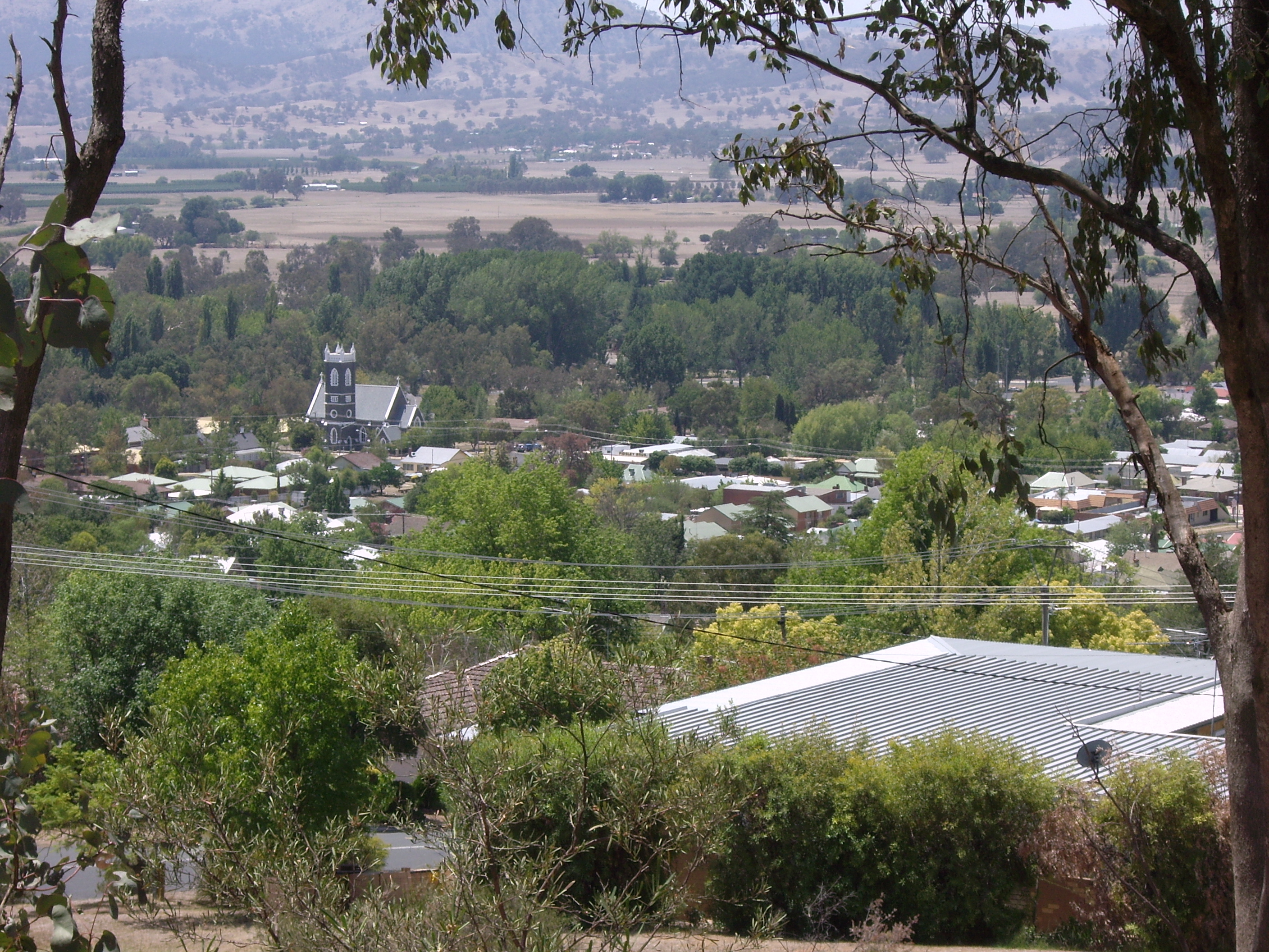
caption = Tumut from the Rotary lookout
lga = Tumut Shire
postcode = 2720
pop = formatnum:5925
pop_footnotes = census 2006 AUS|id=UCL176400|name=Tumut (Urban Centre/Locality)|accessdate=2008-03-31|quick=on]
est =
elevation= 305.0
maxtemp = 21
mintemp = 6.6
rainfall = 907.2
county = Wynyard
fedgov =Eden-Monaro
stategov =Wagga Wagga
dist1 = 411
location1= Sydney
dir1 = SW
dist2 = 525
location2= Melbourne
dir2 = NE
dist3 = 81
location3= Canberra
dir3 = W

Tumut is a town in the Riverina region of New South Wales, Australia, situated on the banks of the Tumut River. Tumut is at the foothills of the Snowy Mountains and is referred to as the gateway to the Snowy Mountains Scheme. Tumut Shire Council is administered from offices located in Tumut.

Tumut is home to a number of historic buildings. The most notable building is the Anglican Church, designed by Edmund Blacket.

Tumut (originally 'Dumot'), is claimed to be an Aboriginal name for "Resting Place by the River".

Tumut is approximately 411 km south-west of Sydney and 525 km north-east of Melbourne. [cite web
url=http://maps.google.com.au/maps?f=d&hl=en&geocode=&saddr=Sydney,+NSW&daddr=tumut&mra=cc&sll=-34.58206,149.652555&sspn=2.464742,6.020508&ie=UTF8&ll=-34.606085,149.661255&spn=2.464072,6.020508&z=8
title=Sydney-Tumut
accessdate=2008-03-31
work=Google Maps
year=2008
] [cite web
url=http://maps.google.com.au/maps?f=d&hl=en&geocode=&saddr=melbourne&daddr=tumut&mra=cc&sll=-36.496485,146.55623&sspn=4.812715,12.041016&ie=UTF8&z=7
title=Melbourne-Tumut
accessdate=2008-03-31
work=Google Maps
year=2008
] Tumut is notable for being one of the ten areas short-listed in 1908 as a site for the Australian Capital Territory. Other locations that were short-listed include Albury, Armidale, Bombala, Dalgety, Lake George, Orange, Tooma, Lyndhurst and Yass-Canberra. [ [http://www.bbc.co.uk/dna/h2g2/A2787564 BBC Canberra, Australian Capital Territory, Australia UPDATE] ]

Industry

Tumut is home to a number of timber mills along the Tumut to Adelong Road. The Visy pulp and paper mill is located near to the site of the original Court House from which sometime explorer Frederick Walker (1820-1886) set out on his policing expeditions in Northern NSW and Queensland in the 1850s.

References

External links

* [http://www.tumut.nsw.gov.au/ Tumut Shire Council]
* [http://www.walkabout.com.au/locations/NSWTumut.shtml Walkabout - Tumut]
* [http://www.smh.com.au/news/New-South-Wales/Tumut/2005/02/17/1108500199641.html SMH Travel Article about Tumut]
* [http://www.visy.com.au/pulpandpaper/?id=275 Visy's Tumut Pulp & Paper Mill]


Wikimedia Foundation. 2010.

Игры ⚽ Поможем написать реферат

Look at other dictionaries:

  • Tumut Power Station, New South Wales — Tumut Power station= Is a part of the Snowy Mountains Scheme of a number of hydroelectric power stations on the Tumut River in New South Wales, Australia.Tumut 1 Power StationTumut 1 has four turbines, with a generating capacity of 329.6MW of… …   Wikipedia

  • New South Wales 70 class locomotive — New South Wales 70 class 7002 makes its way towards the Inner Harbour at Port Kembla with an enthusiast special. Power type Diesel hydraulic Builder Commonwealth Engineering, Granville, N.S.W …   Wikipedia

  • Tumut and Kunama railway lines, New South Wales — The Tumut and Kunama railway lines are disused railway lines in the south of New South Wales, Australia. The Tumut line was a 104 km long branch of the Main South line, branching southwards from it at Cootamundra and heading to the town of Tumut …   Wikipedia

  • New South Wales Legislative Assembly electoral districts — The New South Wales Legislative Assembly is elected from 93 single member electorates called districts. Current districts This is a list of districts for the 2007 general election.* Albury * Auburn * Ballina * Balmain (1880 1894: Balmain; 1894… …   Wikipedia

  • Gundagai, New South Wales — Infobox Australian Place | type = town name = Gundagai state = nsw caption = The town and the Murrumbidgee floodplain in July 2005. The Hume Highway can be seen in the middle distance. lga = Gundagai Shire Council postcode = 2722 pop =… …   Wikipedia

  • Batlow, New South Wales — Infobox Australian Place | type = town name = Batlow state = nsw caption = Entering Balow lga = Tumut Shire postcode = 2730 pop = 1,369 (2001) elevation= 725 est = 1850s county = Wynyard stategov = Wagga Wagga fedgov = Eden Monaro dist1 = 438… …   Wikipedia

  • Adelong, New South Wales — Infobox Australian Place | type = town name = Adelong state = nsw caption = Main street lga = Tumut Shire postcode = 2729 pop = 829 mean rain days = 99.2 pop footnotes = est = 1840 elevation= 303 maxtemp = 21.9 mintemp = 6.7 rainfall = 788.1… …   Wikipedia

  • Cabramurra, New South Wales — Infobox Australian Place | type = town name = Cabramurra state = nsw caption = Cabramurra town, afternoon in summer, looking north from the lookout. lga = Tumut Shire postcode = 2629 est = 1954 pop = 60 pop footnotes= [census 2006… …   Wikipedia

  • Darbalara, New South Wales — Darbalara New South Wales Darbalara …   Wikipedia

  • Maude, New South Wales — Maude New South Wales Post office and general store …   Wikipedia

Share the article and excerpts

Direct link
Do a right-click on the link above
and select “Copy Link”