- Janjanbureh
Infobox Settlement
official_name =PAGENAME
other_name =
native_name =
nickname =
settlement_type =
motto =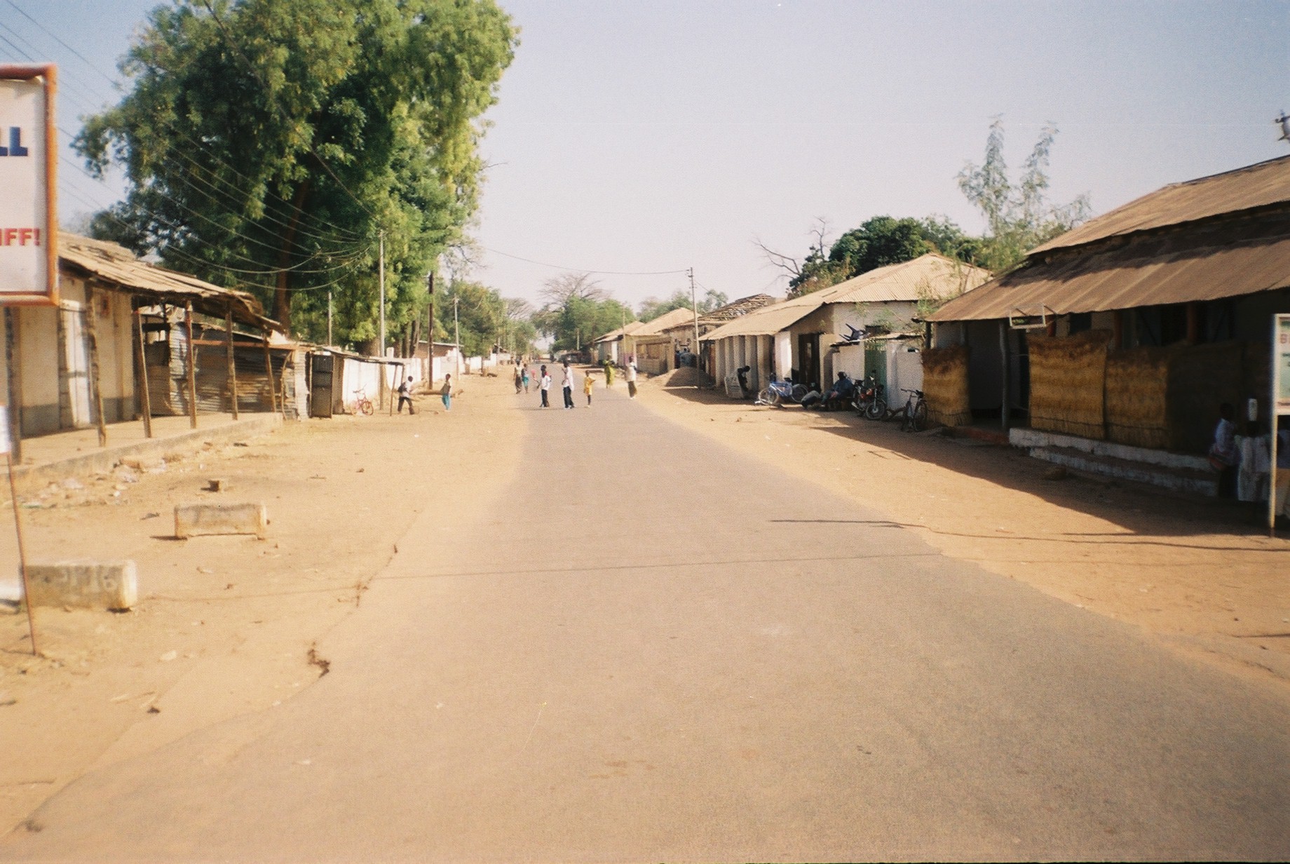
imagesize = 300px
image_caption =
flag_size =
image_
seal_size =
image_shield =
shield_size =
image_blank_emblem =
blank_emblem_type =
blank_emblem_size =
mapsize =
map_caption =
mapsize1 =
map_caption1 =
image_dot_
dot_mapsize =
dot_map_caption =
dot_x = |dot_y =
pushpin_
pushpin_label_position =bottom
pushpin_map_caption =Location in The Gambia
subdivision_type = Country
subdivision_name =The Gambia
subdivision_type1 = Division
subdivision_name1 =Central River Division
subdivision_type2 = District
subdivision_name2 =
subdivision_type3 =
subdivision_name3 =
subdivision_type4 =
subdivision_name4 =
government_footnotes =
government_type =
leader_title =
leader_name =
leader_title1 =
leader_name1 =
leader_title2 =
leader_name2 =
leader_title3 =
leader_name3 =
leader_title4 =
leader_name4 =
established_title =
established_date =
established_title2 =
established_date2 =
established_title3 =
established_date3 =
area_magnitude =
unit_pref =Imperial
area_footnotes =
area_total_km2 =
area_land_km2 =
area_water_km2 =
area_total_sq_mi =
area_land_sq_mi =
area_water_sq_mi =
area_water_percent =
area_urban_km2 =
area_urban_sq_mi =
area_metro_km2 =
area_metro_sq_mi =
area_blank1_title =
area_blank1_km2 =
area_blank1_sq_mi =
population_as_of =
population_footnotes =
population_note =
population_total =
population_density_km2 =
population_density_sq_mi =
population_metro =
population_density_metro_km2 =
population_density_metro_sq_mi =
population_urban =
population_density_urban_km2 =
population_density_urban_sq_mi =
population_blank1_title =Ethnicities
population_blank1 =
population_blank2_title =Religions
population_blank2 =
population_density_blank1_km2 =
population_density_blank1_sq_mi =
timezone =
utc_offset =
timezone_DST =
utc_offset_DST =
latd=13|latm=32|lats= |latNS=N
longd=16|longm=41|longs=|longEW=W
elevation_footnotes =
elevation_m =
elevation_ft =
postal_code_type =
postal_code =
area_code =
blank_name =
blank_info =
blank1_name =
blank1_info =
website =
footnotes =Janjanbureh or Jangjangbureh is a town, founded in
1832 , onJanjanbureh Island in theRiver Gambia in easternGambia . It was formerly known as Georgetown and was the second largest in the country. It is now the capital of theCentral River Division and is best known as home to Gambia's mainprison . TheWassu stone circles lie 22km northwest of Lamin Koto, on the north bank across from Janjanbureh.It is also noted for being the site of the first church in Gambia and the first high school, according to one expatriate who was born there. Fact|date=February 2007
The island is known locally as McCarthy Island, and is located in what used to be called McCarthy Island Division. The island is accessed by dedicated pull-ferry from the south bank, and small boat ferries or government ferry on the north bank.
Janjanbureh is also the name of the district in which the town of Janjanbureh is located.
Climate
External links
* [http://www.nrs.gm/slaverytrailrevision.htm Information from "Slavery Trade of the Gambia"]

Wikimedia Foundation. 2010.