- Crookwell, New South Wales
-
Crookwell
New South Wales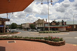
Crookwell
 Crookwell
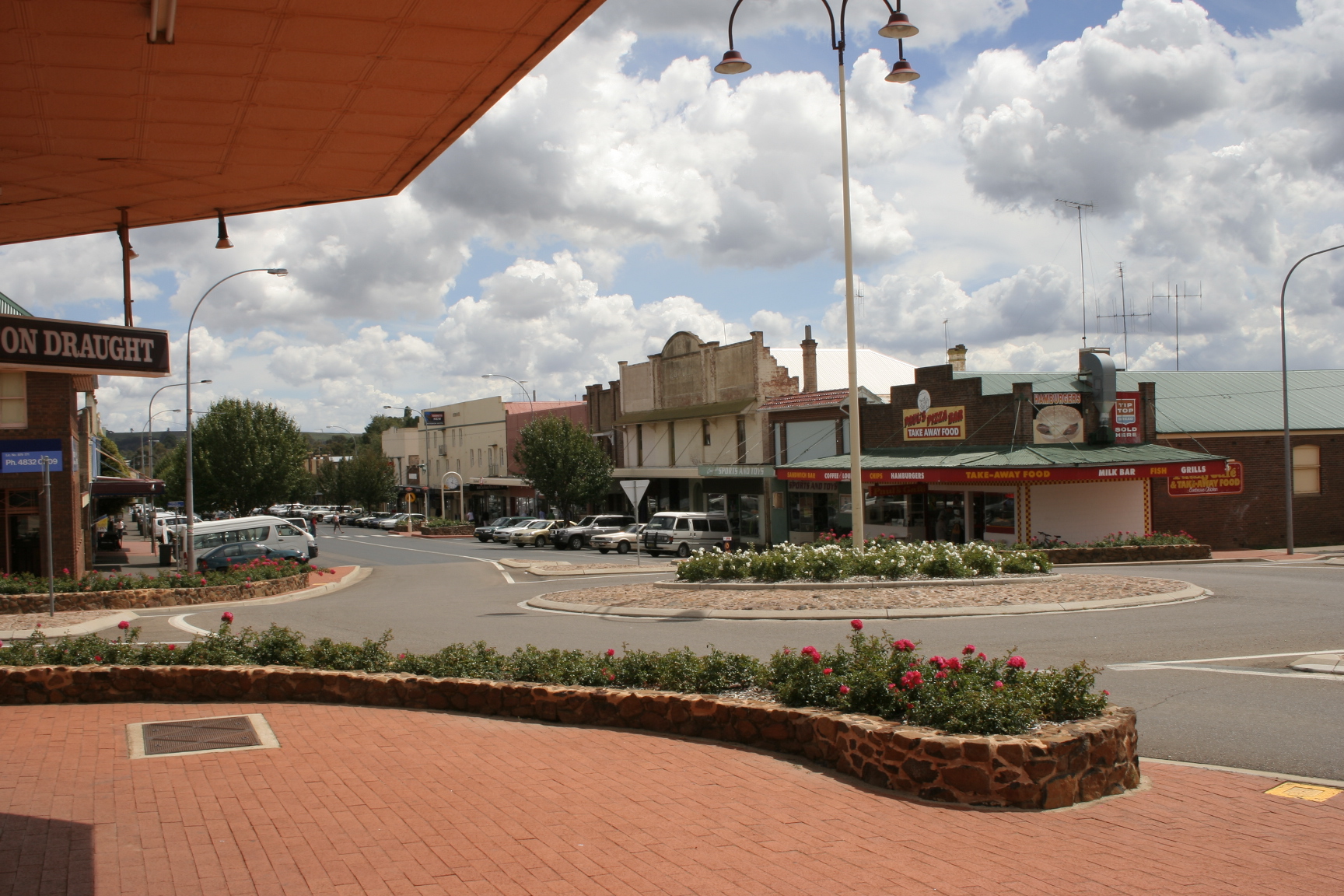
Population: 1,993[1] Postcode: 2583 Coordinates: 34°27′S 149°28′E / 34.45°S 149.467°ECoordinates: 34°27′S 149°28′E / 34.45°S 149.467°E LGA: Upper Lachlan Shire State District: Burrinjuck Federal Division: Hume Crookwell is a small town located in the Southern Tablelands of New South Wales, Australia, in the Upper Lachlan Shire. At the 2006 census, Crookwell had a population of 1,993 people.[1] The town is at a relatively high altitude in Australian terms (980 metres), and there are occasional snowfalls during the winter months. The nearest major centre is the city of Goulburn which is about a half hour drive to the south of the town. Crookwell is easily accessible to the state capital of Sydney and also the Federal capital of Canberra.
Most employment is based on rural industries, and the district is renowned for potato farming. Crookwell is also home to what was NSW's first wind farm, which consists of 8 turbines, and is located a few kilometres out of town on the road towards Goulburn.
A railway once connected Goulburn and Crookwell, which opened in 1902, but passenger services to Crookwell station ceased in 1974,[2][3] and the last goods train ran in 1985. The line is technically not closed, but has been listed as out of use, although in some locations is now impassable.
Contents
History
The area around Crookwell was first settled in the 1820s, and had received its current name by the 1860s. After this, selection of blocks occurred; and the population of was over 100 by midway through that decade. The first allotments were sold at the end of the decade. By the mid 1870s the population had already reached 1000 people.[4]
Governance
Crookwell is the seat of the Upper Lachlan Shire Council Local Government Area (LGA) of New South Wales, Australia, formed in 2004.
Transport
Crookwell is approximately 2.5 hours drive from Sydney via the Goulburn. Or a 1.5 hours drive from Canberra. Other than the main road to Goulburn, minor roads link Crookwell with Bathurst, Boorowa, Grabben Gullen, Laggan, and Taralga.
Crookwell railway station is the terminus of the now disused Crookwell railway line.
Crookwell has a small unpaved airstrip.
Media
Radio stations
Radio stations with transmitters located in Crookwell include-
- Triple J 91.7 FM (2JJJ)
- 2GN 106.1 FM (commercial)
- ABC Local Radio 106.9 FM (2ABCRR)
- ABC Radio National 107.7 FM (2ABCRN)
Depending on location some Goulburn, Illawarra, and/or Canberra based radio stations can also heard.
Television
Crookwell has a low powered transmitter broadcasting ABC Television in analog only, located on Wades Hill. This is expected to be upgraded to digital before the analog turn-off at the end of 2013.
Residents wishing to receive a wider range of channels and in digital can attempt to receive signals from either Canberra (Black Mountain), or Orange (Mount Canobolas), although Crookwell is located in the fringe area of both transmitters.
Another option is to use the VAST free-to-air satellite service, which offers a similar range of channels.
References
- ^ a b Australian Bureau of Statistics (25 October 2007). "Crookwell (Urban Centre/Locality)". 2006 Census QuickStats. http://www.censusdata.abs.gov.au/ABSNavigation/prenav/LocationSearch?collection=Census&period=2006&areacode=UCL123600&producttype=QuickStats&breadcrumb=PL&action=401. Retrieved 14 July 2009.
- ^ Scrymgeour, R. A History of the Goulburn- Crookwell Line. Australian Railway Historical Society Bulletin. Vol 48, no 721. November 1997.
- ^ Crookwell station. NSWrail.net, accessed 21 August 2009.
- ^ A Snapshot of Crookwell's History. Upper Lachlan Shire Council, accessed 20 September 2011.
See also
Photo gallery
- Crookwell Images
-

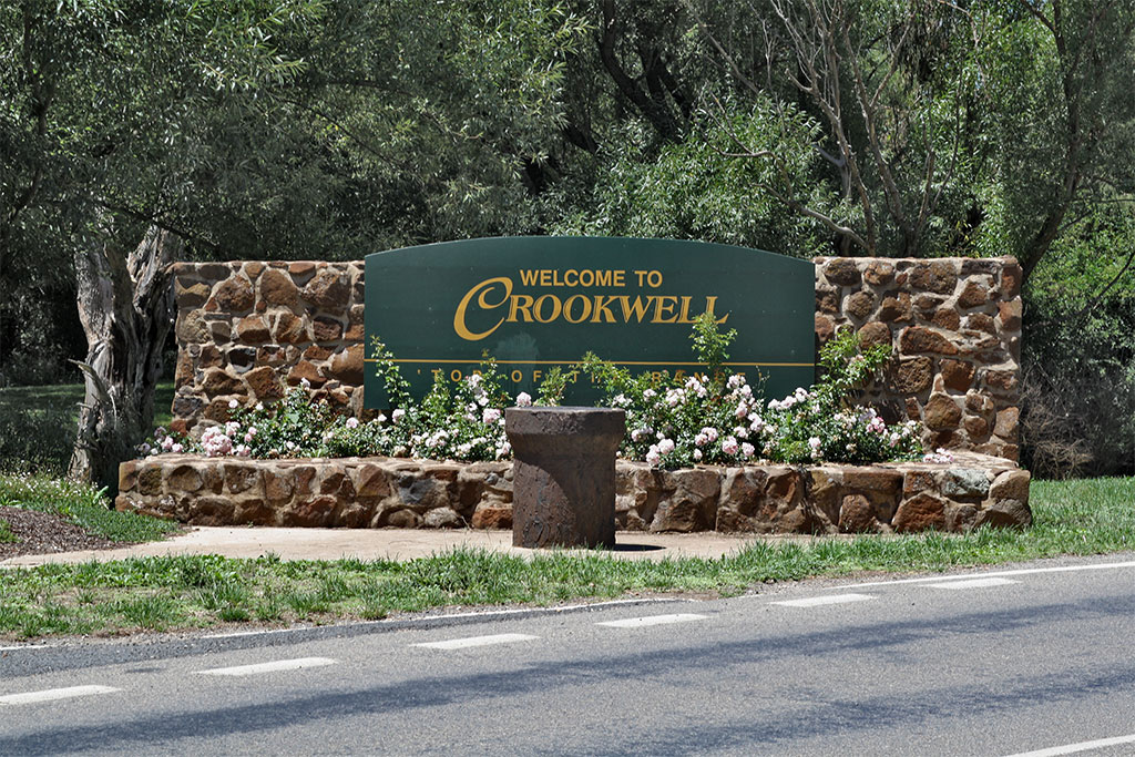
Town entry sign -

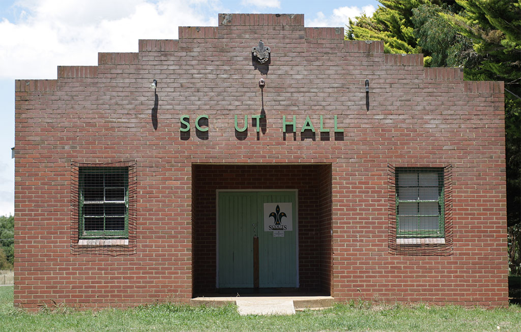
Scout Hall -

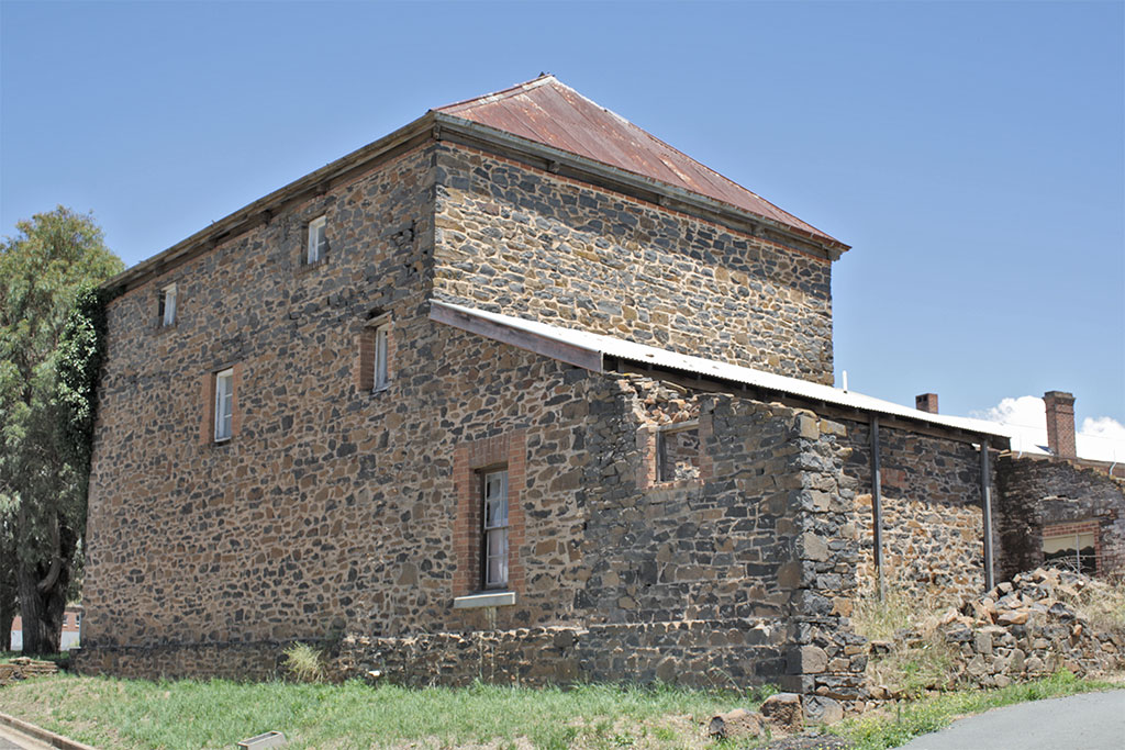
Bluestone building -
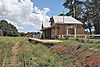
Disused railway station -

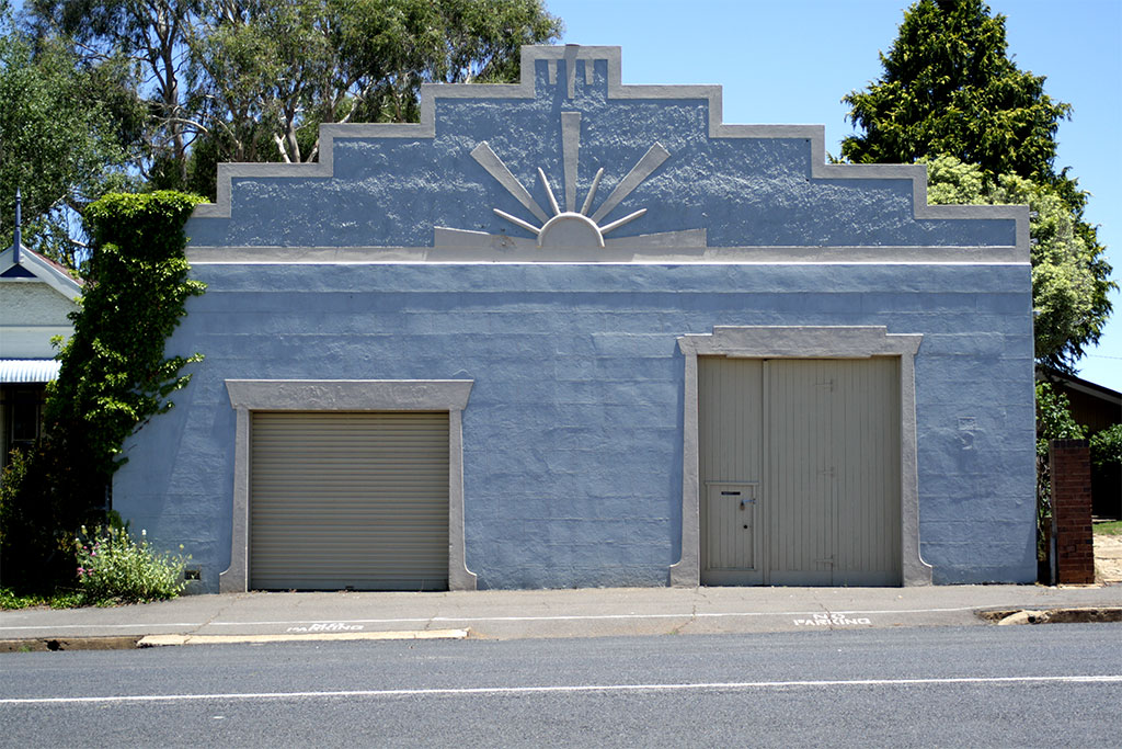
Sunburst façade -

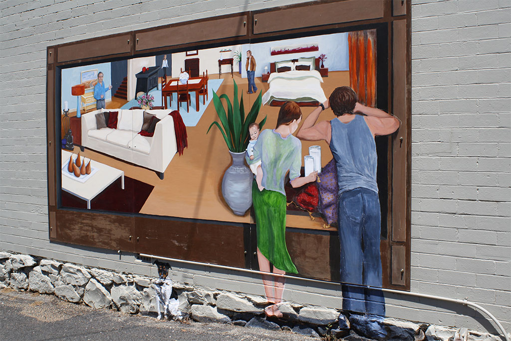
Trompe l'oeil on shop wall
The Southern Tablelands · New South Wales · Australia LGAs Goulburn-Mulwaree · Upper Lachlan · Palerang · Queanbeyan · Yass Valley · Boorowa
Main towns Goulburn · Queanbeyan · Yass · Boorowa · Braidwood · Bungendore · Crookwell · Gunning · Marulan · Murrumbateman
Villages and
small townsAraluen · Bannaby · Bigga · Binalong · Binda · Bookham · Bowning · Breadalbane · Bungonia · Burra · Burrinjuck · Bywong · Captains Flat · Carwoola · Crestwood · Cullerin · Dalton · Environa · Frogmore · Googong · Greenleigh · Gundaroo · Hoskinstown · Laggan · Lake Bathurst · Majors Creek · Mongarlowe · Nerriga · Reids Flat · Royalla · Rugby · Rye Park · Sutton · Tallong · Tarago · Taralga · The Ridgeway · Tirrannaville · Towrang · Tralee · Tuena · Wamboin · Wee Jasper · Windellama · Woolgarlo
Categories:- Towns in New South Wales


Wikimedia Foundation. 2010.