- Manning, Western Australia
-
Manning
Perth, Western Australia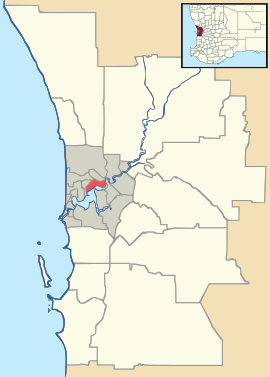
 Manning
Population: 3951 (2006 census)[1] Established: 1940s Postcode: 6152 LGA: City of South Perth State District: South Perth Federal Division: Swan Suburbs around Manning: Como Como Karawara Swan River Manning Waterford Swan River Salter Point Swan River Coordinates: 32°01′08″S 115°52′05″E / 32.019°S 115.868°E
Manning is a suburb of Perth, Western Australia.
The land was originally purchased by Henry Manning in 1856, with Manning's grandson, John Daniel Manning having a dairy farm in the area. The suburb became a State Housing Commission project in 1948, being named the Manning Estate during subdivision and Manning eventually becoming the official name of the area.[2]
Schools in Manning are Manning Primary School on Ley Street and Curtin Primary School (formerly Koonawarra Primary School) on Goss Avenue.
References
- ^ Australian Bureau of Statistics (25 October 2007). "Manning (State Suburb)". 2006 Census QuickStats. http://www.censusdata.abs.gov.au/ABSNavigation/prenav/LocationSearch?collection=Census&period=2006&areacode=SSC51886&producttype=QuickStats&breadcrumb=PL&action=401. Retrieved 2008-10-05.
- ^ Western Australian Land Information Authority. "History of metropolitan suburb names". http://www.landgate.wa.gov.au/corporate.nsf/web/History+of+metropolitan+suburb+names. Retrieved 2008-10-10.
Suburbs of the City of South Perth | Perth | Western Australia Como · Karawara · Kensington · Manning · Salter Point · South Perth · Waterford
Categories:- Suburbs of Perth, Western Australia
- Perth, Western Australia geography stubs

Wikimedia Foundation. 2010.