- Constance Lake First Nation
-
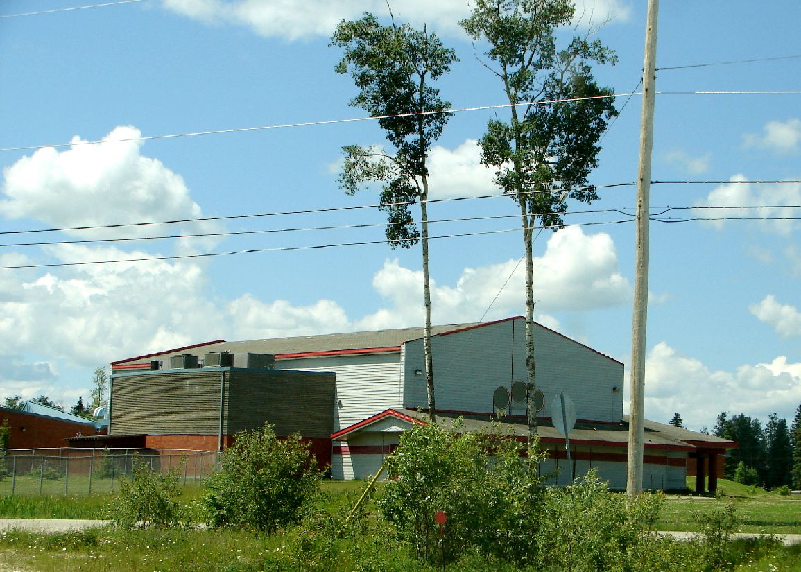
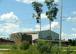 Constance Lake Community Building
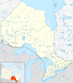
 Location of Constance Lake First Nation in Ontario
Constance Lake First Nation is an Oji-Cree First Nation in Cochrane District in northeastern Ontario, Canada,[1] directly north of the community of Calstock along a continuation of Ontario Highway 663.[2] In 2010, the First Nation had a total registered population of 1,477 people, of which the on-reserve population was 820.
Contents
Governance
The First Nation elects its leadership for a two-year term through the Act Electoral System. As of 2010[update], the leadership is held by chief Roger Wesley, together with six (6) councillors: Charlie Baxter, Sr., Allen Ferris, Darius Ferris, Beatrice Ineese, Ken Neegan and Fred Sackaney.[3]
As a signatory to Treaty 9, the First Nation is a member of Matawa First Nations, a Regional Chiefs' Council; the Regional Chiefs' Council, in turn, is a member of the Nishnawbe Aski Nation, a Tribal Political Organization representing many of the First Nations in Northern and Northwestern Ontario.
Reserves
Constance Lake First Nation have two reserves: the 3,110.5-hectare (7,686.2-acre) Constance Lake 92 Indian Reserve[4] and the 3,108-hectare (7,680-acre) English River 66 Indian Reserve,[5] of which Constance Lake 92 serves as the main reserve. The community has existed in this area since the early 1940s, when the reserve was first established.[6]
Services
Constance Lake is policed by the Nishnawbe-Aski Police Service, an Aboriginal based service.
References
- ^ "Constance Lake (Achikamii/Achikamaw)". Geographical Names Data Base. Natural Resources Canada. http://geonames.nrcan.gc.ca/search/unique_e.php?id=FIFNA&output=xml. Retrieved 2011-08-21.
- ^ Ministry of Transportation of Ontario (2010-01-01) (PDF). Map 14 (Map). 1 : 1,600,000. Official road map of Ontario. http://www.mto.gov.on.ca/english/traveller/map/images/pdf/northont/sheets/Map14.pdf. Retrieved 2011-08-21.
- ^ "Chief and Council". Constance Lake First Nation. 2010. http://www.clfn.on.ca/default.asp?pgid=25. Retrieved 2011-08-21.
- ^ "Constance Lake 92". Geographical Names Data Base. Natural Resources Canada. http://geonames.nrcan.gc.ca/search/unique_e.php?id=FESYE&output=xml. Retrieved 2011-08-20.
- ^ "English River 66". Geographical Names Data Base. Natural Resources Canada. http://geonames.nrcan.gc.ca/search/unique_e.php?id=FESYL&output=xml. Retrieved 2011-08-20.
- ^ "Our History". Constance Lake First Nation. 2010. http://www.clfn.on.ca/default.asp?pgid=6. Retrieved 2011-08-21.
External links
Nishnawbe Aski Nation Independent First Nations Alliance Keewaytinook Okimakanak Council Matawa First Nations Aroland • Constance Lake • Eabametoong • Ginoogaming • Hornepayne • Long Lake 58 • Marten Falls • Neskantaga • Nibinamik • Webequie
Mushkegowuk Council Attawapiskat • Chapleau Cree • Fort Albany • Kashechewan • Missanabie Cree • Moose Cree • Taykwa Tagamou • Weenusk
Shibogama First Nations Council Wabun Tribal Council Beaverhouse • Brunswick House • Chapleau Ojibway • Flying Post • Matachewan • Mattagami • Wahgoshig
Windigo First Nations Council Bearskin Lake • Cat Lake • Koocheching • North Caribou Lake (Weagamow Lake) • Sachigo Lake • Slate Falls • Whitewater
independent NAN communities Mishkeegogamang • Mocreebec Council • Sandy Lake
Categories:- Nishnawbe Aski Nation
- Communities in Cochrane District, Ontario
- Anishinaabe reserves in Ontario
- First Nations stubs
- Northern Ontario geography stubs

Wikimedia Foundation. 2010.