- Chuypetlovo
-
Coordinates: 42°31′N 23°15′E / 42.517°N 23.25°E
Chuypetlovo
ЧуйпетловоChuypetlovo and the upper Struma Valley Location of Chuypetlovo
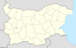
 Chuypetlovo
Coordinates: 42°31′N 23°15′E / 42.517°N 23.25°E Country  Bulgaria
Provinces
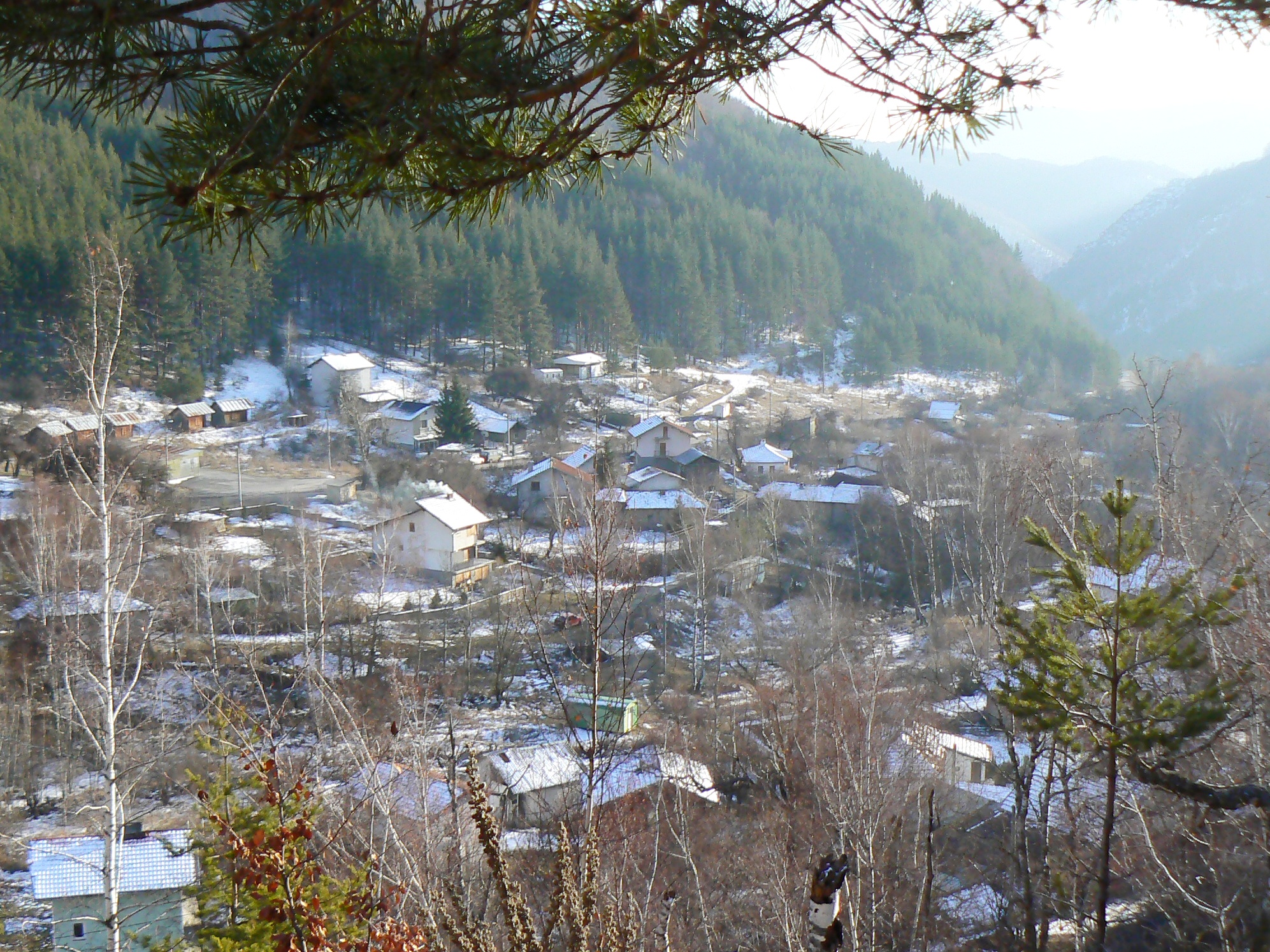
(Oblast)Pernik Government - Mayor Rositsa Ianakieva Elevation 1,436 m (4,711 ft) Population (2005) - Total 40 Time zone EET (UTC+2) - Summer (DST) EEST (UTC+3) Postal Code 2346 License plate B Chuypetlovo (Bulgarian: Чуйпетлово, "Hear the rooster") is a village in the Pernik municipality of Pernik Province, western Bulgaria. Its population is 57 as of January 2007.
Chuypetlovo is the only settlement in the interior of Vitosha Mountain, situated at elevation 1,225 m near the head of Struma River valley. Tourist tracks link the village to the Suho Ezero ("Dry Lake") site and Cherni Vrah to the north, Kupena ("Stack") Peak (2195 m) to the east, Yarlovo village to the southeast, Matnitsa River valley and Kladnitsa village to the northwest, and the pulsating spring of Zhiva Voda ("Live Water") to the west. The village is linked by bus service to Bosnek village and the city of Pernik.
Chuypetlovo was established around 1640, and its church of St. Petka was built in 1860. The legend holds it that the name of the village derived from its secluded location, with strangers only founding the settlement as they heard rooster's crow. The village was first mentioned as early as the 16th century, however: it is listed as ЧУИПЄТЄЛЬ in the Urvich Collection. Besides the popular etymology, another scientifically supported theory is that it is a derivation of the personal and family name of a certain Chuyo Petlov.[1]
References
Categories:- Bulgaria geography stubs
- Villages in Pernik Province
- Vitosha

Wikimedia Foundation. 2010.