- Mound Bottom
-
Mound Bottom
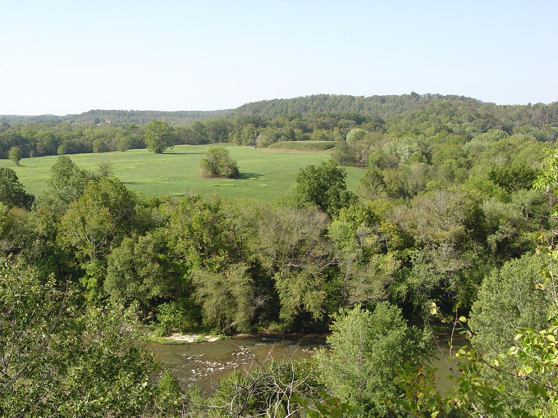
 View of the central plaza and platform mound at Mound Bottom
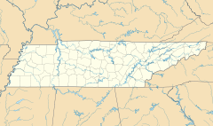

Location: Cheatham County, Tennessee Coordinates: 36°8′23.35″N 87°6′4.93″W / 36.1398194°N 87.1013694°WCoordinates: 36°8′23.35″N 87°6′4.93″W / 36.1398194°N 87.1013694°W Built: 950-1300 CE Governing body: TDEC NRHP Reference#: 71000813 Added to NRHP: 1971 Mound Bottom is a prehistoric Native American complex in Cheatham County, Tennessee, located in the Southeastern United States. The complex, which consists of platform and burial mounds, a central plaza, and habitation areas, was built between 950 and 1300 AD, during the Mississippian period.
The Mound Bottom site is often grouped with another mound complex located just over a mile to the south known as the Pack site, or Great Mound Division. Due to structural similarities, the builders of the Pack site mounds are believed to have been contemporaries of Mound Bottom's inhabitants.
Contents
Geographical setting
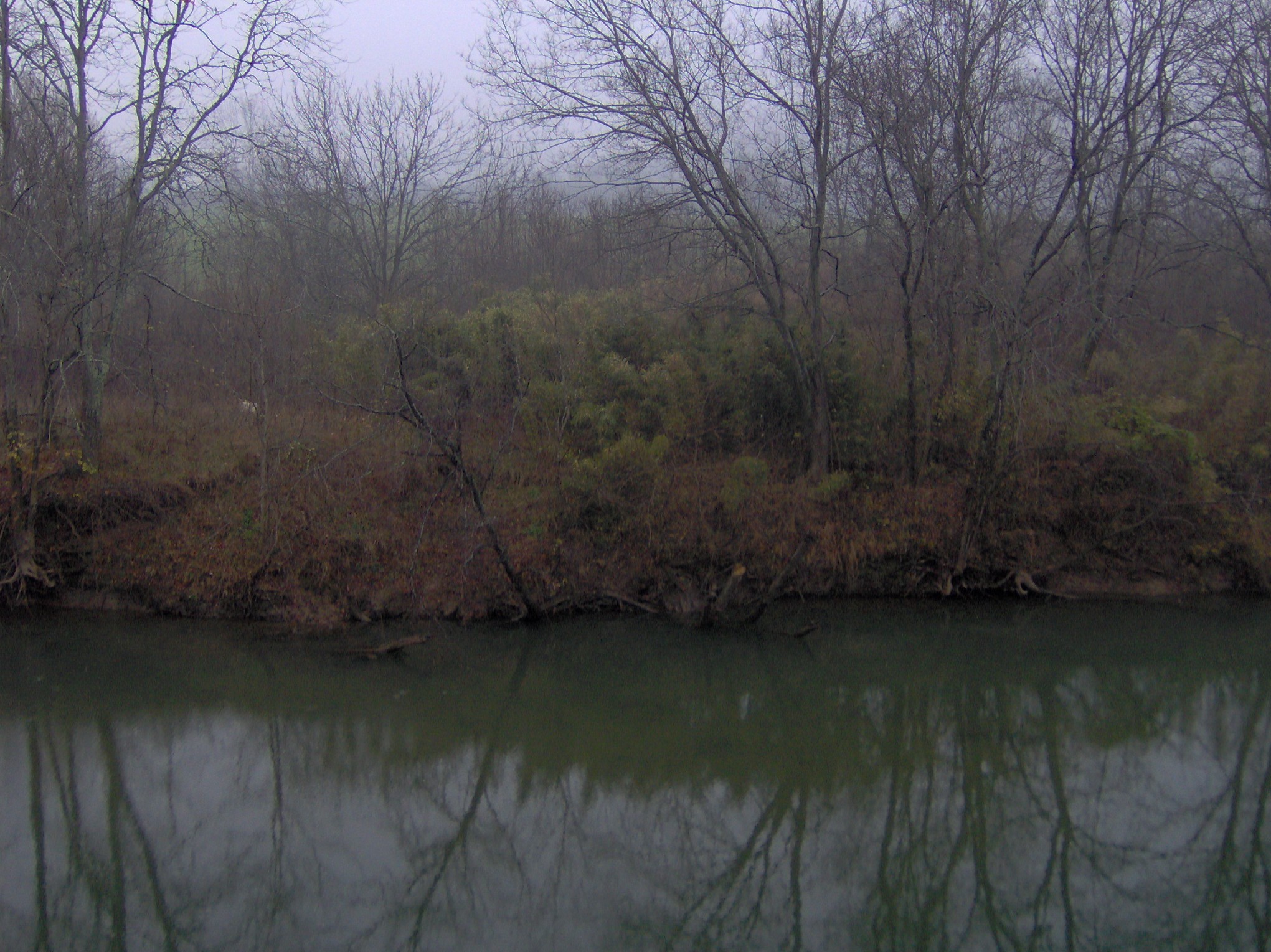
Mound Bottom is situated on a horseshoe bend of the Harpeth River at the river's confluence with Mound Creek, which approaches the riverbank opposite the site from the east. The Mound Bottom bend is one in a series of sharp bends found along the lower Harpeth as the river twists and turns through a steep gorge en route to its confluence with the Cumberland River several miles to the north. The Harpeth surrounds Mound Bottom on the north, south, and east, and sharp turns in the river immediately downstream and upstream from the site have nearly carved away the narrow strip of land to the west that connects the site to the mainland. (click for map)
Mound Bottom is located approximately 1-mile (1.6 km) north of the point where U.S. Route 70 crosses the Harpeth River, on the outskirts of Kingston Springs. The site is currently managed by the Tennessee Department of Environment and Conservation as part of Harpeth River State Park. The Pack site is located on private property approximately 1.5 miles (2.4 km) southwest of Mound Bottom just south of US-70.
Archaeological features at Mound Bottom
 The Mound Bottom site along the Harpeth River
In all, the Mound Bottom site and Pack site together contain 29 mounds known to be of prehistoric construction. Some of the mounds are flat-topped platform mounds that supported superstructures including ceremonial buildings or elite residences. Other mounds were burial mounds.[1] At Mound Bottom, the principal large flat-topped mound and at least 13 additional smaller mounds were scattered about a central plaza. The principal mound at Mound Bottom stands 25 feet (7.6 m) tall and 47 square feet (4.4 m2) in area at its base. The remains of an earthen ramp leading from the plaza to the top of this mound can still be seen. The entire complex, which is believed to have included hundreds of houses, was surrounded by an earthen wall topped with a palisade of upright logs.[2]
The function of Mound Bottom
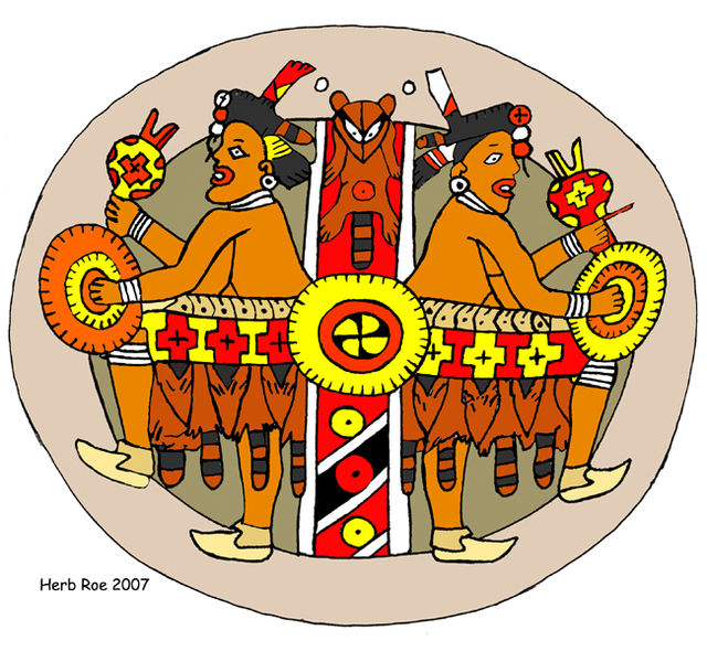
Like many Mississippian-era sites, Mound Bottom probably began as a ceremonial meeting place for scattered farms in the Harpeth Valley around 950 AD.[3] Over time, the site grew to become a fortified city with a population numbering in the thousands. Various exotic artifacts discovered at the site show that Mound Bottom was part of a vast trade network that extended to the Great Lakes, Gulf Coast, and the Appalachian Mountains.[3] Resource exhaustion and increased competition from other Mississippian-era sites throughout the Harpeth Valley and Central Basin were likely reasons for Mound Bottom's decline around 1300 AD.[4]
Mound Bottom in recorded history
 THC marker along Cedar Springs Road
Early Tennessee historian John Haywood noted Mound Bottom's importance as an aboriginal site in 1823, and early settlers reported seeing large fortifications and towers at the site. In the late 1860s, Joseph Jones of the Smithsonian Institution investigated several prehistoric sites in Tennessee, and reported "extraordinary aboriginal works" at Mound Bottom.[5][6]
In 1923, William E. Myer, also working with the Smithsonian, carried out the first modern investigation of the Mound Bottom site. Myer uncovered evidence of a structure and hearth atop one of the mounds at the Pack site and evidence of 10 ancient houses at Mound Bottom. Tennessee state archaeologist P.E. Cox followed up on Myer's finds in 1926, uncovering a number of burials and baked clay floors. In the 1930s and early 1940s, excavations conducted by the University of Tennessee uncovered several house sites, graves, and sections of the palisade.[7]
In 1972, the State of Tennessee purchased the Mound Bottom site to preserve it as a state archaeological area. The Tennessee Division of Archaeology dispatched Carl Kuttruff and Michael O'Brien to conduct major excavations at Mound Bottom in 1974 and 1975. Kutruff and O'Brien discovered another clay floor and excavated more of the palisade and a row of houses. A radiocarbon date showed that the Mound Bottom site was occupied as early as 800 AD[8]
Over the years, various movements to establish a state archaeological park at Mound Bottom arose and fizzled.[9] In 2004, Harpeth River State Park was organized as a "linear park" connecting several archaeological, historical, and natural areas along the lower Harpeth, including Mound Bottom. The site is closed to the public, although guided tours are available by request during the winter months.
See also
- List of Mississippian sites
References
- ^ Kevin Smith, "Mound Bottom." The Tennessee Encyclopedia of History and Culture, 2002. Retrieved: 7 December 2007.
- ^ Kevin Markuson, "Mound Bottom: Archaeological Treasures in Cheatham County." Tennessee Archaeology Net. Originally published in The Advocate vol. 8, no. 5 (31 January 1998). Retrieved: 7 December 2007.
- ^ a b Smith, "Mound Bottom." (2002).
- ^ Kevin Markuson, "The People of Mound Bottom: The Mississippian Culture." Tennessee Archaeology Net. Originally published in The Advocate vol. 8, no. 6 (7 February 1998). Retrieved: 7 December 2007.
- ^ Markuson, "Mound Bottom: Archaeological Treasures in Cheatham County." (31 January 1998).
- ^ James Crutchfield, The Harpeth River: A Biography (Johnson City, Tenn.: The Overmountain Press, 1972), 117.
- ^ Kevin Markuson, "Mound Bottom: Archaeological Investigations." Tennessee Archaeology Net. Originally published in The Advocate vol. 8, no. 7 (14 February 1998). Retrieved: 7 December 2007.
- ^ Markuson, "Mound Bottom: Archaeological Investigations." (14 February 1998).
- ^ Kevin Markuson, "Mound Bottom Preserved: Yesterday and Today." Tennessee Archaeology Net. Originally published in The Advocate vol. 8, no. 8 (21 February 1998). Retrieved: 7 December 2007.
External links
- Harpeth River State Park — official site, includes map
 Pre-Columbian North America
Archaeological cultures North American pre-Columbian chronology – Adena – Alachua – Ancient Pueblo (Anasazi) – Baytown – Belle Glade – Buttermilk Creek Complex – Caborn-Welborn – Calf Creek – Caloosahatchee – Clovis – Coles Creek – Deptford – Folsom – Fort Ancient – Fort Walton – Fremont – Glades – Glacial Kame – Hopewell (List of Hopewell sites) – Hohokam – Leon-Jefferson – Mississippian (List of Mississippian sites) – Mogollon – Monongahela – Old Cordilleran – Oneota – Paleo-Arctic – Paleo-Indians – Patayan – Plano – Plaquemine – Poverty Point – Prehistoric Southwest – Red Ocher – Santa Rosa-Swift Creek – St. Johns – Steed-Kisker – Tchefuncte – Tocobaga – Troyville
Archaeological sites Angel Mounds – Bandelier National Monument – The Bluff Point Stoneworks – Cahokia – Chaco Canyon – Casa Grande – Coso Rock Art District – Eaker – Effigy Mounds National Monument – Etowah Indian Mounds – Eva – Folsom Site – Fort Ancient – Fort Center – Gila Cliff Dwellings National Monument – Holly Bluff Site – Hopewell Culture National Historical Park – Kincaid Mounds – Kolomoki – Manitou Cliff Dwellings – Marksville – Meadowcroft Rockshelter – Mesa Verde – Moorehead Circle – Moundville – Mummy Cave – Nodena Site – Ocmulgee National Monument – Old Stone Fort – Parkin Park – Pinson Mounds – Portsmouth Earthworks – Poverty Point – Pueblo Bonito – Rock Eagle – Rock Hawk – Salmon Ruins – Serpent Mound – Spiro Mounds – SunWatch – Taos Pueblo – Toltec Mounds – Town Creek Indian Mound – Winterville
Miscellaneous Ballgame – Black drink – Buhl woman – Calumet – Chunkey – Clovis point – Container Revolution – Eastern Agricultural Complex – Eden point – Effigy mound – Falcon dancer – Folsom point – Green Corn Ceremony – Horned Serpent – Kennewick man – Kiva – Metallurgy – Mi'kmaq hieroglyphic writing – Medicine wheel – Mound builders – N.A.G.P.R.A. – Norse colonization of the Americas – Piasa – Pueblo dwellings – Southeastern Ceremonial Complex – Three Sisters agriculture – Thunderbird – Underwater panther
Related: Genetic history · Indigenous Portal of North America · Pre-Columbian era Categories:- Middle Mississippian culture
- Protected areas of Cheatham County, Tennessee
- Archaeological sites on the National Register of Historic Places in Tennessee


Wikimedia Foundation. 2010.