- Pittsburg, New Hampshire
Infobox Settlement
official_name = Pittsburg, New Hampshire
nickname =
motto =
image_
imagesize =
image_caption =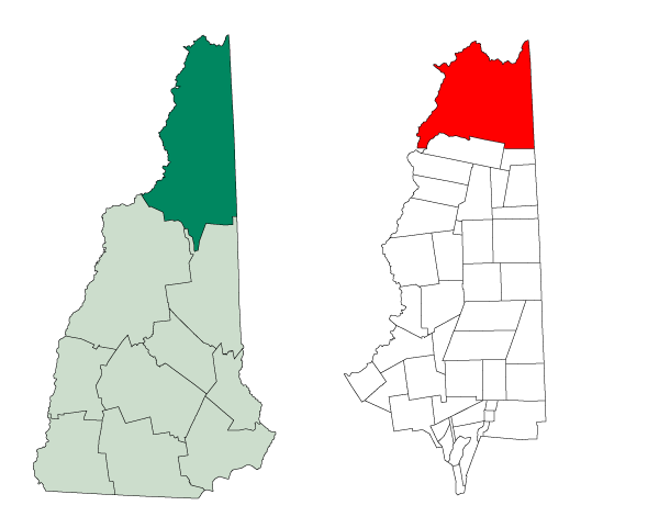
mapsize = 250x200px
map_caption = Location in Coos County,New Hampshire
settlement_type = Town
mapsize1 =
map_caption1 =
subdivision_type = Country
subdivision_name =United States
subdivision_type1 = State
subdivision_name1 =New Hampshire
subdivision_type2 = County
subdivision_name2 = Coos
government_type =
leader_title =Board of Selectmen
leader_name =
established_title = Incorporated
established_date = 1840
area_magnitude = 1 E8
area_total_km2 = 754.6
area_total_sq_mi = 291.4
area_land_km2 = 731.2
area_land_sq_mi = 282.3
area_water_km2 = 23.4
area_water_sq_mi = 9.1
area_water_percent = 3.11
population_as_of = 2000
population_note =
population_total = 867
population_density_km2 = 1.2
population_density_sq_mi = 3.1
timezone = Eastern
utc_offset = -5
timezone_DST = Eastern
utc_offset_DST = -4
latd = 45 |latm = 03 |lats = 04 |latNS = N
longd = 71 |longm = 23 |longs = 29 |longEW = W
elevation_m = 403
elevation_ft = 1322
website =
postal_code_type =ZIP code
postal_code = 03592
area_code = 603
blank_name = FIPS code
blank_info = 33-61780
blank1_name = GNIS feature ID
blank1_info = 0871099
footnotes =Pittsburg is a town in Coos County,
New Hampshire ,United States . The population was 867 at the 2000 census. It is the northernmost town in New Hampshire and the largest town by area in the state, more than twice the size of the next largest, Lincoln.U.S. Route 3 is the only major highway in the town.Pittsburg is part of the Berlin, NH–VT Micropolitan Statistical Area.
History
Pittsburg derives its name from
William Pitt , Prime Minister of theUnited Kingdom . Prior to its incorporation in 1840, the area was settled around 1810 and known as the Territory of Indian Stream. It had the unique distinction of having been its ownmicronation briefly during the 1830s, called theRepublic of Indian Stream .Geography
Pittsburg is the northernmost New Hampshire municipality. It shares an international border with
Québec province,Canada , and borders the states ofMaine andVermont . (Pittsburg is the only New Hampshire municipality to border Canada, and the only one to border both Maine and Vermont.) The western edge of Pittsburg is defined byHalls Stream , being the "northwesternmost headwaters of theConnecticut River ", which defined (ambiguously) the border in the Treaty of Paris of 1783.Contained within the boundaries of Pittsburg are the
Connecticut Lakes , which form the beginning of the Connecticut River. Pittsburg also contains the communities of Happy Corner, Idlewilde, and The Glen. Early maps (e.g. 1854) also show several grants that were incorporated into the eastern edge of Pittsburg, including "Carlisle No. 1", "Webster/Carlisle No. 2" and "Hubbards No. 3", all north of Atkinson and Gilmanton Academy Grant.According to the
United States Census Bureau , the town has a total area of convert|291.4|sqmi|km2 . convert|282.3|sqmi|km2|abbr=on of it is land and convert|9.1|sqmi|km2|abbr=on of it is water, comprising 3.11% of the town.The highest point in Pittsburg is the summit of Stub Hill, at convert|3627|ft|m above
sea level . Magalloway Mountain, convert|3383|ft|m above sea level, is a prominent summit reachable by hiking trail.Demographics
As of the
census GR|2 of 2000, there were 867 people, 386 households, and 264 families residing in the town. Thepopulation density was 3.1 people per square mile (1.2/km²). There were 1,281 housing units at an average density of 4.5/sq mi (1.8/km²). The racial makeup of the town was 98.27% White, 0.12% African American, 0.58% Native American, 0.23% from other races, and 0.81% from two or more races. Hispanic or Latino of any race were 0.46% of the population.There were 386 households out of which 22.3% had children under the age of 18 living with them, 59.1% were married couples living together, 4.4% had a female householder with no husband present, and 31.6% were non-families. 26.7% of all households were made up of individuals and 14.8% had someone living alone who was 65 years of age or older. The average household size was 2.24 and the average family size was 2.67.
In the town the population was spread out with 18.9% under the age of 18, 5.4% from 18 to 24, 23.8% from 25 to 44, 32.9% from 45 to 64, and 19.0% who were 65 years of age or older. The median age was 46 years. For every 100 females there were 105.9 males. For every 100 females age 18 and over, there were 105.6 males.
The median income for a household in the town was $38,516, and the median income for a family was $42,500. Males had a median income of $31,250 versus $25,455 for females. The
per capita income for the town was $17,703. About 5.0% of families and 7.4% of the population were below thepoverty line , including 7.8% of those under age 18 and 11.5% of those age 65 or over.References
External links
* [http://www.nh.gov/nhes/elmi/htmlprofiles/pittsburg.html New Hampshire Economic and Labor Market Information Bureau Profile]
Wikimedia Foundation. 2010.