- Mount Ena
-
Mount Ena 恵那山 
Elevation 2,191 m (7,188 ft) Location Nakatsugawa, Gifu Prefecture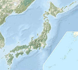
 Mount Ena
Achi, Nagano Prefecture
 Japan
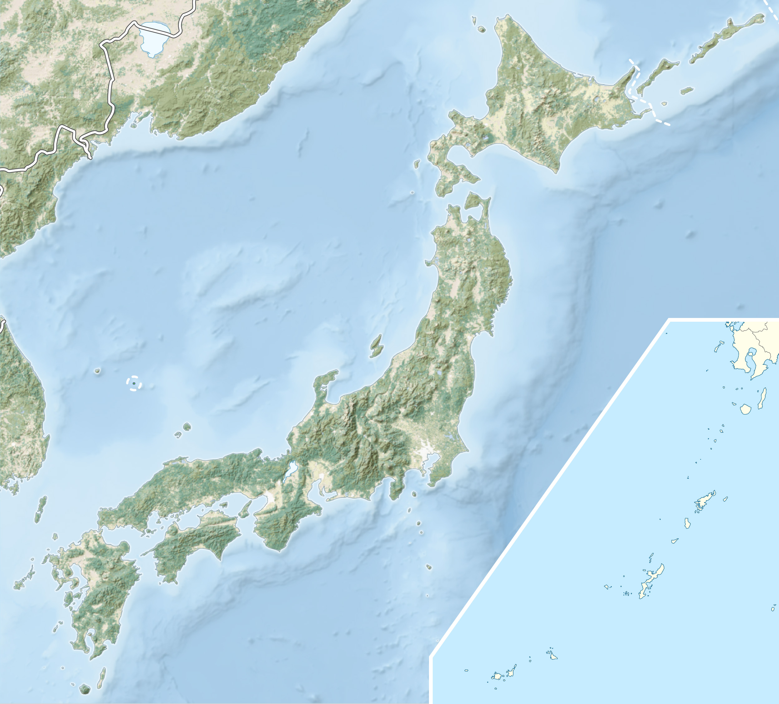
JapanRange Kiso Mountains Coordinates 35°26′35″N 137°35′49″E / 35.44306°N 137.59694°ECoordinates: 35°26′35″N 137°35′49″E / 35.44306°N 137.59694°E Mount Ena (恵那山 Ena-san) is a mountain located on the border between Nakatsugawa, Gifu Prefecture, and Achi, Nagano Prefecture in the Chūbu region of Japan. It is 2,191 m (7,188 ft) tall.[1] It is considered part of the Kiso Mountains and is included on the list of "100 Famous Japanese Mountains."
Contents
Hiking routes
There are four hiking routes to the mountain's peak. They are the Kuroisawa Route (黒井沢ルート), the Misaka Pass Route (神坂峠ルート), the Hirogawara Route (広河原ルート) and the Maemiya Route (前宮ルート).
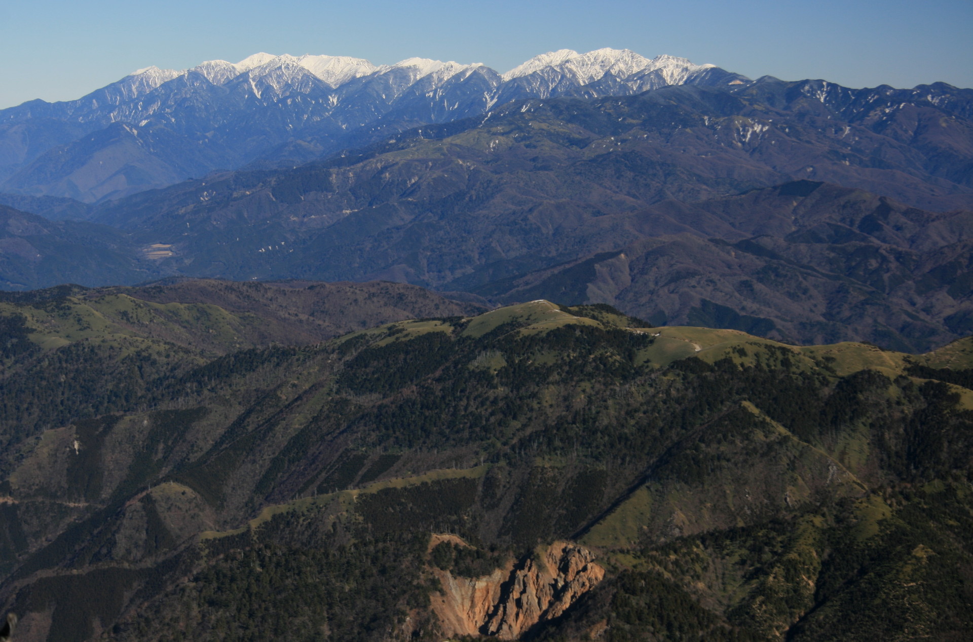
Scenery from top
The Japanese Alps, Mount Ontake, Mount Haku and part of Mount Fuji can be seen from the surrounding of the top.

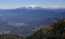
Central Alps Mount Ontake and Mount Norikura 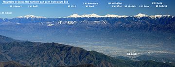
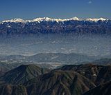
Southern Alps in northern part Southern Alps in southern part See also
- Kiso Mountains
- 100 Famous Japanese Mountains
- Before the Dawn (a novel by Tōson Shimazaki)
External links
References
- ^ Mount Ena Outdoor Information. (Japanese) Take-net. Retrieved June 27, 2008.
Categories:- Mountains of Gifu Prefecture
- Visitor attractions in Gifu Prefecture
- Mountains of Nagano Prefecture
- Visitor attractions in Nagano Prefecture
- Gifu geography stubs
- Nagano geography stubs


Wikimedia Foundation. 2010.