- San Jon, New Mexico
Infobox Settlement
official_name = San Jon, New Mexico
settlement_type = Village
nickname =
motto =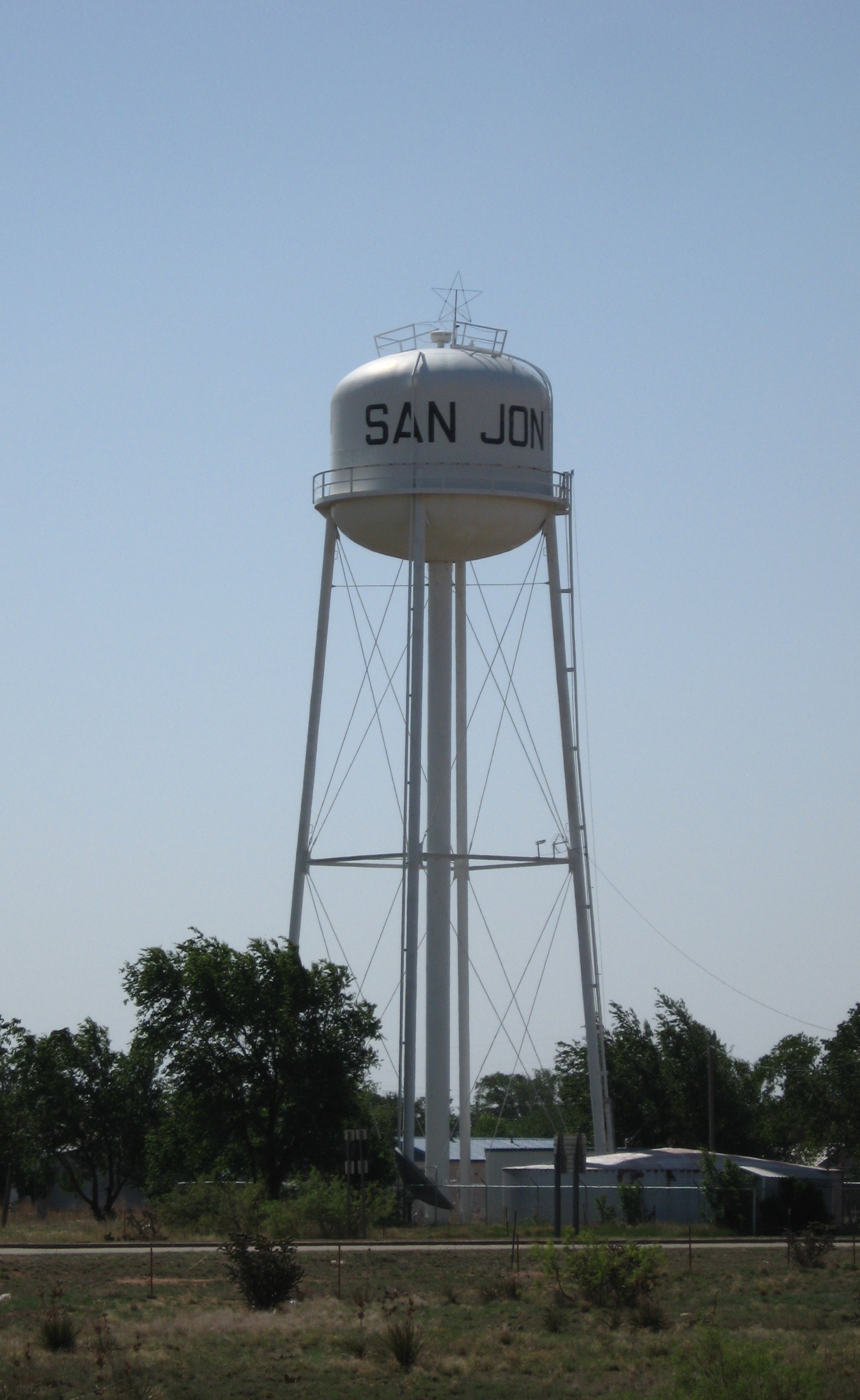
imagesize =
image_caption = Water tower in San Jon
image_
image_
mapsize = 250px
map_caption = Location of San Jon, New Mexico
mapsize1 =
map_caption1 =subdivision_type = Country
subdivision_name =United States
subdivision_type1 = State
subdivision_name1 =New Mexico
subdivision_type2 = County
subdivision_name2 = Quay
government_footnotes =
government_type =
leader_title =
leader_name =
leader_title1 =
leader_name1 =
established_title =
established_date =unit_pref = Imperial
area_footnotes =
area_magnitude =
area_total_km2 = 6.8
area_land_km2 = 6.8
area_water_km2 = 0.0
area_total_sq_mi = 2.6
area_land_sq_mi = 2.6
area_water_sq_mi = 0.0population_as_of = 2000
population_footnotes =
population_total = 306
population_density_km2 = 45.0
population_density_sq_mi = 116.5timezone = Mountain (MST)
utc_offset = -7
timezone_DST = MDT
utc_offset_DST = -6
elevation_footnotes =
elevation_m = 1229
elevation_ft = 4032
latd = 35 |latm = 6 |lats = 27 |latNS = N
longd = 103 |longm = 19 |longs = 49 |longEW = Wpostal_code_type =
ZIP code s
postal_code = 88411, 88434
area_code = 575
blank_name = FIPS code
blank_info = 35-68150
blank1_name = GNIS feature ID
blank1_info = 0894426
website =
footnotes =San Jon is a village in Quay County,
New Mexico ,United States . The population was 306 at the 2000 census. The village has been slowly but steadily losing population. The name is supposed to be derived from "deep ravine".Fact|date=March 2007The community terms itself the "Gateway to New Mexico".Fact|date=June 2008
History
The village was founded in 1902 and grew after the arrival of the railroad in 1904. It was once an important local commercial center and stop on
U.S. Route 66 , and home to numerous tourist-oriented businesses such as gasoline service stations, cafes and motels. However, when Interstate 40 bypassed the small village in 1981 and received only one exit from the freeway, the local economy went into a decline leading most of those businesses to shut down. Today, only one motel is still in operation and most of the gas stations and dining establishments are centered around the I-40 interchange on the north side of town.Geography
San Jon is located at coor dms|35|6|27|N|103|19|49|W|city (35.107614, -103.330396)GR|1.
According to the
United States Census Bureau , the village has a total area of 2.6square mile s (6.8km² ), all of it land.The village is located on US Route 40 at State Highway 469 and is east of Tucumcari.
Demographics
As of the
census GR|2 of 2000, there were 306 people, 118 households, and 82 families residing in the village. Thepopulation density was 116.5 people per square mile (44.9/km²). There were 133 housing units at an average density of 50.6/sq mi (19.5/km²). The racial makeup of the village was 87.91% White, 1.63% Native American, 6.54% from other races, and 3.92% from two or more races. Hispanic or Latino of any race were 32.03% of the population.There were 118 households out of which 37.3% had children under the age of 18 living with them, 56.8% were married couples living together, 12.7% had a female householder with no husband present, and 29.7% were non-families. 28.0% of all households were made up of individuals and 14.4% had someone living alone who was 65 years of age or older. The average household size was 2.59 and the average family size was 3.24.
In the village the population was spread out with 30.7% under the age of 18, 5.9% from 18 to 24, 24.5% from 25 to 44, 21.9% from 45 to 64, and 17.0% who were 65 years of age or older. The median age was 36 years. For every 100 females there were 74.9 males. For every 100 females age 18 and over, there were 78.2 males.
The median income for a household in the village was $22,917, and the median income for a family was $27,000. Males had a median income of $30,000 versus $16,607 for females. The
per capita income for the village was $11,592. About 14.3% of families and 16.8% of the population were below thepoverty line , including 26.7% of those under the age of eighteen and 13.6% of those sixty five or over.References
External links
* [http://www.newmexico.org/place/loc/cities/page/DB-place/place/1559.html Brief information about San Jon]
* [http://www.legendsofamerica.com/NM-SanJon.html Old San Jon]
Wikimedia Foundation. 2010.