- Millerton, New York
-
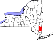
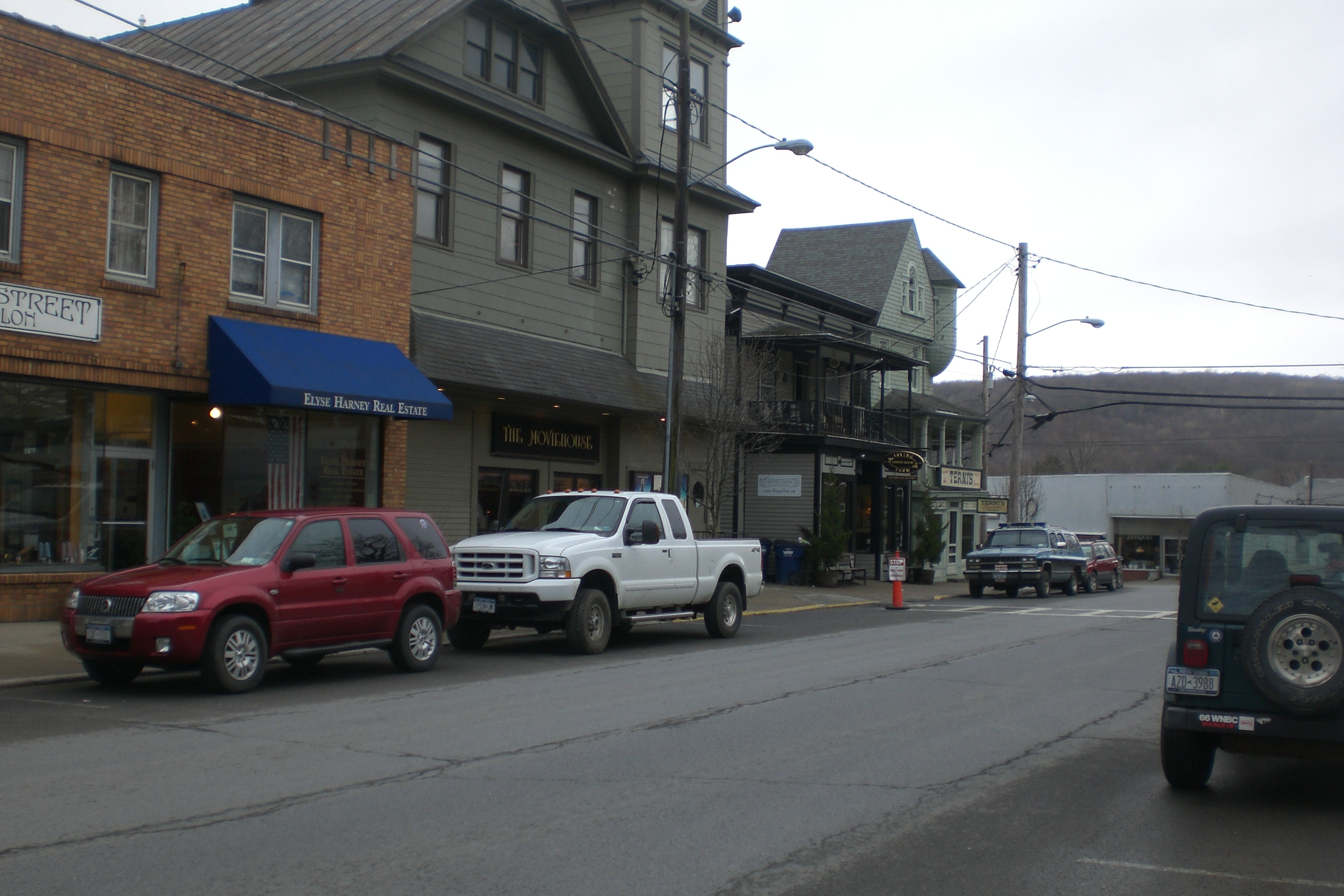
Millerton, New York — Village — Business District in Millerton. Location within the state of New York
 Millerton, New York
Coordinates: 41°57′14″N 73°30′28″W / 41.95389°N 73.50778°WCoordinates: 41°57′14″N 73°30′28″W / 41.95389°N 73.50778°W Country United States State New York County Dutchess Area – Total 0.6 sq mi (1.6 km2) – Land 0.6 sq mi (1.6 km2) – Water 0.0 sq mi (0.0 km2) Elevation 709 ft (216 m) Population (2000) – Total 925 – Density 1,470.4/sq mi (567.7/km2) Time zone Eastern (EST) (UTC-5) – Summer (DST) EDT (UTC-4) ZIP code 12546 Area code(s) 518 FIPS code 36-47361 GNIS feature ID 0957337 Millerton is a village in Dutchess County, New York, United States. The population was 925 at the 2000 census. It is part of the Poughkeepsie–Newburgh–Middletown, NY Metropolitan Statistical Area as well as the larger New York–Newark–Bridgeport, NY-NJ-CT-PA Combined Statistical Area. The name is from Sidney Miller, a railroad contractor. Millerton was named one of the "ten coolest small towns in America" by Frommer's Budget Travel Magazine in 2007.[1]
The Village of Millerton is within the Town of North East and is near the border of Connecticut. The town borders Taconic State Park.
Contents
History
The community was founded after 1851. The Village of Millerton was incorporated in 1875.
Local people of note
- Eddie Collins, Hall of Fame baseball player.
- Sandy Berger, United States National Security Advisor during the second term of Bill Clinton
- Don Hastings, Brooklyn born Actor residing in Millerton.
- Karl Moody, Actor / Entertainer born and raised in Millerton.
Geography
at 41°57′14″N 73°30′28″W / 41.95389°N 73.50778°W (41.953860, -73.507771)[2].
According to the United States Census Bureau, the village has a total area of 0.6 square miles (1.6 km2), all of it land.
Demographics
As of the census[3] of 2000, there were 925 people, 375 households, and 232 families residing in the village. The population density was 1,470.4 people per square mile (566.9/km²). There were 412 housing units at an average density of 654.9 per square mile (252.5/km²). The racial makeup of the village was 93.51% White, 2.27% African American, 0.32% Native American, 1.30% Asian, 0.11% Pacific Islander, 1.41% from other races, and 1.08% from two or more races. Hispanic or Latino of any race were 3.89% of the population.
There were 375 households out of which 29.3% had children under the age of 18 living with them, 45.3% were married couples living together, 12.5% had a female householder with no husband present, and 38.1% were non-families. 32.0% of all households were made up of individuals and 14.4% had someone living alone who was 65 years of age or older. The average household size was 2.44 and the average family size was 3.09.
In the village the population was spread out with 24.4% under the age of 18, 8.3% from 18 to 24, 27.8% from 25 to 44, 24.0% from 45 to 64, and 15.5% who were 65 years of age or older. The median age was 40 years. For every 100 females there were 88.8 males. For every 100 females age 18 and over, there were 89.9 males.
The median income for a household in the village was $36,176, and the median income for a family was $46,458. Males had a median income of $27,279 versus $29,500 for females. The per capita income for the village was $17,220. About 7.7% of families and 14.3% of the population were below the poverty line, including 24.7% of those under age 18 and 12.0% of those age 65 or over.
Checkerboard Corner
On the south side of the village, Routes 22/44 make a 90-degree turn. The concrete barrier is painted a black and yellow checkerboard motif; its advisory speed limit is 15 mph.
Pop music
Millerton has a surprisingly strong music scene considering its isolation from other larger music communities; it has also managed to avoid the flood of pop bands that have stifled larger cities i.e. Poughkeepsie. On any given weekend music can be found at one of the town's several venues: Irving Farm Coffee House, Manna Dew Cafe, and even Eddie Collins Memorial Park. Though, the scene is rich in indie and classic folk bands, many other genres remain prevalent. Some of the better known local acts include Take One Car (experimental/indie rock) who performed at The Bamboozle 2010, Hillary Richmond (indie-pop pianist/guitarist), and The Crooks (indie rock).[citation needed]
References
- ^ http://www.budgettravel.com/bt-dyn/content/article/2007/08/06/AR2007080600775.html
- ^ "US Gazetteer files: 2010, 2000, and 1990". United States Census Bureau. 2011-02-12. http://www.census.gov/geo/www/gazetteer/gazette.html. Retrieved 2011-04-23.
- ^ "American FactFinder". United States Census Bureau. http://factfinder.census.gov. Retrieved 2008-01-31.
External links
Municipalities and communities of Dutchess County, New York Cities Beacon | Poughkeepsie
Towns Amenia | Beekman | Clinton | Dover | East Fishkill | Fishkill | Hyde Park | LaGrange | Milan | North East | Pawling | Pine Plains | Pleasant Valley | Poughkeepsie | Red Hook | Rhinebeck | Stanford | Union Vale | Wappinger | Washington
Villages CDPs Other
hamletsAnnandale-on-Hudson | Barrytown | Boston Corner‡ | Chelsea | Linden Acres | Mabbettsville | New Hamburg | Pleasant Plains | Quaker Hill | Rhinecliff | Salt Point | Shekomeko | Sylvan Lake | Van Keurens | Verbank | Wassaic
Footnotes ‡This populated place also has portions in an adjacent county or counties
Categories:- Villages in New York
- North East, New York
- Poughkeepsie–Newburgh–Middletown metropolitan area
- Populated places in Dutchess County, New York


Wikimedia Foundation. 2010.