- Monteregian Hills
-
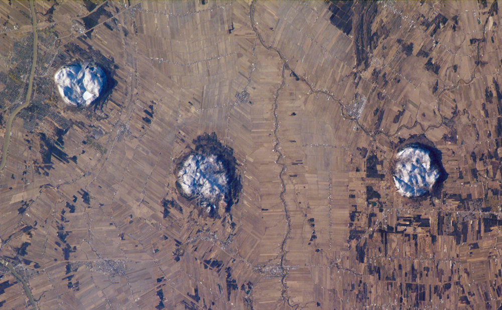
Monteregian Hills Range 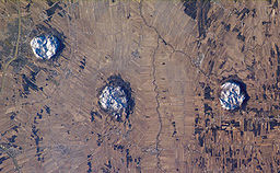 Three of the central Monteregian hills (from left: Mont Saint-Hilaire, Mont Rougemont and Mont Yamaska) viewed from space.
Country Canada Province Quebec Highest point Mont Brome - elevation 553 m (1,814 ft) Period Cretaceous The Monteregian Hills (French: Collines Montérégiennes) is a linear chain of isolated hills in Montreal and the Montérégie, between the Laurentians and the Appalachians.
They are named for Mount Royal (Latin, Mons Regius), their best-known (but not tallest) member. Other hills in the chain include Mont Saint-Bruno, Mont Saint-Hilaire, Mont Saint-Grégoire, Mont Rougemont, Mont Yamaska, Mont Shefford, and Mont Brome. Many geologists believe that Mont Mégantic is also a member of this group as it has the same mechanism and depth of intrusion.[1]
Each hill in the chain consists of an erosional remnant of Cretaceous intrusive igneous rock and associated hornfels, which are more resistant to weathering than the surrounding sedimentary rock. All of the hills have dark-coloured mafic rock such as gabbro and essexite; some also have large areas of pulaskite, syenite, and other light-coloured rock.
The Monteregian Hills are part of the Great Meteor hotspot track, formed as a result of the North American Plate sliding westward over the long-lived New England hotspot,[2] and are the eroded remnants of intrusive stocks. These intrusive stocks have been variously interpreted as the feeder intrusions of long extinct volcanoes, which would have been active about 125 million years ago,[3][4] or as intrusives that never breached the surface in volcanic activity.[5] The lack of an obvious track west of the Monteregian Hills may be due either to failure of the plume to penetrate the Canadian Shield, to the lack of recognisable intrusions, or to strengthening of the plume when it approached the Monteregian Hills.
The shallow, rocky sandy loam soils of the summits are mostly covered in forest. Where the underlying rock is rich in olivine, as over large areas of Mont Saint-Bruno and Mont Rougemont, these soils are classed as dystric brunisol. Podzol tends to develop over rock which lacks olivine, although many of these podzols lack an eluvial (Ae) horizon. Lower slopes are covered with aprons of gravel or sand. The sandy soils are usually podzols with classic Ae development; they often have subsoil hardpan and are undesirable for agriculture. The free-draining gravels are preferred for apple orchards, which grow in thermal belts where cold air can drain to the valley floor.
See also
- Volcanism of Canada
- Volcanism of Eastern Canada
External links
- (French) Les collines montérégiennes Geologic information about the chain
References
- ^ Tomas Feininger and Alan K. Goodacre, The distribution of igneous rocks beneath Mont Mégantic (the easternmost Monteregian) as revealed by gravity, Can. J. Earth Sci./Rev., 40(5): 765-773 (2003) http://pubs.nrc-cnrc.gc.ca/cgi-bin/rp/rp2_abst_e?cjes_e03-022_40_ns_nf_cjes (abstract)
- ^ http://www.nature.com/nature/journal/v446/n7134/fig_tab/nature05675_F2.html Inferred track of the Great Meteor hotspot. Retrieved on 2007-10-04
- ^ A Hundred-Million Year History of the Corner Rise and New England Seamounts http://www.oceanexplorer.noaa.gov/explorations/05stepstones/background/geologic_history/geologic_history.html Retrieved on 2007-08-01
- ^ The Monteregian Hills: Igneous Intrusions, http://geoscape.nrcan.gc.ca/montreal/heritage_e.php#mont Natural Resources Canada, Geoscape Montreal, 2006-07-24
- ^ http://www.mcgill.ca/gault/sainthilaire/natural/geology/ Geology of Gault Nature Reserve, Mont St. Hilaire, McGill University
Coordinates: 45°28′43.49″N 73°02′22.08″W / 45.4787472°N 73.0394667°W
Categories:- Mountain ranges of Quebec
- Mountains of Quebec
- Cretaceous volcanism
- Volcanism of Quebec
- Geography of Montérégie
Wikimedia Foundation. 2010.