- Lake Mendota
-
Lake Mendota 
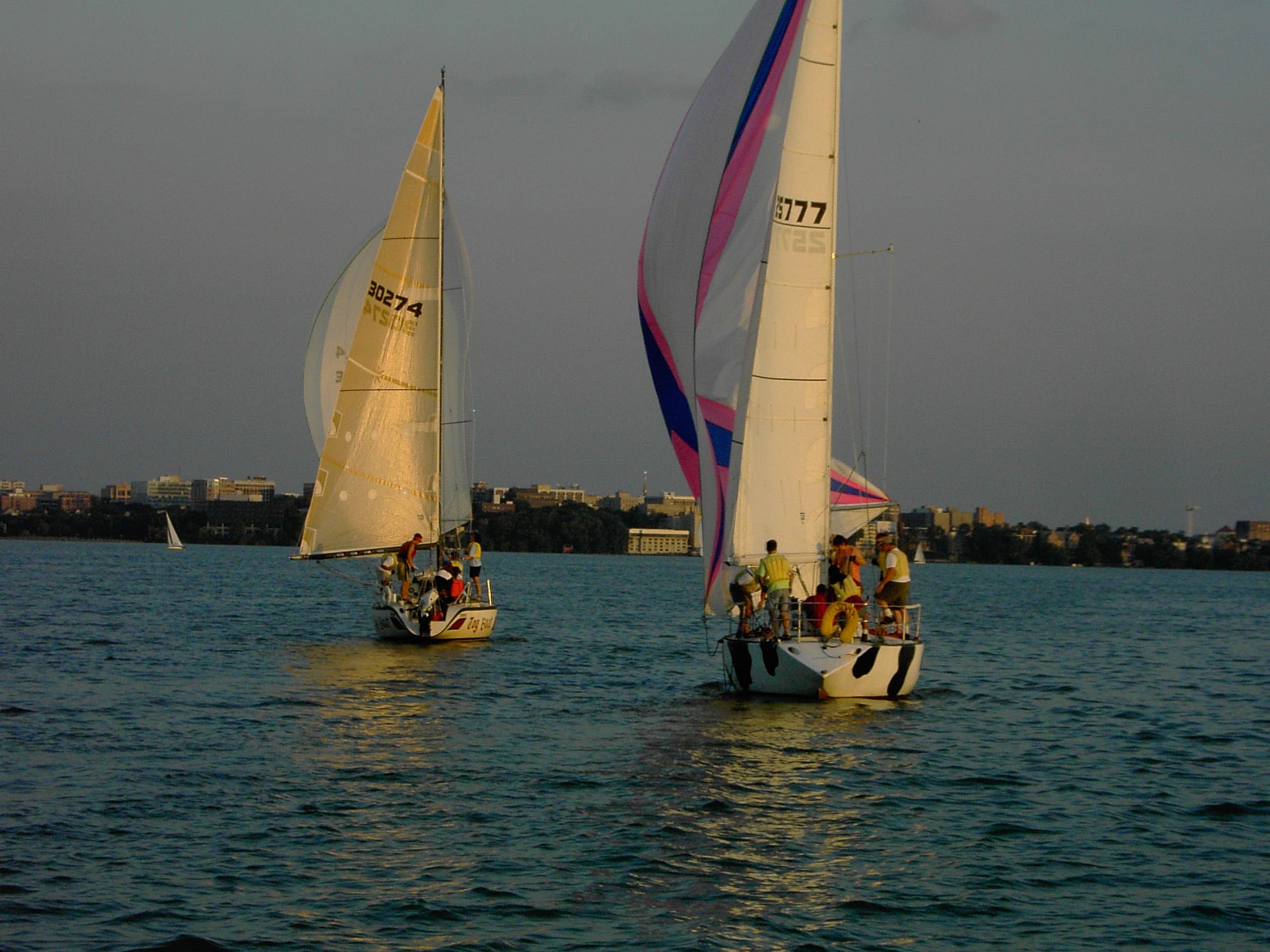
Boats headed toward south shore (downtown Madison). Location Dane County, Wisconsin, USA Coordinates 43°06′24″N 89°25′29″W / 43.10667°N 89.42472°WCoordinates: 43°06′24″N 89°25′29″W / 43.10667°N 89.42472°W Primary inflows Yahara River Primary outflows Yahara River Catchment area 562 km2 (217 sq mi) Basin countries United States Surface area 9,740 acres (3,940 ha) (39.4 sq. km) Max. depth 83 ft (25 m) Residence time 4.5 years Shore length1 21.6 mi (34.8 km) Surface elevation 259 m (850 ft) Frozen December 20 (average freezing date) Settlements Madison, Middleton, Shorewood Hills, Maple Bluff, Westport 1 Shore length is not a well-defined measure. Lake Mendota is the northernmost and largest of the four lakes near Madison, Wisconsin.[1] The lake borders Madison on the north, east and south, Middleton on the west, Shorewood Hills on the southwest, Maple Bluff on the northeast, and Westport on the northwest.
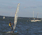 Windsurfer on the lake.
The shorelines of Lakes Mendota and Monona define the isthmus upon which Madison was built, with the lakes connected by the Yahara River. The Wisconsin State Capitol building and much of the state government is located in this narrow stretch of land.
The University of Wisconsin–Madison campus is situated along the southern shore of Lake Mendota. In the early 20th century, Chancey Juday and Edward A. Birge founded an influential school of limnology there as a component of the university.[2] The university's Hoofer Sailing Club operates at Memorial Union.
Much of the shore of Lake Mendota is lined with expensive luxury homes and condominiums. The banks of Lake Mendota also contain government protected natural areas and parks, including James Madison Park, as well as university housing, the UW Student Union and a handful of hotels and restaurants. Summers bring boaters out in force, especially on the weekends, though Lake Mendota is rarely crowded. There are several boat launching sites and two major marinas serving the lake. On a typical summer day, the lake is filled with those engaging in water sports, including fishing, water-skiing, wakeboarding, tubing, canoeing, wind-surfing, kayaking, and sailing.[3][4] With an average freeze date of December 20, Lake Mendota is still used in the winter by sports enthusiasts for ice-boating, ice-skating, ice fishing, cross country skiing, ice hockey and snowkiting.[citation needed]
Contents
Lake study
Lake Mendota has been called the most studied lake in the United States, with the UW–Madison Center for limnology resting on its southern bank.[5] The lake has a remote sensor buoy, affectionately known as David Buoy, that is part of the Global Lake Ecological Observatory Network.
On September 11, 2009, the invasive spiny water flea (Bythotrephes longimanus) was discovered by the limnology class at the University of Wisconsin–Madison, making it the third known inland lake to harbor this species in Wisconsin.[6]
Lake Mendota has Surface Area of 3,988 ha. Maximum depth: 24.9 m. Mean depth: 12.5 m. Volume: 503 m^3. Surface elevation: 259m. Shore Length: 34.8 km.
The pH of Lake Mendota: 8.3-8.4. Specific Conductance of 407.8 mS/cm. Dissolved Organic Carbon as 5.3-5.7 mg/L.
See also
Gallery
 Lake Mendota as seen from the University Bay landing in the Fall of 2008
References
- ^ "Lake Mendota". Yahara Waterways - Water Trail Guide. http://danedocs.countyofdane.com/webdocs/PDF/lwrd/lakes/mendotaGuide.pdf. Retrieved 2009-09-25.
- ^ "Limnology at the University of Wisconsin". University of Wisconsin Regents. 2009. http://limnology.wisc.edu/index.php?pr=History. Retrieved 2009-09-25.
- ^ "Wisconsin Hoofers Outing Club". http://www.hooferouting.org/modules/newbb/index.php. Retrieved 2009-09-25.[dead link]
- ^ "Hoofer Sailing Club". http://www.hoofersailing.org/. Retrieved 2009-09-25.
- ^ "About the Center for Limnology". University of Wisconsin Regents. 2009. http://limnology.wisc.edu/index.php?pr=About_the_Center. Retrieved 2009-09-22.
- ^ Tenenbaum, Dave (2009-09-16). "UW–Madison undergraduates make unwelcome discovery in Lake Mendota". Board of Regents of the University of Wisconsin System. http://www.news.wisc.edu/17088. Retrieved 2009-09-22.
External links
- Information about Lake Mendota's physical characteristics - University of Wisconsin - Madison Limnology Department
- City of Madison Beaches
 Media related to Lake Mendota at Wikimedia Commons
- [1] GAMIS Monitoring Buoy of Lake Mendota
Categories:- Lakes of Wisconsin
- Geography of Dane County, Wisconsin
- Geography of Madison, Wisconsin
- Visitor attractions in Madison, Wisconsin


Wikimedia Foundation. 2010.