- Headcorn railway station
Infobox UK station
name = Headcorn
code = HCN
manager = Southeastern
locale =Headcorn
borough = Maidstone
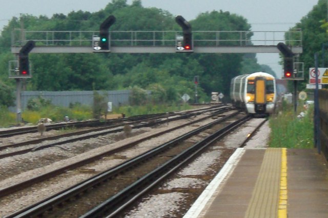
platforms = 2 (formerly 3)
usage0405 = 0.544
usage0506 = 0.565
usage0607 = 0.622
years =31 August 1842
events = Opened [http://hfstephens-museum.org.uk/pages/topics/headcorn/headcorn_to_maidstone.htm] Colonel Stephens Museum]
years1 =19 May 1905
events1 = KESR branch opens
years2 =4 January 1954
events2 = KESR branch closesHeadcorn railway station serves
Headcorn inKent . The station, and all trains serving it, is operated by Southeastern.Services
The typical off-peak service from the station is two trains per hour to Ashford International and two trains per hour to London Charing Cross.
History
Headcorn station was opened on the South Eastern Railways (SER) mainline in the year of that line's inauguration, 1842"SER Lines and Stations, http://rail.felgall.com/ser.htm , URL accessed 11 June 2007] . For the following 63 years it remained a simple mainline station, until in 1905 the Headcorn Extension of Colonel Stephens'
Kent and East Sussex Railway (KESR) made Headcorn station hisbranch line 's northern terminus."Subterranea Brittanica", "http://www.subbrit.org.uk/sb-sites/stations/h/headcorn/index.shtml ,URL accessed 11 June 2007]The Kent and East Sussex Railway connected Headcorn with
Robertsbridge on the SER'sHastings Line via the Rother Valley, and gave the line's rural customers the opportunity to sell their goods to larger markets in the towns ofTonbridge ,Ashford andPaddock Wood . The northern extension to Headcorn was subsidised by theSouth Eastern and Chatham Railway (SECR - SER's successor) "A summary history of the Kent & East Sussex Railway", http://www.kesr.org.uk/about_kesr/history.htm , URL accessed 11 June 2007] .Despite surviving until long after many similar lines, the Kent and East Sussex Railway suffered a massive fall in passenger numbers after
World War II , and the line from Headcorn toTenterden was eventually closed to all traffic on 2 January 1954. The line was torn up along the actual route; but the platform, footbridge and track all still exist in the station itself, on the south side of the present-day mainline. The station and route to Tenterden are clearly visible onGoogle Earth , using the co-ordinates given at the top right of this article.References
External links
Wikimedia Foundation. 2010.