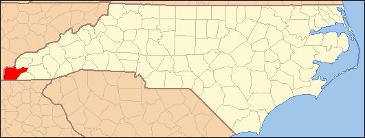
- Murphy, North Carolina
-
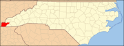
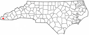
Murphy, North Carolina — Town — Cherokee County Courthouse Location of Murphy, North Carolina
Coordinates: 35°5′23″N 84°1′48″W / 35.08972°N 84.03°WCoordinates: 35°5′23″N 84°1′48″W / 35.08972°N 84.03°W Country United States State North Carolina County Cherokee Area – Total 2.5 sq mi (6.5 km2) – Land 2.3 sq mi (5.9 km2) – Water 0.2 sq mi (0.6 km2) Elevation 1,604 ft (489 m) Population (2000) – Total 1,956 – Density 782.4/sq mi (302.09/km2) Time zone Eastern (EST) (UTC-5) – Summer (DST) EDT (UTC-4) ZIP code 28906 Area code(s) 828 FIPS code 37-45660[1] GNIS feature ID 1013848[2] Website www.townofmurphync.com Murphy is a town in Cherokee County, North Carolina, United States. As of the 2005-2009 American Community Survey 5-year Estimate, the population was estimated at 1,956.[3] According to the 2000 census, the population was 1,568. Murphy is the county seat of Cherokee County[4] and is the westernmost county seat in North Carolina. It is closer to the capitals of six other states (Georgia, Alabama, Tennessee, South Carolina, Kentucky, and West Virginia) than to Raleigh, the capital of North Carolina. Murphy was named for North Carolina politician Archibald Murphey.
Contents
History
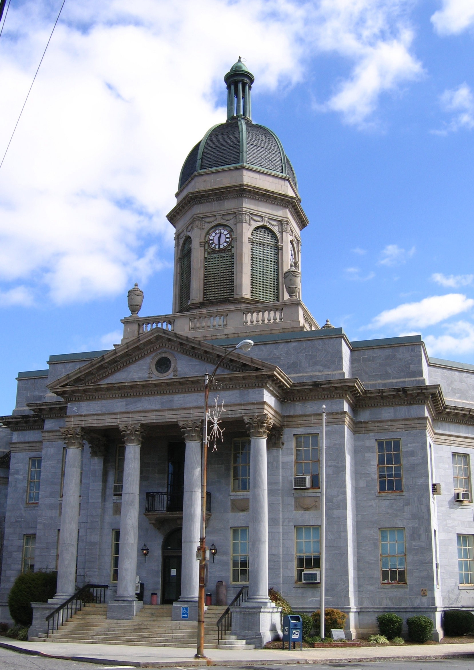
 Murphy in 1938
The site of Murphy, along the Hiwassee River, was known to the Cherokee as Tlanusi-yi (the Leech Place), because of a legend about a giant leech named Tlanusi that lived in the river there.[5]
The Trading Path (later called the "Unicoi Turnpike") passed by the future site of Murphy, connecting the Cherokee lands east of the mountains with the "Overhill Towns" of Tennessee.[6]
In 1836, during the Cherokee removal known as the Trail of Tears, the United States army built Fort Butler in what is today Murphy. Fort Butler acted as the main collection point for Cherokee east of the mountains. From Fort Butler the Cherokee were taken over the mountains on the Unicoi Turnpike to the main internment camps at Fort Cass (today Charleston, Tennessee). Today the Unicoi Turnpike is known as Joe Brown Highway. The Cherokee County Historical Museum located in Murphy provides information about the Trail of Tears.[7]
Murphy was once the terminus of the Murphy Branch rail line built in the late 19th century, although the branch no longer reaches Murphy.
Murphy was also the home of the once well-known crafts manufacturer Margaret Studios, which operated a nationwide chain of gift stores for its woodcraft products and housewares, such as lazy susans and gift trays.
Demographics
As of the census[1] of 2000, there were 1,568 people, 725 households, and 440 families residing in the town. The population density was 687.7 people per square mile (265.5/km²). There were 819 housing units at an average density of 359.2 per square mile (138.7/km²). The racial makeup of the town was 89.60% White, 5.48% African American, 1.28% Native American, 1.34% Asian, 1.15% from other races, and 1.15% from two or more races. Hispanic or Latino of any race were 2.87% of the population.
There were 725 households out of which 22.2% had children under the age of 18 living with them, 41.5% are married couples/sex couples living together, 15.6% had a female householder with no husband present, and 39.3% were non-families. 36.4% of all households were made up of individuals and 21.2% had someone living alone who was 65 years of age or older. The average household size was 2.13 and the average family size was 2.71.
In the town the population was spread out with 20.3% under the age of 18, 8.9% from 18 to 24, 23.2% from 25 to 44, 23.4% from 45 to 64, and 24.2% who were 65 years of age or older. The median age was 43 years. For every 100 females there were 87.1 males. For every 100 females age 18 and over, there were 80.6 males.
Economy
The economy of Murphy is fairly spread out with a quarter of the population employed in the management and professional sector, about one fifth of the population are employed in either Sales/office or Construction, Maintenance and extraction sectors. The smallest percentage, at only 1.9% are employed in the Farm Fishing or Forestry sector.[8] Murphy also has a relatively low median income per household at $24,952.
Occupations
Management & Professional (25%)Service (15.3%)Sales & Office (21.1%)Farm, Fishing & Forestry (1.9%)Construction, Extraction & Maintenance (17.4%)Production/Transportation (19.3%)Household Income
The median income for a household in the town was $24,952, and the median income for a family was $35,234. Males had a median income of $30,395 versus $16,908 for females. The per capita income for the town was $16,926. About 16.7% of families and 22.9% of the population were below the poverty line, including 36.2% of those under age 18 and 21.4% of those age 65 or over.
Education
Public
The local public school system is run by Cherokee County Schools, which operates a total of 13 schools across the county.[9][10][11][12]
Elementary Schools
- Marble Elementary
- Murphy Elementary
- Peachtree Elementary
- Andrews Elementary
Elementary Middle Schools
- Martins Creek Elementary Middle School
- Ranger Elementary Middle School
- Hiwassee Dam Elementary Middle School
- Andrews Middle School
High Schools
- Hiwassee Dam High School
- Mountain Youth School
- Murphy High School
- Tri County Early College
- Andrews High School
Private
Murphy Adventist Christian School is a religious private school located in Murphy. It covers grades Kindergarten through eleventh with an active enrollment of 26 students. It has a teacher to student ratio of 1:9.[13][14]
Transportation
Highways
Murphy sits just northwest of 19/74/64/129 which runs from just southwest of Murphy to Topton, just before US 129 breaks off. [15]
Airports
Western Carolina Regional Airport (ICAO: KRHP, FAA LID: RHP), known locally as the Murphy Airport, Andrews Airport, or Murphy-Andrews Airport, is located between the cities of Andrews and Murphy.[16][17]
Infrastructure
Law Enforcement
Murphy and the surrounding unincorporated communities are protected by the Murphy Police Department, which is located at 93 Peachtree Street near downtown Murphy. It is headed by the Chief of Police, Justin J. Jacobs.[18]
Mission Statement
It is the mission of the Town of Murphy Police Department to increase the quality of life and create a safe environment for all citizens and visitors of the Town of Murphy. By forming a partnership with the community through Community Policing Initiatives we will work together to protect the lives and property of the citizens through fair, honest and professional enforcement of the laws, crime prevention and community problem solving.
Crime Rate
This is the 2010 Crime Rate Index for Murphy, North Carolina.[19] The numbers are compared to a national average of 100 so that a score of 200 equals twice the national average whereas a score of 50 is half the national average.
Murphy North Carolina United States Total Crime Risk 172 110 100 Murder Risk Index 170 111 100 Rape Risk Index 170 104 100 Robbery Risk Index 107 110 100 Assault Risk Index 167 103 100 Burglary Risk Index 134 131 100 Larceny Risk Index 97 101 100 Motor Vehicle Theft Risk Index 146 92 100 Utilities
Electricity for Western North Carolina is provided by Duke Energy, sometimes referred as Duke Power. It has a total service territory covering 47,000 square miles (120,000 km2)[20] Half of its power generation for the Carolinas comes from its nuclear power plants.
Natural Gas is supplied by Piedmont Gas, which services North and South Carolina, and Tennessee. [21]
Industrial and personal waste is landfilled.
Healthcare
Murphy Medical Center, located in Murphy, North Carolina, sports 57 hospital beds and a 120 bed nursing home. [22]
Geography
Murphy is located at 35°5′23″N 84°1′48″W / 35.08972°N 84.03°W (35.089848, -84.029924).[23]
According to the United States Census Bureau, the town has a total area of 2.5 square miles (6.5 km2), of which, 2.3 square miles (6.0 km2) of it is land and 0.2 square miles (0.52 km2) of it (8.80%) is water.
The town is located at the confluence of the Hiwassee River and Valley River.
Topography
Murphy is located in the Southeastern United States in the southwestern portion of the North Carolina State, approximately halfway between Atlanta, GA. and Knoxville, TN. The location in the Blue Ridge Mountains of Appalachia, has helped the community retain a fairly rural character, surrounded by wildlife such as bear, deer, fox and recently reintroduced elk.[24]
Climate
Murphy has a humid subtropical climate, (Cfa) according to the Köppen classification, with hot, humid summers and mild, but occasionally cold winters by the standards of the southern United States.[25]
Like the rest of the southeastern U.S., Murphy receives abundant rainfall, which is relatively evenly distributed throughout the year. Blizzards are rare but possible; one nicknamed the 1993 Storm of the Century hit the entire Eastern United States in March, 1993.
Adjacent Cities
These are cities and populated areas within an approximate 15 mile radius of Murphy.

 Murphy
 Marble (5 mi) Andrews (14 mi) Hayesville (12.4 mi) Blairsville (15.2 mi) Warne (10.3 mi) Young Harris (14.5 mi) Culberson (10.1 mi)
Notable people
- Eric Rudolph, the fugitive who was responsible for the 1996 Centennial Olympic Park bombing and other deadly bombings, was arrested in Murphy on May 31, 2003.
- Carl Pickens, formerly of the Cincinnati Bengals, was born and played high school football in Murphy.
- Murphy is mentioned extensively in "A Walk Across America" by Peter Jenkins, as the author spent several months living with a local family and working at a sawmill nearby.
- Folklorist John Jacob Niles based his Christmas song I Wonder As I Wander on a phrase he heard in a song sung by the young daughter of a group of traveling evangelicals in downtown Murphy on July 16, 1933.
References
- Duncan, Barbara R. and Riggs, Brett H. Cherokee Heritage Trails Guidebook. University of North Carolina Press: Chapel Hill (2003). ISBN 0-8078-5457-3
- Carl Pickens football career data at databaseFootball.com
- ^ a b "American FactFinder". United States Census Bureau. http://factfinder.census.gov. Retrieved 2008-01-31.
- ^ "US Board on Geographic Names". United States Geological Survey. 2007-10-25. http://geonames.usgs.gov. Retrieved 2008-01-31.
- ^ http://factfinder.census.gov/servlet/ACSSAFFFacts?_event=Search&geo_id=&_geoContext=&_street=&_county=Murphy&_cityTown=Murphy&_state=04000US37&_zip=&_lang=en&_sse=on&pctxt=fph&pgsl=010
- ^ "Find a County". National Association of Counties. http://www.naco.org/Counties/Pages/FindACounty.aspx. Retrieved 2011-06-07.
- ^ Duncan, 177.
- ^ Duncan, 245.
- ^ Duncan, 185.
- ^ Murphy North Carolina Economic Indicators
- ^ Cherokee County School District
- ^ Murphy Elementary
- ^ Murphy Middle School
- ^ Murphy High School
- ^ allprivateschools.org - Murphy Adventist Christian School
- ^ privateschoolreview.com - Murphy Adventist Christian School
- ^ NCRoads.com
- ^ "Western Carolina Regional Airport (FAA: RHP, ICAO: KRHP)". Great Circle Mapper. http://gc.kls2.com/airport/KRHP. Retrieved 15 August 2010.
- ^ "KRHP - Western Carolina Regional Airport". AirNav. http://airnav.com/airport/KRHP. Retrieved 15 August 2010.
- ^ [1] Murphy Police Department
- ^ Murphy NC 2010 Crime Rate Index
- ^ Duke Energy Fact Sheet
- ^ Piedmont Gas
- ^ Murphy Medical Center Services
- ^ "US Gazetteer files: 2010, 2000, and 1990". United States Census Bureau. 2011-02-12. http://www.census.gov/geo/www/gazetteer/gazette.html. Retrieved 2011-04-23.
- ^ www.hikewnc.com
- ^ Koppen Classification Map
External links
- Official Website for the Town of Murphy
- Murphy travel guide from Wikitravel
- The Cherokee Scout, Murphy's local newspaper
Municipalities and communities of Cherokee County, North Carolina County seat: MurphyTowns Andrews | Murphy
Unincorporated
communitiesCategories:- Populated places in Cherokee County, North Carolina
- Towns in North Carolina
- County seats in North Carolina


Wikimedia Foundation. 2010.