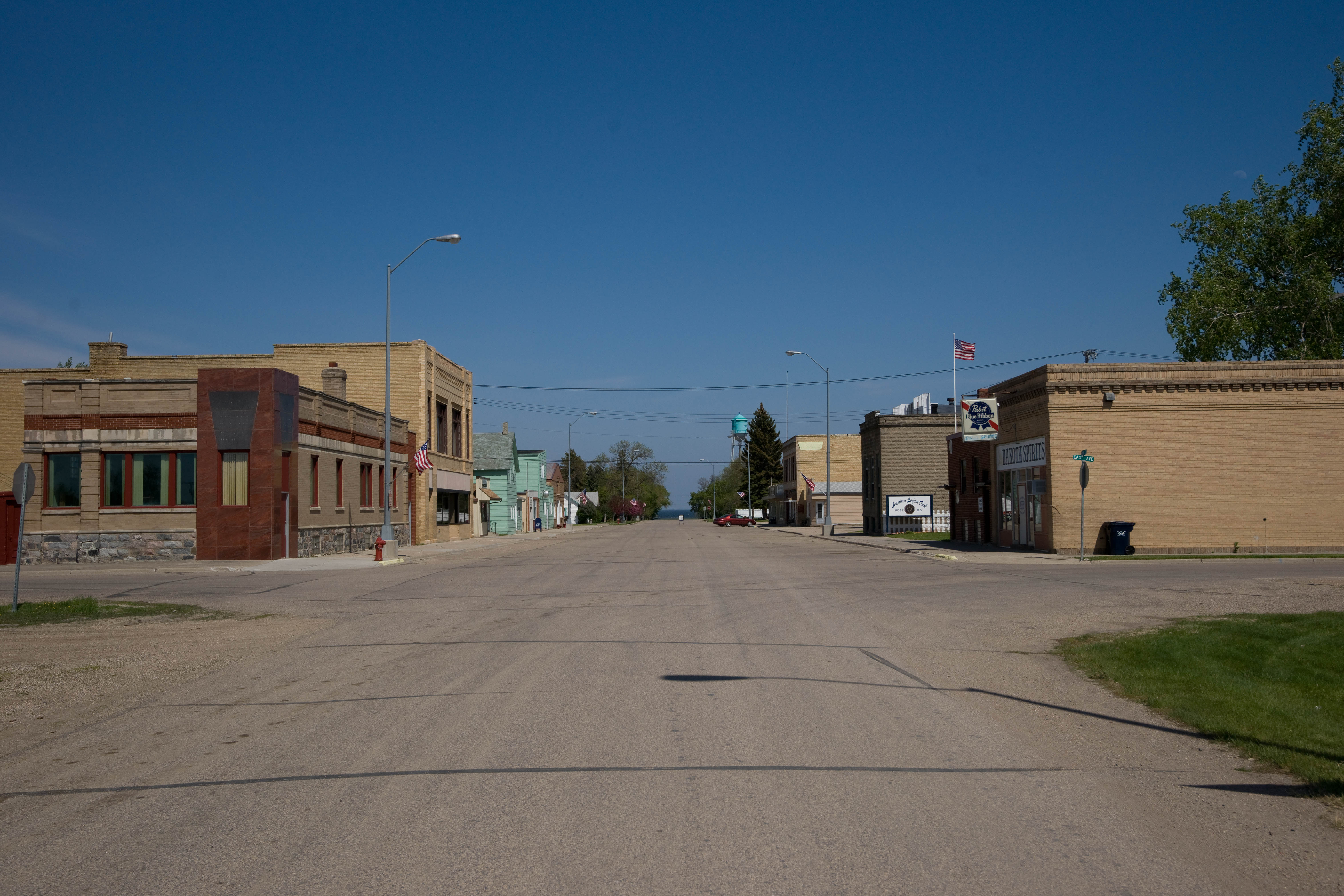
- Minnewaukan, North Dakota
-
Minnewaukan, North Dakota — City — Minnewaukan, North Dakota Location of Minnewaukan, North Dakota
Coordinates: 48°4′N 99°15′W / 48.067°N 99.25°WCoordinates: 48°4′N 99°15′W / 48.067°N 99.25°W Country United States State North Dakota County Benson Area – Total 0.3 sq mi (0.7 km2) – Land 0.3 sq mi (0.7 km2) – Water 0.0 sq mi (0.0 km2) Elevation 1,463 ft (446 m) Population (2010)[1] – Total 224 – Density 1,157.0/sq mi (446.7/km2) Time zone Central (CST) (UTC-6) – Summer (DST) CDT (UTC-5) ZIP code 58351 Area code(s) 701 FIPS code 38-53220[2] GNIS feature ID 1034197[3] Minnewaukan is a city in Benson County, North Dakota, in the United States.[4] It serves as the county seat and is fourth largest city in the county, after Fort Totten, Leeds, and Maddock. The population was 224 at the 2010 census.[1] Minnewaukan was founded in 1884.
Contents
Geography
Minnewaukan is located at 48°4′N 99°15′W / 48.067°N 99.25°W (48.0713, -99.2506).[5]
According to the United States Census Bureau, the city has a total area of 0.3 square miles (0.7 km²), all of it land.[6]
Demographics
Historical populations Census Pop. %± 1900 432 — 1910 510 18.1% 1920 564 10.6% 1930 480 −14.9% 1940 521 8.5% 1950 443 −15.0% 1960 420 −5.2% 1970 496 18.1% 1980 461 −7.1% 1990 401 −13.0% 2000 318 −20.7% 2010 224 −29.6% U.S. Decennial Census As of the census[7] of 2000, there were 318 people, 148 households, and 87 families residing in the city. The population density was 1,157.0 people per square mile (454.7/km²). There were 199 housing units at an average density of 724.1 per square mile (284.6/km²). The racial makeup of the city was 86.16% White, 9.75% Native American, 1.26% from other races, and 2.83% from two or more races. Hispanic or Latino of any race were 1.57% of the population.
There were 148 households out of which 26.4% had children under the age of 18 living with them, 48.0% were married couples living together, 3.4% had a female householder with no husband present, and 41.2% were non-families. 37.2% of all households were made up of individuals and 15.5% had someone living alone who was 65 years of age or older. The average household size was 2.15 and the average family size was 2.83.[7]
In the city the population was spread out with 22.3% under the age of 18, 4.1% from 18 to 24, 26.4% from 25 to 44, 28.9% from 45 to 64, and 18.2% who were 65 years of age or older. The median age was 42 years. For every 100 females there were 107.8 males. For every 100 females age 18 and over, there were 105.8 males.[8]
The median income for a household in the city was $27,250, and the median income for a family was $37,000. Males had a median income of $30,833 versus $17,500 for females. The per capita income for the city was $16,076. About 5.4% of families and 8.5% of the population were below the poverty line, including 16.2% of those under age 18 and 3.1% of those age 65 or over.[7]
Notable people
- Maxwell Anderson, playwright.
- Quentin Anderson, literary critic and cultural historian at Columbia University.
References
- ^ a b "2010 Census Redistricting Data (Public Law 94-171) Summary File". American FactFinder. United States Census Bureau. http://factfinder2.census.gov/faces/tableservices/jsf/pages/productview.xhtml?pid=DEC_10_PL_GCTPL2.ST13&prodType=table. Retrieved 2 May 2011.
- ^ "American FactFinder". United States Census Bureau. http://factfinder.census.gov. Retrieved 2008-01-31.
- ^ "US Board on Geographic Names". United States Geological Survey. 2007-10-25. http://geonames.usgs.gov. Retrieved 2008-01-31.
- ^ "Find a County". National Association of Counties. http://www.naco.org/Counties/Pages/FindACounty.aspx. Retrieved 2011-06-07.
- ^ "Minnewaukan". Geographic Names Information System, U.S. Geological Survey. http://geonames.usgs.gov/pls/gnispublic/f?p=gnispq:3:::NO::P3_FID:1034197. Retrieved 2009-05-03.
- ^ U.S. Census Bureau. Census 2000, Summary File 1. GCT-PH1. Population, Housing Units, Area, and Density: 2000 by county subdivision and place, "Benson County". American FactFinder. <http://factfinder.census.gov>. http://factfinder.census.gov/servlet/GCTTable?_bm=y&-ds_name=DEC_2000_SF1_U&-mt_name=DEC_2000_SF1_U_GCTPH1_CO1&-tree_id=4001&-geo_id=05000US38005&-format=CO-2&-_lang=en GCT-PH1. Population, Housing Units, Area, and Density: 2000 by county subdivision and place,. Retrieved 2008-01-31.
- ^ a b c U.S. Census Bureau. Census 2000. "Census Demographic Profiles, Minnewaukan, North Dakota" (PDF). CenStats Databases. <http://censtats.census.gov/data/>. http://censtats.census.gov/data/ND/1603853220.pdf. Retrieved 2009-01-31.
- ^ U.S. Census Bureau. Census 2000. "QT-P1. Age Groups and Sex, Minnewaukan, North Dakota". American FactFinder. <http://factfinder.census.gov>. http://factfinder.census.gov/servlet/QTTable?_bm=y&-geo_id=16000US3853220&-qr_name=DEC_2000_SF1_U_QTP1&-ds_name=D&-_lang=en&-redoLog=false. Retrieved 2009-01-31.
External links
Municipalities and communities of Benson County, North Dakota County seat: MinnewaukanCities 
Townships Albert | Arne | Aurora | Beaver | Broe | Butte Valley | East Fork | Eldon | Esmond | Hesper | Impark | Iowa | Irvine | Isabel | Knox | Lake Ibsen | Lallie | Leeds | Lohnes | McClellan | Minco | Mission | Normania | North Viking | Oberon | Pleasant Lake | Rich Valley | Riggin | Rock | South Viking | Twin Lake | Twin Tree | Warwick | West Antelope | West Bay | Wood Lake | York
CDP Unincorporated
communitiesBaker | Comstock | Fillmore | Flora | Harlow | Hesper | Isabel | Josephine | Lallie | Niles | Pleasant Lake | Saint Michael | Tilden | Tokio
Categories:- Populated places in Benson County, North Dakota
- Cities in North Dakota
- County seats in North Dakota
- Populated places established in 1884


Wikimedia Foundation. 2010.