- Park River, North Dakota
Infobox Settlement
official_name = Park River, North Dakota
settlement_type =City
nickname =
motto =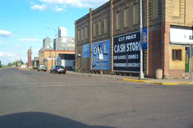
imagesize = 250px
image_caption = Downtown Park River with grain elevators in the background
image_
mapsize = 250px
map_caption = Location of Park River, North Dakota
mapsize1 =
map_caption1 =subdivision_type = Country
subdivision_name =United States
subdivision_type1 = State
subdivision_name1 =North Dakota
subdivision_type2 = County
subdivision_name2 = Walshgovernment_footnotes =
government_type =
leader_title =
leader_name =
leader_title1 =
leader_name1 =
established_title =
established_date =unit_pref = Imperial
area_footnotes =area_magnitude =
area_total_km2 = 5.6
area_land_km2 = 5.1
area_water_km2 = 0.5
area_total_sq_mi = 2.2
area_land_sq_mi = 2.0
area_water_sq_mi = 0.2population_as_of = 2000
population_footnotes =
population_total = 1535
population_density_km2 = 298.3
population_density_sq_mi = 772.6timezone = Central (CST)
utc_offset = -6
timezone_DST = CDT
utc_offset_DST = -5
elevation_footnotes =
elevation_m = 303
elevation_ft = 994
latd = 48 |latm = 23 |lats = 44 |latNS = N
longd = 97 |longm = 44 |longs = 43 |longEW = Wpostal_code_type =
ZIP code
postal_code = 58270
area_code = 701
blank_name = FIPS code
blank_info = 38-60900GR|2
blank1_name = GNIS feature ID
blank1_info = 1030633GR|3
website = [http://www.parkrivernd.govoffice2.com/ Park River's city website]
footnotes =Park River is a city in Walsh County,
North Dakota in theUnited States . The population was 1,535 at the 2000 census. Park River was founded in 1884.Geography
Park River is located at coor dms|48|23|44|N|97|44|43|W|city (48.395443, -97.745375).GR|1
According to the
United States Census Bureau , the city has a total area of 2.2 square miles (5.6 km²), of which, 2.0 square miles (5.2 km²) of it is land and 0.2 square miles (0.5 km²) of it (8.29%) is water.Demographics
As of the
census GR|2 of 2000, there were 1,535 people, 660 households, and 390 families residing in the city. Thepopulation density was 772.6 people per square mile (297.8/km²). There were 760 housing units at an average density of 382.5/sq mi (147.5/km²). The racial makeup of the city was 95.57% White, 0.07% African American, 1.63% Native American, 0.07% Asian, 1.56% from other races, and 1.11% from two or more races. Hispanic or Latino of any race were 2.61% of the population.There were 660 households out of which 27.0% had children under the age of 18 living with them, 47.9% were married couples living together, 8.8% had a female householder with no husband present, and 40.8% were non-families. 38.0% of all households were made up of individuals and 20.8% had someone living alone who was 65 years of age or older. The average household size was 2.18 and the average family size was 2.88.
In the city the population was spread out with 22.1% under the age of 18, 6.3% from 18 to 24, 20.9% from 25 to 44, 22.1% from 45 to 64, and 28.5% who were 65 years of age or older. The median age was 45 years. For every 100 females there were 87.4 males. For every 100 females age 18 and over, there were 78.9 males.
The median income for a household in the city was $30,347, and the median income for a family was $40,000. Males had a median income of $26,154 versus $20,769 for females. The
per capita income for the city was $15,990. About 6.8% of families and 7.8% of the population were below thepoverty line , including 9.1% of those under age 18 and 7.2% of those age 65 or over.USCensusPop
1920= 1114
1930= 1131
1940= 1408
1950= 1692
1960= 1813
1970= 1680
1980= 1844
1990= 1725
2000= 1535
estimate= 1409
estyear= 2006
estref=Fact|date=June 2008ites of interest
*Hillcrest Country Club - a nine-hole
golf course located on Highway 17 in Park River. It measures convert|5000|yd from the backtee s.Notable natives
*
Al McIntosh - distinguished newspaper editor whose columns are featured inKen Burns ' "The War"
*William Avery Rockefeller - father ofJohn D. Rockefeller , lived in Park River for a period of time
* Rev.Louis P. Sheldon pastored a church here in the 1960's
* Mr.Gorder teaches at Park River High School
* Kurt Lovaasen is a resident of Park RiverReferences
External links
Wikimedia Foundation. 2010.