- Mount Harvard
-
Mount Harvard 
Elevation 14,421 ft (4,396 m) NAVD 88[1] Prominence 2,327 ft (709 m) [2] Listing Colorado Fourteener Location Colorado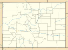
 Mount Harvard
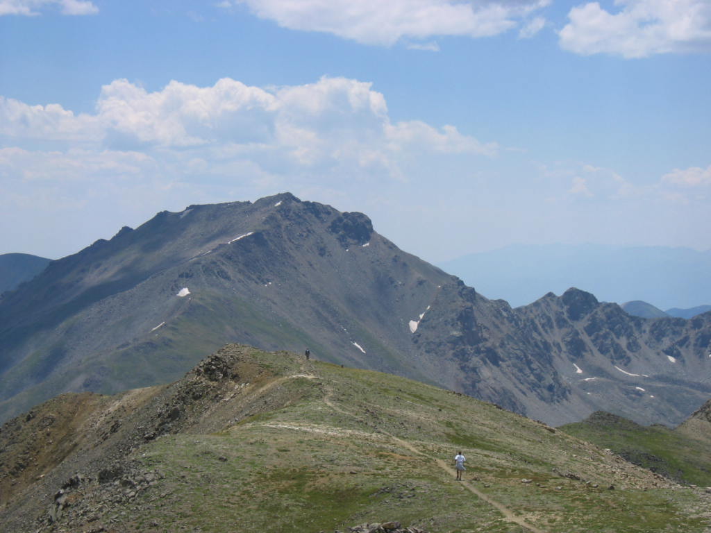
Location Chaffee County, Colorado, USA Range Sawatch Range, Collegiate Peaks Coordinates 38°55′28″N 106°19′15″W / 38.92444°N 106.32083°WCoordinates: 38°55′28″N 106°19′15″W / 38.92444°N 106.32083°W[1] Topo map USGS Mount Harvard Climbing First ascent August 19, 1869 (first recorded) Easiest route Hike Mount Harvard is a fourteener in the U.S. state of Colorado. It is the third highest mountain in Colorado, and also the fourth highest mountain in the Contiguous United States. It is located in the Collegiate Peaks, part of the central Sawatch Range of Chaffee County, approximately 10 miles (16 km) northwest of the town of Buena Vista.
History
Mount Harvard was named in 1869 by members of the first Harvard Mining School class, while on expedition with professor Josiah Dwight Whitney, the namesake of Mount Whitney. The same group named the peak next to Harvard Mount Yale, after Whitney's alma mater. The group climbed Yale first, and estimated that it was over 14,000 feet in height. On August 19, 1869, the first recorded ascent of Harvard was made by expedition members S. F. Sharpless and William M. Davis. Harvard and Yale were the first 14,000 foot mountains in the Sawatch range to be named after universities. Later, nearby mountains were named for Princeton, Columbia, and Oxford, leading to the name "Collegiate Peaks" for this part of the Sawatch Range.
The Pole
In 1962, three Harvard men attempted to erect a fourteen foot metal pole on the top of Harvard, with a sign that read "Mt. Harvard, 14,434. This sign erected at an altitude of 14,434 making it the second highest point in the contiguous United States." Before they could reach the top of the mountain darkness set in, and the group was forced to abandon the pole a few hundred yards short of the summit. The next year, two Harvard men (Tim Wirth, who later represented Colorado's Second Congressional District and then served a term in the U.S. Senate, and his brother John), along with a Cornell graduate carried the pole the extra distance, and completed the task. The pole sat on the mountain for roughly twenty years, until it disappeared at some time in the 1980s, most likely as part of an effort to clean up Colorado's Fourteeners.
See also
References
- ^ a b "Harvard". NGS data sheet. U.S. National Geodetic Survey. http://www.ngs.noaa.gov/cgi-bin/ds_mark.prl?PidBox=JL0879. Retrieved 2011-02-23.
- ^ "Mount Harvard, Colorado". Peakbagger.com. http://www.peakbagger.com/peak.aspx?pid=5754. Retrieved 2011-02-23.
External links
- Mount Harvard on 14ers.com
- Mount Harvard on Distantpeak.com
- Mount Harvard on Summitpost
- Photo Journal of a Hike up Mount Harvard
- Mount Harvard on Colorado Fourteener Initiative
- Topographic map from USGS via Microsoft Research Maps
Categories:- Fourteeners of Colorado
- Geography of Chaffee County, Colorado

Wikimedia Foundation. 2010.