- Coshocton, Ohio
-
Coshocton, Ohio — City — Location of Coshocton, Ohio
Coordinates: 40°16′4″N 81°51′24″W / 40.26778°N 81.85667°WCoordinates: 40°16′4″N 81°51′24″W / 40.26778°N 81.85667°W Country United States State Ohio County Coshocton Government – Mayor Steven D. Mercer Area – Total 7.6 sq mi (19.7 km2) – Land 7.5 sq mi (19.4 km2) – Water 0.1 sq mi (0.3 km2) Elevation[1] 771 ft (235 m) Population (2000) – Total 11,682 – Density 1,562.1/sq mi (603.1/km2) Time zone Eastern (EST) (UTC-5) – Summer (DST) EDT (UTC-4) ZIP code 43812 Area code(s) 740 FIPS code 39-18868[2] GNIS feature ID 1056840[1] Website http://www.coshoctoncityhall.com/  Restored canal boat
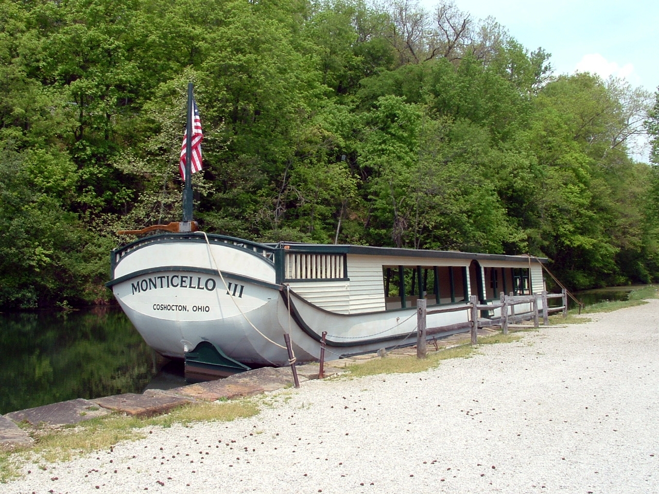
Coshocton (
 /kəˈʃɒktən/)[3] is a city in and the county seat of Coshocton County, Ohio, United States.[4] The population of the city was 11,682 at the 2000 census. The Walhonding River and the Tuscarawas River meet in Coshocton to form the Muskingum River.
Coshocton contains the restored canal theme town of Roscoe Village. It is a heritage tourist attraction showcasing the area's unique canal history, and is situated next to the former Ohio and Erie Canal.
Contents
History
By the late 1770s, Coshocton had become the principal Lenape (Delaware) village in the Ohio Country. Many Lenape had been forced to cede their lands in Pennsylvania and New Jersey, and had migrated to Ohio Country from their traditional territory on the East Coast. In addition, they were under pressure by warfare from the Iroquois pressing down from their traditional base in present-day New York.
Chief Newcomer founded Coshocton, moving his people west from their former principal settlement of Gekelmukpechunk (called Newcomerstown after the chief by the few white traders and settlers there.) Most of the latter's Lenape population of 700 followed Newcomer. Coshockton was across the Tuscarawas River from Conchake, the former site of a Wyandot village. By then the Wyandot had migrated northwest, in part of a movement of numerous tribes.
The western Lenape were split in their alliances during the American Revolutionary War. Those who allied with the British moved further west to the Sandusky River area. From there the British and Lenape raided colonial frontier settlements.
Those Lenape sympathetic to the new United States stayed near Coshocton. Chief Newcomer signed the Fort Pitt Treaty of 1778, by which the Lenape hoped to secure their safety during the War, and promised scouts and support to the colonists. They also hoped to lay the base for a Native American state in the new nation.
In retaliation for frontier raids by hostile Lenape and British, Colonel Daniel Brodhead of the American militia ignored the treaty and destroyed the Lenape at Coshocton in April 1781.[5]
After the Revolutionary War, the Ohio Country was opened to European-American settlement. They were mostly farmers in the early years, but development and greater trade accompanied the opening of the Erie Canal in 1824 across New York State. It provided transportation for farm products to eastern markets.
To improve their transportation of goods and people, residents of Ohio supported construction of the Ohio and Erie Canal. This enabled the transport of coal mined in the region, its most important resource commodity. In addition, the canal supported transport of goods manufactured by local industries that developed in the 19th century with the availability of coal.
Geography
Coshocton is located at 40°16′4″N 81°51′24″W / 40.26778°N 81.85667°W (40.267786, -81.856628)[6].
According to the United States Census Bureau, the city has a total area of 7.6 square miles (20 km2), of which, 7.5 square miles (19 km2) of it is land and 0.1 square miles (0.26 km2) of it (1.45%) is water.
Demographics
Historical populations Census Pop. %± 1850 850 — 1860 1,151 35.4% 1870 1,754 52.4% 1880 3,044 73.5% 1890 3,672 20.6% 1900 6,473 76.3% 1910 9,603 48.4% 1920 10,847 13.0% 1930 10,908 0.6% 1940 11,569 6.1% 1950 11,675 0.9% 1960 13,106 12.3% 1970 13,747 4.9% 1980 13,418 −2.4% 1990 12,193 −9.1% 2000 11,682 −4.2% Est. 2008 11,353 −2.8% As of the census[2] of 2000, there were 11,682 people, 5,048 households, and 3,160 families residing in the city. The population density was 1,562.1 people per square mile (603.0/km²). There were 5,471 housing units at an average density of 731.6 per square mile (282.4/km²). The racial makeup of the city was 96.05% White, 1.63% African American, 0.16% Native American, 0.79% Asian, 0.02% Pacific Islander, 0.33% from other races, and 1.03% from two or more races. Hispanic or Latino of any race were 0.59% of the population.
There were 5,048 households out of which 28.0% had children under the age of 18 living with them, 48.5% were married couples living together, 10.8% had a female householder with no husband present, and 37.4% were non-families. 33.5% of all households were made up of individuals and 17.7% had someone living alone who was 65 years of age or older. The average household size was 2.27 and the average family size was 2.87.
In the city the population was spread out with 23.2% under the age of 18, 7.6% from 18 to 24, 25.5% from 25 to 44, 23.6% from 45 to 64, and 20.1% who were 65 years of age or older. The median age was 41 years. For every 100 females there were 86.1 males. For every 100 females age 18 and over, there were 82.2 males.
The median income for a household in the city was $31,098, and the median income for a family was $42,088. Males had a median income of $31,163 versus $22,130 for females. The per capita income for the city was $17,436. About 6.8% of families and 8.3% of the population were below the poverty line, including 7.3% of those under age 18 and 6.4% of those age 65 or over.
Economy
Coshocton lies in a coal-producing region. This has long been the fuel for numerous factories manufacturing a variety of items. Coshocton is famous for being the birthplace of the advertising "specialty" industry, i.e., the design and manufacture of small items bearing the names of advertisers, such as calendars, pens, rulers, ornaments, refrigerator magnets, etc.
Notable residents
- Alan Abel - American prankster, writer, mockumentary filmmaker, and jazz percussionist famous for several hoaxes that became minor media circuses
- Bob Brenly - Major League catcher for the San Francisco Giants, manager of the 2001 Arizona Diamondbacks World Series Champions, Broadcaster for the Chicago Cubs
- William Wallace Burns - Union army general
- William Green - second president of the American Federation of Labor, serving from 1924–1952
- Mike McCullough - PGA and Champions Tour Golfer
- Noah Haynes Swayne - US Supreme Court Justice from 1862–1881
- Vesta Williams[7] - R&B singer
- Danielle Peck - Country Music Artist
References
- ^ a b "US Board on Geographic Names". United States Geological Survey. 2007-10-25. http://geonames.usgs.gov. Retrieved 2008-01-31.
- ^ a b "American FactFinder". United States Census Bureau. http://factfinder.census.gov. Retrieved 2008-01-31.
- ^ "A Pronunciation Guide to Places in Ohio". E.W.Scripps School of Journalism. http://scrippsjschool.org/pronunciation/. Retrieved 2008-12-19.
- ^ "Find a County". National Association of Counties. http://www.naco.org/Counties/Pages/FindACounty.aspx. Retrieved 2011-06-07.
- ^ Tanner, Helen Hornbeck; Adele Hast, Jacqueline Peterson, Robert J. Surtees, Miklos Pinther (1987). Atlas of Great Lakes Indian History. University of Oklahoma Press. pp. 72, 81. ISBN 0-8061-2056-8.
- ^ "US Gazetteer files: 2010, 2000, and 1990". United States Census Bureau. 2011-02-12. http://www.census.gov/geo/www/gazetteer/gazette.html. Retrieved 2011-04-23.
- ^ "R&B Singer Vesta Williams Found Dead at 53" ABC News 2011-9-23 http://abcnews.go.com/Entertainment/wireStory/rb-singer-vesta-williams-found-dead-53-14592110
External links
- hyper local community website
- City website
- Coshocton Tribune website
- Richard Downing Airport website
- Roscoe Village Website
Municipalities and communities of Coshocton County, Ohio County seat: CoshoctonCity Coshocton

Villages Baltic‡ | Conesville | Nellie | Plainfield | Warsaw | West Lafayette
Townships Unincorporated
communitiesBakersville | Blissfield | Fresno | Keene | Tunnel Hill | Wakatomika | Walhonding
Footnotes ‡This populated place also has portions in an adjacent county or counties
Categories:- Cities in Ohio
- Populated places in Coshocton County, Ohio
- County seats in Ohio
- Micropolitan areas of Ohio
- Muskingum River


Wikimedia Foundation. 2010.