- Connecticut Route 130
-
Route 130

Route information Maintained by ConnDOT Length: 8.21 mi[1] (13.21 km) Existed: 1992 – present Major junctions West end:  US 1 in Fairfield
 I-95 in Bridgeport
I-95 in StratfordEast end: US 1 in StratfordHighway system Routes in Connecticut
Special Service Roads • State Roads←  Route 128
Route 131  →
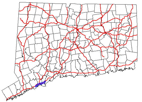
→Route 130 is a state highway in southwestern Connecticut, running from Fairfield to Stratford, generally parallel to I-95.
Contents
Route description
Route 130 begins at an intersection with US 1 in Fairfield and heads east into Bridgeport. In Bridgeport, it intersects I-95, then passes under Route 8 and I-95 twice without junctions before crossing into Stratford. In Stratford, it passes under I-95 again without a junction before intersecting I-95 a second and ending at another intersection with US 1.[1]
Special designations
Route 130 is designated the A.W. Penn Memorial Highway from the Fairfield-Bridgeport town line to State Street.[1]
History


In 1922, state roads were given number designations in New England for the first time. Modern Route 130 was originally part of New England Route 1. In 1927, the U.S. Highway system was created and New England Route 1 became part of U.S. Route 1. In 1932, an alternate route of US 1 (U.S. Route 1A) was designated along North Avenue, Boston Avenue and Barnum Avenue further inland (now modern US 1). In 1963, US 1A in the Bridgeport area was deleted and re-designated as US 1. The original US 1 alignment along Fairfield Avenue, State Street and Stratford Avenue became unsigned state roads, with designations SR 771 (Fairfield-Bridgeport) and SR 769 (Bridgeport-Stratford). In 1992, these were re-designated as modern Route 130.[2]
Junction list
Town Road names Junction Milepost Fairfield
(0.49 miles)[1]Post Road US 10.00-0.05 Bridgeport
(5.25 miles)Fairfield Avenue, State Street, Water Street, Stratford Avenue, Connecticut Avenue
(Includes one-way couplet between Stratford and Connecticut Avenues) I-95 (Access from I-95 only; to access I-95 use Pine Street eastbound and Commerce Drive westbound)[3]1.96  Route 127
4.18 Begin one-way couplet 4.65 Stratford
(2.47 miles)Stratford Avenue, Connecticut Avenue, Ferry Boulevard
(Includes one-way couplet between Stratford and Connecticut Avenues)End one-way couplet 5.76  Route 113
7.06 I-958.05-8.14 US 18.21 References
Categories:- Transportation in Fairfield County, Connecticut
- State highways in Connecticut


Wikimedia Foundation. 2010.