- Mantua, Ohio
-
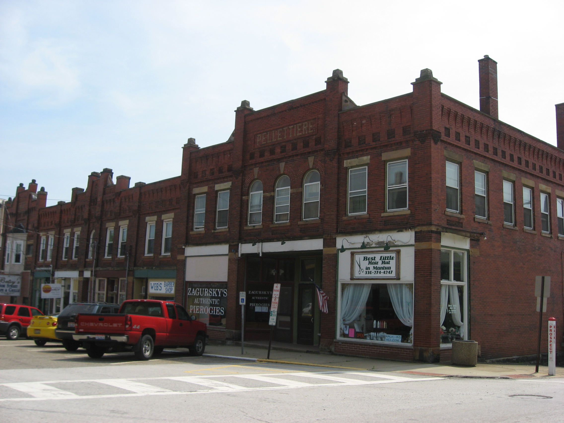
Mantua, Ohio — Village — Businesses in the Mantua Station Brick Commercial District Location of Mantua, Ohio
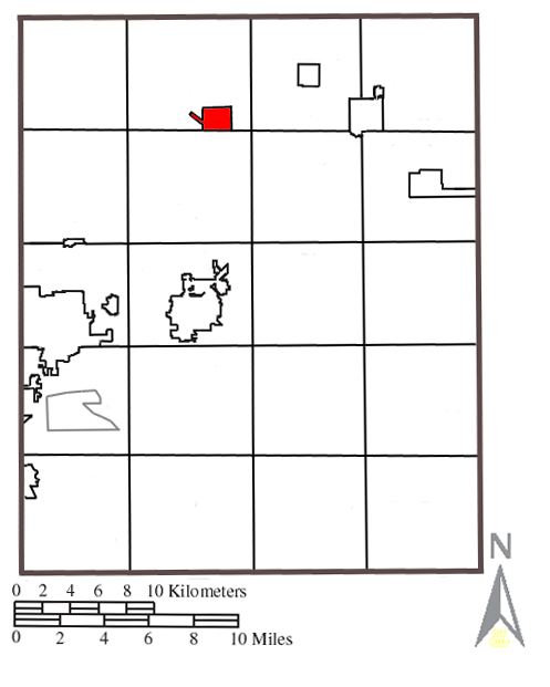
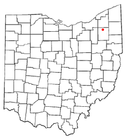 Location within Portage County
Coordinates: 41°17′1″N 81°13′23″W / 41.28361°N 81.22306°WCoordinates: 41°17′1″N 81°13′23″W / 41.28361°N 81.22306°W Country United States State Ohio County Portage Area – Total 1.4 sq mi (3.6 km2) – Land 1.4 sq mi (3.6 km2) – Water 0.0 sq mi (0.0 km2) Elevation[1] 1,148 ft (350 m) Population (2000) – Total 1,046 – Density 743.4/sq mi (287.0/km2) Time zone Eastern (EST) (UTC-5) – Summer (DST) EDT (UTC-4) ZIP code 44255 Area code(s) 330 FIPS code 39-47180[2] GNIS feature ID 1061147[1] Mantua (
 /ˈmænəweɪ/ man-ə-way) is a village in Portage County, Ohio, United States. It was formed from portions of Mantua Township in the Connecticut Western Reserve. The population was 1,046 at the 2000 census. It is part of the Akron Metropolitan Statistical Area.
Contents
History
Mantua includes three properties on the National Register of Historic Places: the Horace L. Hine House, the Mantua Station Brick Commercial District, and the William H. Crafts House.[3]
Geography
Mantua is located at 41°17′01″N 81°13′23″W / 41.283705°N 81.222973°W.[4]
According to the United States Census Bureau, the village has a total area of 1.4 square miles (3.6 km2), all of it land. The Cuyahoga River flows through the southern part of the village.
Demographics
As of the census[2] of 2000, there were 1,046 people, 440 households, and 278 families residing in the village. The population density was 743.4 people per square mile (286.4/km2). There were 452 housing units at an average density of 321.2 per square mile (123.8/km2). The racial makeup of the village was 98.85% White, 0.29% African American, 0.10% Native American, 0.19% Asian, and 0.57% from two or more races. Hispanic or Latino of any race were 0.57% of the population.
There were 440 households out of which 28.9% had children under the age of 18 living with them, 49.3% were married couples living together, 9.5% had a female householder with no husband present, and 36.6% were non-families. 29.5% of all households were made up of individuals and 11.6% had someone living alone who was 65 years of age or older. The average household size was 2.38 and the average family size was 2.96.
In the village the population was spread out with 23.3% under the age of 18, 10.5% from 18 to 24, 31.2% from 25 to 44, 22.3% from 45 to 64, and 12.7% who were 65 years of age or older. The median age was 36 years. For every 100 females there were 89.5 males. For every 100 females age 18 and over, there were 92.3 males.
The median income for a household in the village was $49,519, and the median income for a family was $56,125. Males had a median income of $35,288 versus $22,500 for females. The per capita income for the village was $19,472. About 4.9% of families and 3.4% of the population were below the poverty line, including 4.3% of those under age 18 and 1.8% of those age 65 or over.
Education
For public education, Mantua is part of the Crestwood Local School District, which also includes Mantua Township, most of Shalersville Township, the village of Hiram, and western Hiram Township. Two of the district's four school facilities, Crestwood High School (grades 9 to 12) and Crestwood Middle School (grades 6 to 8), and the district offices are located in Mantua while the two elementary-level buildings, Crestwood Intermediate School (grades 3 to 5) and Crestwood Primary School (grades K to 2) are located nearby in Mantua Township.
Community events
Mantua hosts the Potato Festival, a celebration that has occurred annually for over 30 years. The festival features live entertainment, food, rides, a parade, a 15k marathon (the Potato Stomp), and varying special attractions. Past special events included the world's largest serving of mashed potatoes and gravy (they were "mashed" in a cement mixer), and Spud Wrestling (mud wrestling in a massive ring full of mashed potatoes).
The Ox Roast is another annual event that is a fund-raiser for the St. Joseph Church.
Notable natives and residents
- Old Grandma Hardcore, known for her interest in video games
- Jack Lambert, a former NFL linebacker enshrined in the Pro Football Hall of Fame
- Brent Simon, Internet icon and musician
References
- ^ a b "US Board on Geographic Names". United States Geological Survey. 2007-10-25. http://geonames.usgs.gov. Retrieved 2008-01-31.
- ^ a b "American FactFinder". United States Census Bureau. http://factfinder.census.gov. Retrieved 2008-01-31.
- ^ National Register listings for Portage County, Ohio
- ^ "US Gazetteer files: 2010, 2000, and 1990". United States Census Bureau. 2011-02-12. http://www.census.gov/geo/www/gazetteer/gazette.html. Retrieved 2011-04-23.
External links
Municipalities and communities of Portage County, Ohio Cities Aurora | Kent | Ravenna | Streetsboro | Tallmadge‡

Villages Brady Lake | Garrettsville | Hiram | Mantua | Mogadore‡ | Sugar Bush Knolls | Windham
Townships CDP Unincorporated
communitiesFootnotes ‡This populated place also has portions in an adjacent county or counties
Categories:- Villages in Ohio
- Populated places in Portage County, Ohio
- Akron metropolitan area


Wikimedia Foundation. 2010.