- Srbobran
-
Srbobran
Србобран
Szenttamás— Municipality and Town — A view of Srbobran

Coat of armsLocation of the municipality of Srbobran within Serbia
Coordinates: 45°34′N 19°48′E / 45.567°N 19.8°E Country Serbia District South Bačka Settlements 3 Government – Mayor Branko Gajin Area[1] – Municipality 284 km2 (109.7 sq mi) Population (2011 census)[2] – Town 13,091 – Municipality 17,855 Time zone CET (UTC+1) – Summer (DST) CEST (UTC+2) Postal code 21480 Area code +381 21 Car plates NS Srbobran (Serbian Cyrillic: Србобран, IPA: [sr̩̂bɔbraːn]) is a town and municipality in South Bačka District of Vojvodina, Serbia. The town is located on the north bank of the Danube-Tisa-Danube channel. Srbobran town has a population of 13,049, and Srbobran municipality 17,786.
Contents
Name
 A square in Srbobran and Orthodox church
 Catholic Church
 Map of Srbobran municipality
In Serbian, the town is known as Srbobran (Србобран); in Hungarian as Szenttamás or Szrbobran; in Rusyn (a Cyrillic-only language) as /Србобран/; in Croatian as Sveti Tomo[citation needed], Senttomaš[citation needed] or Srbobran; in Slovak as Srbobran; and in German as Thomasberg. The name Srbobran means "Serbs's defender" in Serbian. Older Serbian name used for the town was Sentomaš (Сентомаш).
History
According to archeology, there was human settlement in the territory of present-day Srbobran in the prehistoric times. The first written record about the settlement is from 1338, in which the Srbobran is mentioned under name Sentomas, which means Saint Thomas, i.e. the apostle Thomas, who was the patron saint of a monastery and of the village around it in the Middle Ages. During this time, the area was under administration of the medieval Kingdom of Hungary and was part of the Bacsensis County. This village, together with the monastery, became destroyed during the Ottoman conquest in the 16th century. Its former population left the region and fled towards North to Habsburg Royal Hungary. During the Ottoman administration, the settlement of Sentomaš was rebuilt and was populated by ethnic Serbs. It was part of the Ottoman Sanjak of Segedin.
After the Bačka region was captured by Habsburg troops led by Prince Eugene of Savoy in the end of the 17th century, a settlement was included into Habsburg Monarchy and was populated by new colonists, mainly by ethnic Serbs from the South, but also (since the second half of the 18th century) by ethnic Hungarians from the North, who became the second largest ethnic group in the settlement (after Serbs). The settlement was part of the Military Frontier until 1751, when it came under the civil administration. A document from 1751 indicates that besides name Sentomaš, the name Srbograd (Serb Town) was also used as a non-official denomination for the town. The development of the town was fast; in 1787 its population was 3,532, while in 1836 this number rose to 11,321. From 1751, the town was part of the Theiss District within the Batsch-Bodrog County and the Habsburg Kingdom of Hungary.
The name Srbobran dates from the time of 1848/1849 revolutions in the Habsburg Monarchy, but was officially used since 1918. In 1848-1849, the town was part of Serbian Voivodship, a Serbian autonomous region within the Austrian Empire. The Serbian defense line was located near this town, hence the name Srbobran, which means "Serbs's defender". On July 14, 1848, the first siege of the town by Hungarian forces began under Baron Fülöp Berchtold who was forced to retreat due to a strong Serbian defense. The Hungarian troops captured Sentomaš for the fourth trial, on April 4, 1849, and burned the town to the ground. Having suppressed the Hungarian anti-Habsburg movement (in 1849), Austrian authorities established a new province to which Sentomaš belonged to: the Voivodeship of Serbia and Banat of Temeschwar, which existed until 1860. In 1850, the population of Sentomaš was 5,630 people, which was only about half of the population recorded in 1836. After abolishment of the voivodeship in 1860, Sentomaš was again included into the Batsch-Bodrog County. Since the establishment of the dual Monarchy of Austria-Hungary in 1867, the town was located within the Hungarian part of the Monarchy. According to the official census of 1910, Sentomaš had 14,335 inhabitants, among them 7,808 (54.47%) spoke Serbian language, 6,031 (42.07%) spoke Hungarian language, and 430 (3%) spoke German language.
Sentomaš became part of the Kingdom of Serbs, Croats and Slovenes (which is called Yugoslavia since 1929) in 1918 and was officially named Srbobran. In 1918-1919, the town was part of the Banat, Bačka and Baranja region and also (between 1918 and 1922) part of the Novi Sad County. Between 1922 and 1929 it was part of Belgrade Oblast, and between 1929 and 1941 part of Danube Banovina. In 1941, the town was occupied by the Axis Powers and was attached to the Horthy's Hungary. In 1944, the Soviet Red Army and Yugoslav partisans expelled Axis troops from the region, and Srbobran was included into the autonomous province of Vojvodina within new socialist Yugoslavia. Since 1945, Vojvodina is part of the People's Republic of Serbia within Yugoslavia. Until 1950s, Srbobran was part of the Bečej municipality, but then separate municipality of Srbobran was established. During the Yugoslav wars of the 1990s, some Serb refugees came from Croatia, Bosnia and Herzegovina, and Kosovo, and settled in Srbobran.
Municipality
Srbobran municipality encompasses of town of Srbobran, and 2 villages: Nadalj and Turija.
Demographics
Ethnic groups in the municipality
According to the 2002 census, the population of the Srbobran municipality is composed of:
All of the three settlements in the municipality have an ethnic Serb majority.
Ethnic groups in the town
In 2002, Srbobran town has a population of 13,091, including:
- Serbs = 7,838 (59.87%)
- Hungarians = 3,715 (28.38%)
- Others.
Historical population of the town
- 1961: 14,391
- 1971: 14,189
- 1981: 13,596
- 1991: 12,798
Languages
Serbian and Hungarian language are officially used by municipal authorities.[3]
Politics
2004 elections
Seats in the municipal parliament won in the 2004 local elections: [1]
- Serbian Radical Party (9)
- Group of citizens "For better Srbobran" (3)
- Democratic Party (3)
- Group of citizens "Alliance for municipality of Srbobran" (3)
- Socialist Party of Serbia (2)
- Together for Vojvodina (2)
- Alliance of Vojvodina Hungarians (2)
- Serbian Strength Movement (2)
- Serbian Renewal Movement (1)
- G17 Plus (1)
2008 elections
Results of 2008 local elections:[4]
- Citizen group (46.38%)
- Serbian Radical Party (22.78%)
- Hungarian Coalition (7.80%)
- Coalition LSV - SPO (7.45%)
- Democratic Party (5.57%)
- Socialist Party of Serbia (3.86%)
- "Kao Jedna Kuća" Party (2.47%)
- Liberal Democratic Party (2.25%)
- Coalition DSS - NS (1.44%)
Transport
Town is located near to the M22 motorway between Belgrade and Subotica. There are two national highways that run through the town, highways 3 and 22. These three important routes make the town an important transport link.
Highway 3 runs west to Sombor, and east to Bečej. Highway 22 runs to Budapest in Hungary to the north changing to Highway 5 in Hungary, and to Ribarice, near the Central Serbia-Kosovo border.
Architecture
There are two notable buildings in Srbobran, both of which are churches (one is Serb Orthodox, the other one is Roman Catholic) and both are built in highly sophisticated late baroque style.
Famous citizens
- Members of wealthy Dunđerski family were buried in town's cemetery, including the famous beauty Lenka Dunđerski, which was a tragic love of poet Laza Kostić.
- Srbobran is the birthplace of Nándor Gion (1941–2002), one of the most-known Hungarian writers, who was born and mostly lived in the region of Vojvodina. In his books, he describes, first of all, his home-town, "Szenttamás", during the tragic years of world war periods.
- Serbian poet Stevan Vladislav Kaćanski was born in Srbobran.
See also
- List of places in Serbia
- List of cities, towns and villages in Vojvodina
References
- Slobodan Ćurčić, Broj stanovnika Vojvodine, Novi Sad, 1996.
- Slobodan Ćurčić, Naselja Bačke - geografske karakteristike, Novi Sad, 2007.
Notes
- ^ "Municipalities of Serbia, 2006". Statistical Office of Serbia. http://webrzs.stat.gov.rs/axd/en/Zip/OG2006webE.zip. Retrieved 2010-11-28.
- ^ "2011 Census of Population, Households and Dwellings in the Republic of Serbia – FIRST RESULTS". Bulletin (Statistical Office of the Republic of Serbia) 540. 2011. ISSN 0354-3641. http://media.popis2011.stat.rs/2011/prvi_rezultati.pdf. Retrieved 2011-11-21.
- ^ (in Serbian) Statut opštine Srbobran, 8. July 2008, p. 1, http://www.ombudsman.rs/pravamanjina/attachments/Srbobran%20-%20STATUT.pdf
- ^ http://webrzs.stat.gov.rs/WebSite/repository/documents/00/00/19/85/Lokalni_izbori_2008.pdf
External links
- Official website of Srbobran
- www.srbobran.co.nr
- Srbobran on Vojvodina.com
- History of Srbobran (Hungarian)
- Official website of Radio Srbobran
Municipalities and cities of Serbia Central Serbia Belgrade (Barajevo • Čukarica • Grocka • Lazarevac • Mladenovac • Novi Beograd • Obrenovac • Palilula • Rakovica • Savski Venac • Sopot • Stari Grad • Surčin • Voždovac • Vračar • Zemun • Zvezdara) • Čačak • Jagodina • Kragujevac (Aerodrom • Pivara • Stanovo • Stari Grad • Stragari) • Kraljevo • Kruševac • Leskovac • Loznica • Niš (Crveni Krst • Medijana • Niška Banja • Palilula • Pantelej) • Novi Pazar • Požarevac • Smederevo • Šabac • Užice • Valjevo • Vranje • Zaječar Aleksandrovac • Aleksinac • Aranđelovac • Arilje • Babušnica • Bajina Bašta • Batočina • Bela Palanka • Blace • Bogatić • Bojnik • Boljevac • Bor • Bosilegrad • Brus • Bujanovac • Crna Trava • Čajetina • Ćićevac • Ćuprija • Despotovac • Dimitrovgrad • Doljevac • Gadžin Han • Golubac • Gornji Milanovac • Ivanjica • Kladovo • Knić • Knjaževac • Koceljeva • Kosjerić • Krupanj • Kučevo • Kuršumlija • Lajkovac • Lapovo • Lebane • Lučani • Ljig • Ljubovija • Majdanpek • Mali Zvornik • Malo Crniće • Medveđa • Merošina • Mionica • Negotin • Nova Varoš • Osečina • Paraćin • Petrovac • Pirot • Požega • Preševo • Priboj • Prijepolje • Prokuplje • Rača • Raška • Ražanj • Rekovac • Sjenica • Smederevska Palanka • Sokobanja • Surdulica • Svilajnac • Svrljig • Topola • Trgovište • Trstenik • Tutin • Ub • Varvarin • Velika Plana • Veliko Gradište • Vladičin Han • Vladimirci • Vlasotince • Vrnjačka Banja • Žabari • Žagubica • Žitorađa
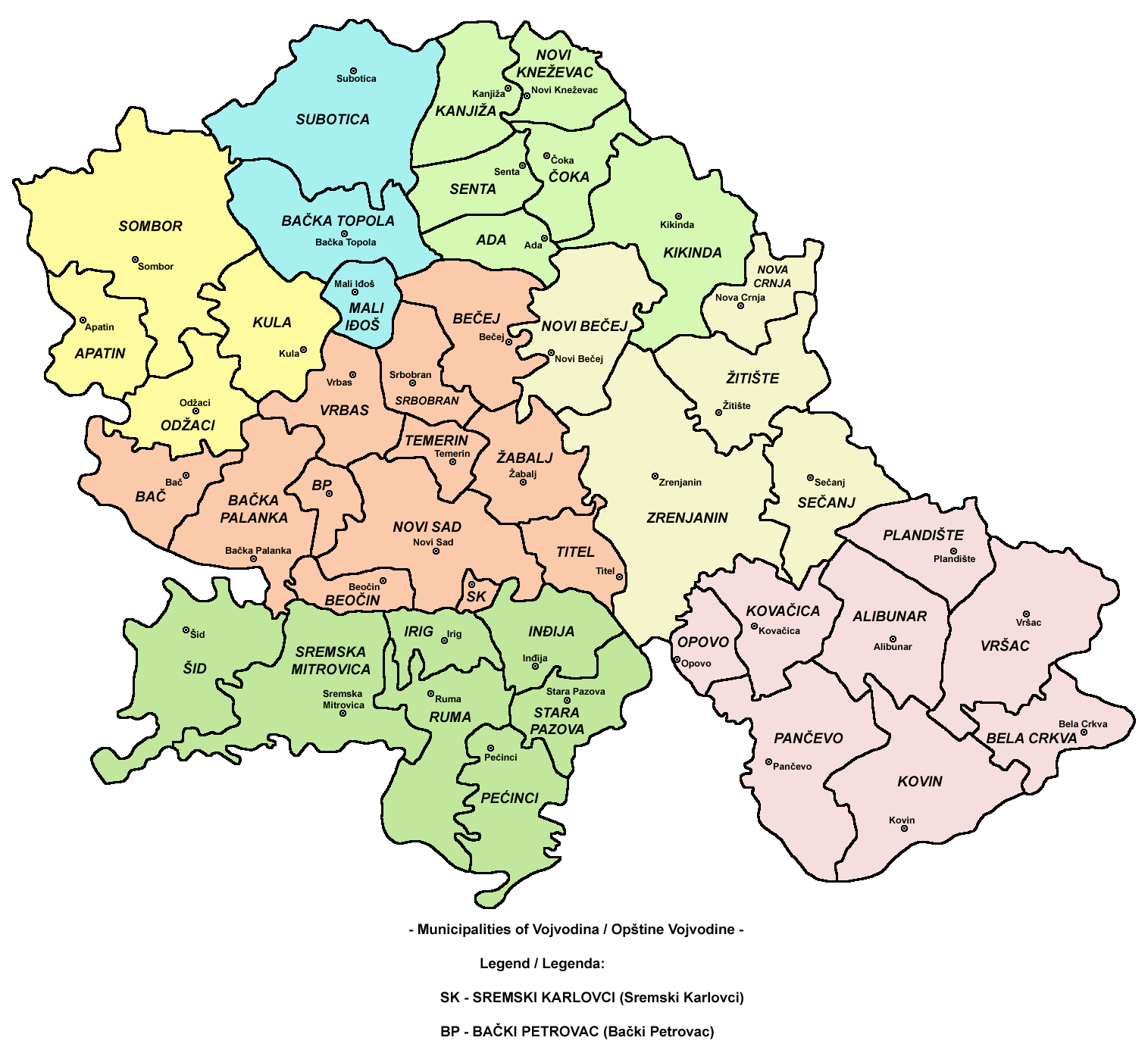
Vojvodina  Ada • Alibunar • Apatin • Bač • Bačka Palanka • Bačka Topola • Bački Petrovac • Bečej • Bela Crkva • Beočin • Čoka • Inđija • Irig • Kanjiža • Kikinda • Kovačica • Kovin • Kula • Mali Iđoš • Nova Crnja • Novi Bečej • Novi Kneževac • Odžaci • Opovo • Pećinci • Plandište • Ruma • Sečanj • Senta • Šid • Srbobran • Sremski Karlovci • Stara Pazova • Temerin • Titel • Vrbas • Vršac • Žabalj • Žitište
Kosovo Dečani • Đakovica • Dragaš • Glogovac • Gnjilane • Istok • Kačanik • Klina • Kosovo Polje • Kosovska Kamenica • Kosovska Mitrovica • Leposavić • Lipljan • Mališevo • Novo Brdo • Obilić • Orahovac • Peć • Podujevo • Priština • Prizren • Štimlje • Srbica • Štrpce • Suva Reka • Uroševac • Vitina • Vučitrn • Zubin Potok • Zvečan New Municipalities: Đeneral Janković • Gračanica • Junik • Klokot-Vrbovac • Mamuša • Parteš • RanilugPlanned Municipality: North Kosovska MitrovicaCategories:
- Places in Bačka
- Populated places in Vojvodina
- Municipalities of Vojvodina
- South Bačka District
- Srbobran


Wikimedia Foundation. 2010.