- Newkirk, Oklahoma
-
"Newkirk" redirects here; there is also Newkirk Township, Michigan.
Newkirk, Oklahoma — City — Location of Newkirk, Oklahoma
Coordinates: 36°52′59″N 97°3′21″W / 36.88306°N 97.05583°WCoordinates: 36°52′59″N 97°3′21″W / 36.88306°N 97.05583°W Country United States State Oklahoma County Kay Area – Total 1.3 sq mi (3.4 km2) – Land 1.3 sq mi (3.4 km2) – Water 0.0 sq mi (0.0 km2) Elevation 1,152 ft (351 m) Population (2000) – Total 2,243 – Density 1,728.5/sq mi (667.4/km2) Time zone Central (CST) (UTC-6) – Summer (DST) CDT (UTC-5) ZIP code 74647 Area code(s) 580 FIPS code 40-51300[1] GNIS feature ID 1095856[2] Newkirk is a city in Kay County, Oklahoma, United States. The population was 2,243 at the 2000 census. It is the county seat of Kay County[3].
Contents
Geography
Newkirk is located at 36°52′59″N 97°3′21″W / 36.88306°N 97.05583°W (36.883083, -97.055750)[4]. According to the United States Census Bureau, the city has a total area of 1.3 square miles (3.4 km2), all of it land.
Newkirk's elevation is 1,152 feet. The town is on mostly flat terrain with no large watercourses nearby. Newkirk is situated at the boundary between two eco-regions: the Central Great Plains and the Flint Hills. West of the town in the Great Plains the countryside is rich agricultural land, especially for wheat, soybeans, and cattle. East of town the terrain in the Flint Hills is more rugged and rocky and is primarily utilized for cattle ranching. Natural vegetation is mostly prairie, but stream valleys often have fine forests of cottonwood, oak, elm, ash, pecan,sycamore, and other species. Scrub oak and Red Cedar dot many hillsides. Wildlife is abundant, including whitetail deer, turkey, bobwhite quail, coyote, bobcat, and waterfowl. A mountain lion attack on a person seven miles east of Newkirk was reported in 2002[5]
 Main Street Newkirk, Oklahoma. The grain elevator towers over the town.
One mile east of Newkirk is a casino and other facilities owned by the Kaw Indian tribe. Six miles east of town is the Arkansas River. The bridge across the river crosses the upper end of Kaw Lake. Near the river are the Deer Creek/Bryson Paddock Sites where archaeologists have excavated the ruins of two prominent 18th century Wichita Indian villages. Beyond the river, continuing east, is the picturesque, lightly populated, Tallgrass prairie region with many large ranches. Locals call this region “The Osage” after Osage County, Oklahoma and the Osage Indians. Two miles north of Newkirk is the Washunga cemetery of the Kaw Indians which was moved here to avoid having it covered by water when a dam created Kaw Lake. Seven miles north is the Chilocco Indian Agricultural School, now closed.
Climate.The climate of Newkirk can be described as extreme Continental with an average low temperature in January of 20 degrees F (-7 C) and an average high temperature in July of 92 F (33 C). Winter temperatures sometimes fall below zero (-18 C) and 100 degree (38 C) days are common in summer. Average precipitation is 37 inches (96 mm) per year, but highly variable. May and June are the wettest month on average and the winter months of December, January, and February are the driest[6] Tornados are common in the region although Newkirk has never suffered major damage.
History
Newkirk is located on land known as the Cherokee Strip which belonged to the Cherokee Indians. In 1893, the Cherokee sold the land to the United States government. The land was opened to White settlement by means of the Cherokee Strip Land Run on September 16, 1893. More than 100,000 people raced to claim plots of land.
The town of Newkirk had been laid out before the Run by the government as the county seat of “K” county. It was named Lamoreaux after Silas W. Lamoreaux who was Commissioner of the General Land Office.[7] Two miles north of Lamoreaux was “Kirk” a station of the Santa Fe Railroad.
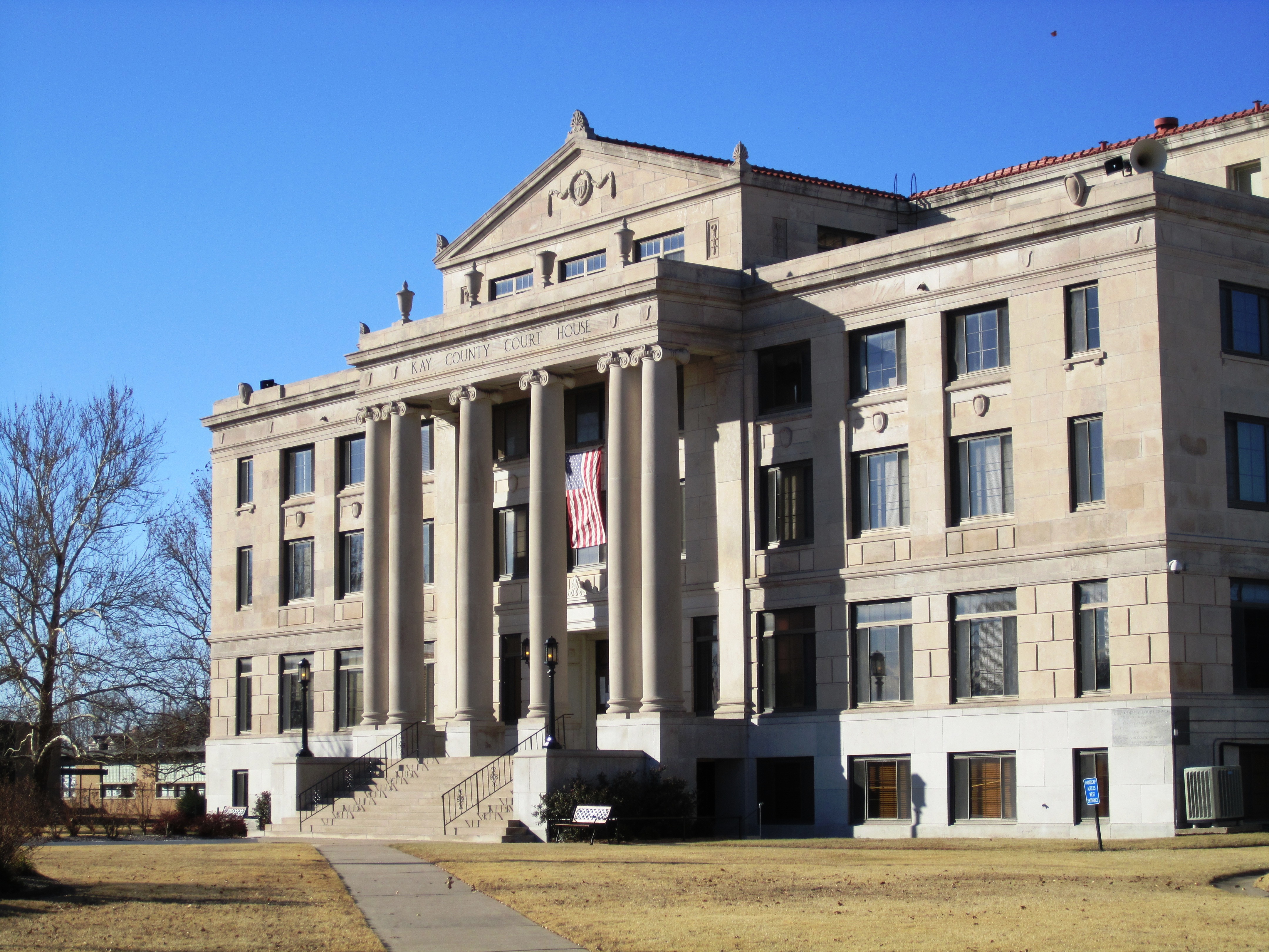
That first day of the Land Run, 5,000 people staked claims in and near Lamoreaux. Claimants were allowed two town lots: one for a home and one for a business. In designated rural areas claimants could select 160 acres. The population quickly dropped to about 2,100 as disappointed land seekers left. A town government was organized and among the first items of business was to change the name of the town from Lamoreaux to Santa Fe. The railroad, however, did not approve the name as several other places were named Santa Fe. Meanwhile, the railroad station at Kirk had been closed and so the name “Newkirk.” was chosen on November 8, 1893.[8] In 1901, Newkirk suffered a major reverse when nearly a whole block of its thriving downtown burned. The wood buildings that burned were mostly replaced with stone buildings from the distinctive yellow limestone quarried four miles east of Newkirk. “Imposing stone buildings began to give dignity and permanence to the dusty streets while wood-frame homes gradually replaced the “proving-up” homes of the Run. Young Elms, Cottonwoods, shrubs, and flowers began to change the once treeless prairies into shaded garden spots.”[9] Newkirk’s business district was placed on the National Register as a historic district in 1984.[10]

Newkirk was also the name of the town in the movie Twister where the drive in movie scene took place. Even though it wasn't filmed in Newkirk, but in Guthrie, Oklahoma, the directors took the name from this town.
Demographics
As of the census[1] of 2000, there were 2,243 people, 928 households, and 607 families residing in the city. The population density was 1,728.5 people per square mile (666.2/km²). There were 1,024 housing units at an average density of 789.1 per square mile (304.1/km²). The racial makeup of the city was 83.73% White, 1.20% African American, 8.69% Native American, 0.13% Asian, 0.85% from other races, and 5.39% from two or more races. Hispanic or Latino of any race were 2.10% of the population.
There were 928 households out of which 30.1% had children under the age of 18 living with them, 50.3% were married couples living together, 11.7% had a female householder with no husband present, and 34.5% were non-families. 31.4% of all households were made up of individuals and 16.6% had someone living alone who was 65 years of age or older. The average household size was 2.35 and the average family size was 2.94.
In the city the population was spread out with 25.0% under the age of 18, 9.0% from 18 to 24, 24.5% from 25 to 44, 23.8% from 45 to 64, and 17.8% who were 65 years of age or older. The median age was 39 years. For every 100 females there were 98.7 males. For every 100 females age 18 and over, there were 92.0 males.
The median income for a household in the city was $27,941, and the median income for a family was $38,125. Males had a median income of $28,984 versus $19,315 for females. The per capita income for the city was $14,971. About 11.0% of families and 16.4% of the population were below the poverty line, including 25.1% of those under age 18 and 10.5% of those age 65 or over.
References
- ^ a b "American FactFinder". United States Census Bureau. http://factfinder.census.gov. Retrieved 2008-01-31.
- ^ "US Board on Geographic Names". United States Geological Survey. 2007-10-25. http://geonames.usgs.gov. Retrieved 2008-01-31.
- ^ "Find a County". National Association of Counties. http://www.naco.org/Counties/Pages/FindACounty.aspx. Retrieved 2011-06-07.
- ^ "US Gazetteer files: 2010, 2000, and 1990". United States Census Bureau. 2011-02-12. http://www.census.gov/geo/www/gazetteer/gazette.html. Retrieved 2011-04-23.
- ^ http://www.cougarinfo.org/attacks3.htm, accessed Nov 19, 2010
- ^ http://www.weather.com/outlook/homeandgarden/home/wxclimatology/monthly/graph/USOK0384, accessed Nov 19, 2010
- ^ ”History of Newkirk, Oklahoma” http://www.newkirkchamber.com/newkirkHistory.htm, accessed Nov 19, 2010
- ^ North Central Oklahoma: Rooted in the Past, Growing for the Future. Ponca City, OK: North Central Oklahoma Historical Society, Vol. One, pp. H-78-79; http://www.newkirkchamber.com/newkirkHistory.htm, accessed Nov 19,2010
- ^ North Central Oklahoma, p. 83; accessed Nov 18, 2010
- ^ http://www.newkirkchamber.com/newkirkHistory.htm, accessed Nov 19, 2010
External links
Municipalities and communities of Kay County, Oklahoma County seat: NewkirkCities Blackwell | Kaw City | Newkirk | Ponca City‡ | Tonkawa

Towns Unincorporated
communitiesBois D'Arc | Chilocco | Eddy | Hardy | Nardin | Peckham | White Eagle
Ghost towns Autwine | Washunga
Footnotes ‡This populated place also has portions in an adjacent county or counties
County seats in Oklahoma Ada • Altus • Alva • Anadarko • Antlers • Arapaho • Ardmore • Arnett • Atoka • Bartlesville • Beaver • Boise City • Buffalo • Chandler • Chelsea • Cherokee • Cheyenne • Chickasha • Claremore • Coalgate • Duncan • Durant • El Reno • Enid • Eufaula • Fairview • Frederick • Guthrie • Guymon • Hobart • Holdenville • Hollis • Hugo • Idabel • Jay • Kingfisher • Lawton • Madill • Mangum • Marietta • McAlester • Medford • Miami • Muskogee • New Cordell • Newkirk • Nowata • Okemah • Oklahoma City • Okmulgee • Pauls Valley • Pawhuska • Pawnee • Perry • Poteau • Pryor • Purcell • Sallisaw • Sapulpa • Sayre • Shawnee • Stigler • Stillwater • Stilwell • Sulphur • Tahlequah • Taloga • Tishomingo • Tulsa • Vinita • Wagoner • Walters • Watonga • Waurika • Wewoka • Wilberton •
WoodwardCategories:- Cities in Oklahoma
- Populated places in Kay County, Oklahoma
- County seats in Oklahoma


Wikimedia Foundation. 2010.