Old Kent Road railway station
- Old Kent Road railway station
-

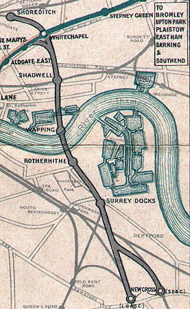
A map 1915 showing the location of the station near the bottom of the map
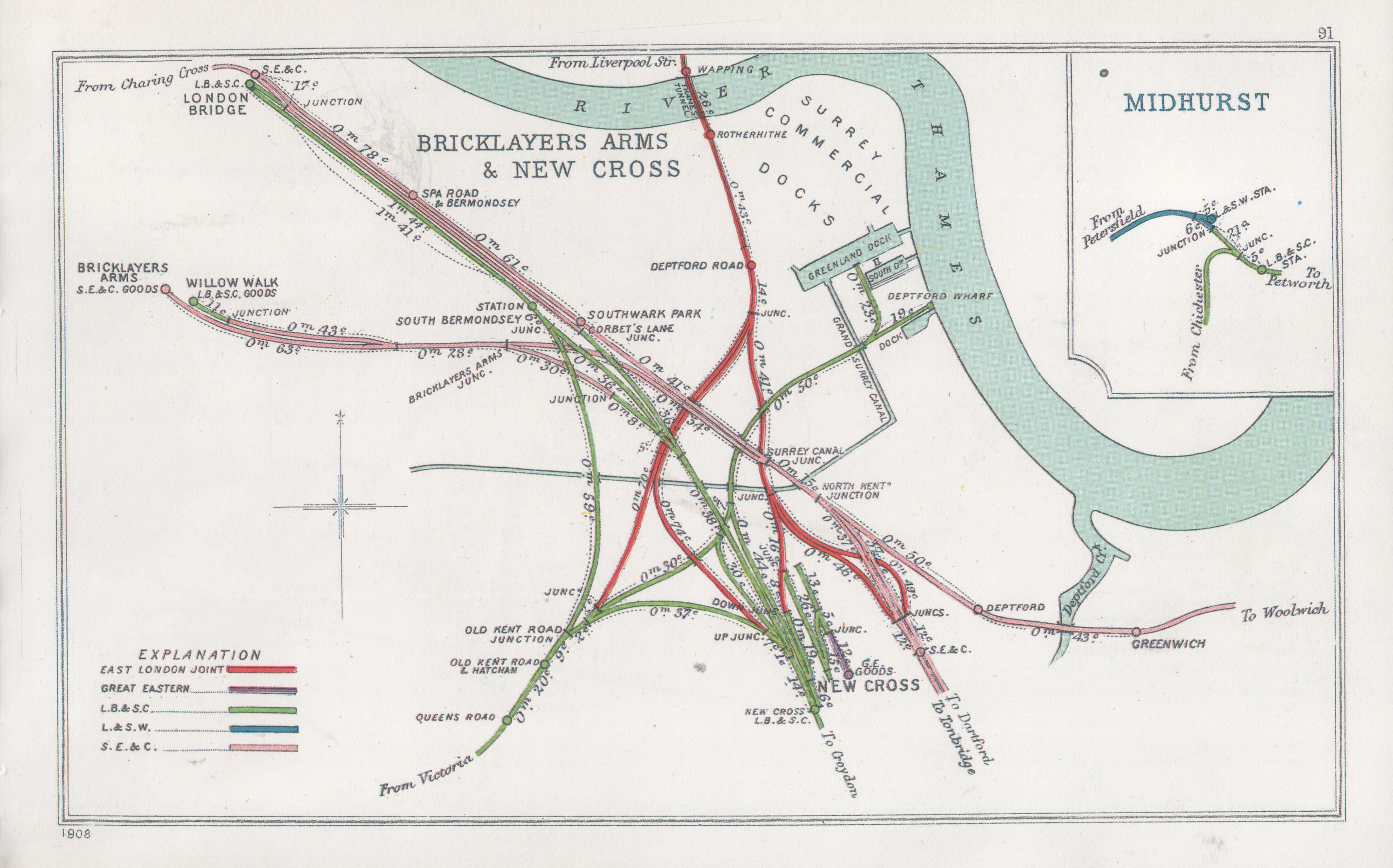
Old Kent Road railway station was a station in South London. It opened on 13 July 1866 on a viaduct and bridge crossing the road at a junction with a line to London Bridge and what became Surrey Quays tube station on the East London Line and Queen's Road Peckham railway station on the Inner South London Line. It was later renamed "Old Kent Road and Hatcham". It was operated by the London, Brighton and South Coast Railway. It closed on 1 January 1917.
Future

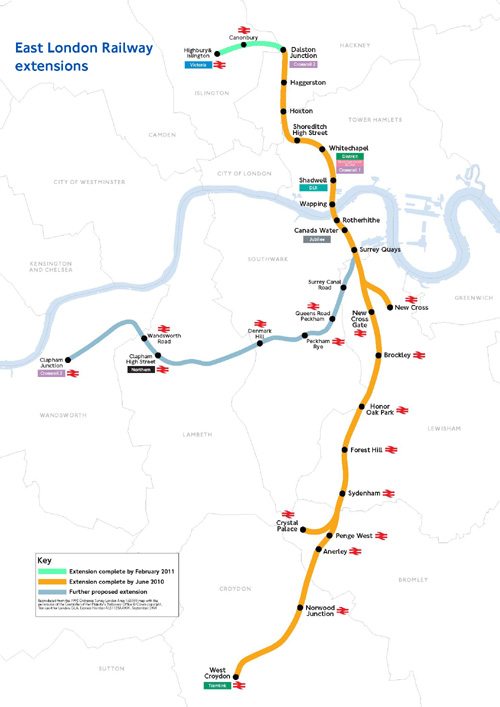
East London Line Extension plans.
The proposed extension to the East London Line with the spur re-opened will allow through services to Clapham Junction for the first time in roughly a century. A new station, Surrey Canal Road, was proposed to be about 700 metres north of the site of Old Kent Road station but funding has not been agreed.[1][2]
References
Coordinates: 51°28′44″N 0°03′14″W / 51.47881°N 0.05402°W / 51.47881; -0.05402
Categories:
- Railway stations opened in 1866
- Railway stations closed in 1917
- Disused railway stations in Southwark
- London railway station stubs
Wikimedia Foundation.
2010.
Look at other dictionaries:
Old Oak Common railway station — Crossrail Interchange Proposed location … Wikipedia
Old Kent Road — See also: A2 road (Great Britain) Old Kent Road street sign. The Old Kent Road is a road in South East London, England and forms part of Watling Street, the Roman road which ran from Dover to Holyhead. The street is famous as the equal cheapest… … Wikipedia
Connaught Road railway station — Connaught Road Location Place Royal Docks History Opened by Eastern Counties Railway Key dates Opened 1880 Closed 1940 Replaced by … Wikipedia
Morden Road railway station — Morden Road Location Place Merton Park Local authority Merton History Opened by Wimbledon and Croydon Railway Platforms 1 … Wikipedia
Coborn Road railway station — Coborn Road Location Place Bow History Opened by Great Eastern Railway Platforms 2 Key dates Opened 1865 Closed 1946 … Wikipedia
Queens Road Peckham railway station — Infobox London station name = Queen s Road Peckham manager = Southern zone = 2 locale = Peckham borough = London Borough of Southwark start = 13 August 1866 platforms = 2 railexits0405 = 0.388 railexits0506 = 0.387 railexits0607 = 0.692 railcode … Wikipedia
Old Ford railway station — Old Ford Location Place Old Ford History Opened by North London Railway Key dates Opened 1850 Closed 1944 Replaced by no … Wikipedia
Chelsea and Fulham railway station — Coordinates: 51°28′49″N 0°11′15″W / 51.48028°N 0.1875°W / 51.48028; 0.1875 … Wikipedia
Railway station layout — A railway station is a place where trains make scheduled stops. Stations usually have one or more platforms constructed alongside a line of railway. However, railway stations come in many different configurations influenced by such factors as the … Wikipedia
Primrose Hill railway station — Primrose Hill The station in 1986 Location Place Primrose Hill … Wikipedia

