- Champenard
-
Champenard

 ChampenardLocation within Upper Normandy region
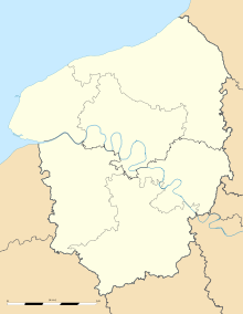 Champenard
Administration Country France Region Upper Normandy Department Eure Arrondissement Les Andelys Canton Gaillon-Campagne Intercommunality Eure-Madrie-Seine Mayor Bernard Franceschini
(2008–2014)Statistics Elevation 110–136 m (360–446 ft)
(avg. 133 m/436 ft)Land area1 2.32 km2 (0.90 sq mi) Population2 195 (2008) - Density 84 /km2 (220 /sq mi) INSEE/Postal code 27142/ 27600 1 French Land Register data, which excludes lakes, ponds, glaciers > 1 km² (0.386 sq mi or 247 acres) and river estuaries. 2 Population without double counting: residents of multiple communes (e.g., students and military personnel) only counted once. Coordinates: 49°06′25″N 1°20′04″E / 49.1069444444°N 1.33444444444°E
Champenard is a commune in the Eure department in Haute-Normandie in northern France.
Population
Historical population of Champenard 1962 1968 1975 1982 1990 1999 2008 91 102 108 107 129 140 195 See also
References
Categories:- Communes of Eure
- Eure geography stubs


Wikimedia Foundation. 2010.