- Dravosburg, Pennsylvania
-
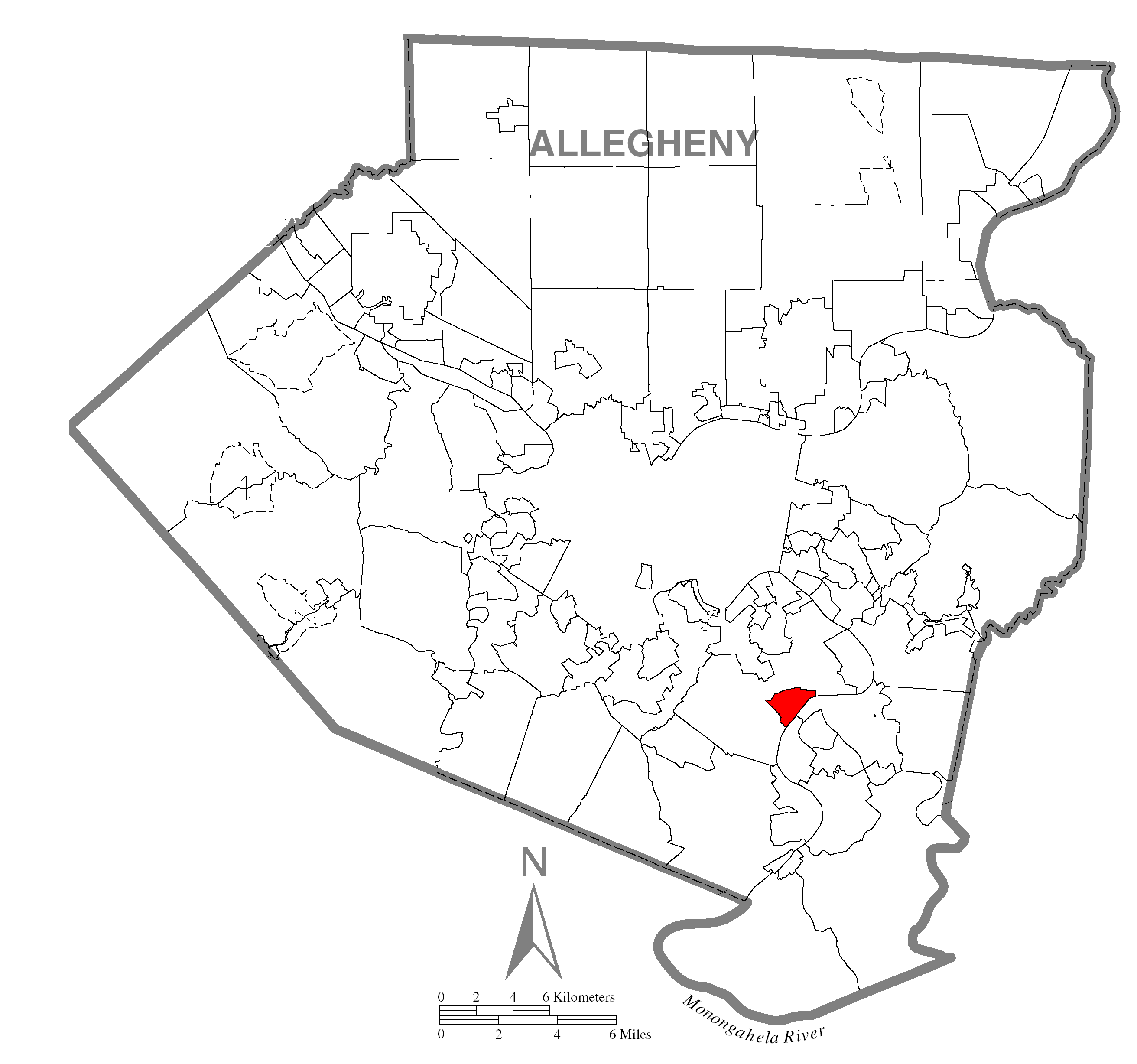
Dravosburg — Borough — Location within Allegheny county Location within the state of Pennsylvania
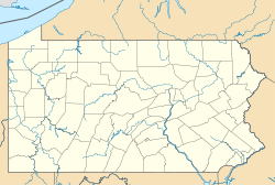
 Dravosburg
Coordinates: 40°21′1″N 79°53′22″W / 40.35028°N 79.88944°WCoordinates: 40°21′1″N 79°53′22″W / 40.35028°N 79.88944°W Country United States State Pennsylvania County Allegheny Area – Total 1.1 sq mi (2.8 km2) – Land 1.0 sq mi (2.6 km2) – Water 0.1 sq mi (0.3 km2) Population (2010) – Total 1,792 – Density 1,629.1/sq mi (629/km2) Time zone Eastern (EST) (UTC-5) – Summer (DST) EDT (UTC-4) ZIP codes FIPS code GNIS feature ID Dravosburg is a borough in Allegheny County, Pennsylvania, United States, and is part of the Pittsburgh Metro Area. The population was 1,792 at the 2010 census.[1] Dravosburg is located along the Monongahela River.
Contents
Geography
Dravosburg is located at 40°21′1″N 79°53′22″W / 40.35028°N 79.88944°W (40.350219, -79.889391).[2]
According to the United States Census Bureau, the borough has a total area of 1.1 square miles (2.8 km2), of which 1.0 square mile (2.6 km2) is land and 0.1 square miles (0.26 km2), or 9.73%, is water.
Surrounding and adjacent neighborhoods
Dravosburg is bounded on the north, west and south by West Mifflin. To the east is the Monongahela River and the city of McKeesport. The city of Duquesne is also close by.
Demographics
As of the census[3] of 2000, there were 2,015 people, 948 households, and 563 families residing in the borough. The population density was 1,981.8 people per square mile (762.7/km²). There were 1,021 housing units at an average density of 1,004.2 per square mile (386.5/km²). The racial makeup of the borough was 98.71% White, 0.50% African American, 0.25% Native American, 0.25% from other races, and 0.30% from two or more races. Hispanic or Latino of any race were 0.60% of the population.
There were 948 households out of which 22.6% had children under the age of 18 living with them, 47.0% were married couples living together, 9.6% had a female householder with no husband present, and 40.6% were non-families. 36.8% of all households were made up of individuals and 18.6% had someone living alone who was 65 years of age or older. The average household size was 2.13 and the average family size was 2.77.
In the borough the population was spread out with 18.5% under the age of 18, 7.2% from 18 to 24, 28.0% from 25 to 44, 26.6% from 45 to 64, and 19.7% who were 65 years of age or older. The median age was 42 years. For every 100 females there were 84.0 males. For every 100 females age 18 and over, there were 83.3 males.
The median income for a household in the borough was $30,461, and the median income for a family was $39,663. Males had a median income of $30,435 versus $22,232 for females. The per capita income for the borough was $17,264. About 7.5% of families and 12.6% of the population were below the poverty line, including 17.7% of those under age 18 and 8.4% of those age 65 or over.
References
- ^ "Race, Hispanic or Latino, Age, and Housing Occupancy: 2010 Census Redistricting Data (Public Law 94-171) Summary File (QT-PL), Dravosburg borough, Pennsylvania". U.S. Census Bureau, American FactFinder 2. http://factfinder2.census.gov. Retrieved September 19, 2011.
- ^ "US Gazetteer files: 2010, 2000, and 1990". United States Census Bureau. 2011-02-12. http://www.census.gov/geo/www/gazetteer/gazette.html. Retrieved 2011-04-23.
- ^ "American FactFinder". United States Census Bureau. http://factfinder.census.gov. Retrieved 2008-01-31.
Categories:- Populated places established in 1903
- Pittsburgh metropolitan area
- Boroughs in Allegheny County, Pennsylvania


Wikimedia Foundation. 2010.