- Martagny
-
Martagny

 MartagnyLocation within Upper Normandy region
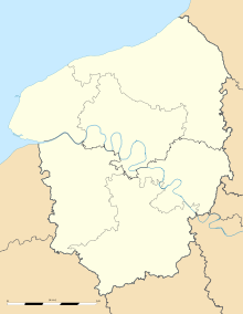 Martagny
Administration Country France Region Upper Normandy Department Eure Arrondissement Les Andelys Canton Gisors Intercommunality Canton de Gournay-en-Bray Mayor Laurent Lainé
(2008–2014)Statistics Elevation 95–177 m (312–581 ft)
(avg. 121 m/397 ft)Land area1 4.38 km2 (1.69 sq mi) Population2 143 (2008) - Density 33 /km2 (85 /sq mi) INSEE/Postal code 27392/ 27150 1 French Land Register data, which excludes lakes, ponds, glaciers > 1 km² (0.386 sq mi or 247 acres) and river estuaries. 2 Population without double counting: residents of multiple communes (e.g., students and military personnel) only counted once. Coordinates: 49°23′45″N 1°39′37″E / 49.3958333333°N 1.66027777778°E
Martagny is a commune in the Eure department in Haute-Normandie in northern France.
Population
Historical population of Martagny 1793 1800 1806 1821 1831 1836 1841 1846 1851 1856 348 333 409 409 416 429 449 450 425 386 1861 1866 1872 1876 1881 1886 1891 1896 1901 1906 393 372 311 295 254 278 253 251 215 204 1911 1921 1926 1931 1936 1946 1954 1962 1968 1975 189 154 260 176 172 174 150 131 102 94 1982 1990 1999 2008 89 94 120 143 See also
References
Categories:- Communes of Eure
- Eure geography stubs


Wikimedia Foundation. 2010.