- Montigny-sur-Chiers
-
Montigny-sur-Chiers

 Montigny-sur-ChiersLocation within Lorraine region
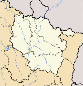 Montigny-sur-Chiers
Administration Country France Region Lorraine Department Meurthe-et-Moselle Arrondissement Briey Canton Longuyon Intercommunality Communauté de communes des Deux Rivières Mayor Jean-Claude Brinster
(2008–2014)Statistics Elevation 217–351 m (712–1,152 ft) Land area1 9.36 km2 (3.61 sq mi) Population2 443 (1999) - Density 47 /km2 (120 /sq mi) INSEE/Postal code 54378/ 54870 1 French Land Register data, which excludes lakes, ponds, glaciers > 1 km² (0.386 sq mi or 247 acres) and river estuaries. 2 Population without double counting: residents of multiple communes (e.g., students and military personnel) only counted once. Coordinates: 49°28′49″N 5°40′12″E / 49.4802777778°N 5.67°E
Montigny-sur-Chiers is a commune in the Meurthe-et-Moselle department in north-eastern France.
See also
Categories:- Communes of Meurthe-et-Moselle
- Meurthe-et-Moselle geography stubs


Wikimedia Foundation. 2010.