- Mont-l'Étroit
-
Mont-l’Étroit

 Mont-l’ÉtroitLocation within Lorraine region
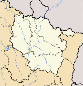 Mont-l’Étroit
Administration Country France Region Lorraine Department Meurthe-et-Moselle Arrondissement Toul Canton Colombey-les-Belles Intercommunality Communauté de communes du Pays de Colombey-les-Belles et du Sud Toulois Mayor Patrick Crosnier
(2008–2014)Statistics Elevation 286–427 m (938–1,401 ft)
(avg. 389 m/1,276 ft)Land area1 6.42 km2 (2.48 sq mi) Population2 87 (1999) - Density 14 /km2 (36 /sq mi) INSEE/Postal code 54379/ 54170 1 French Land Register data, which excludes lakes, ponds, glaciers > 1 km² (0.386 sq mi or 247 acres) and river estuaries. 2 Population without double counting: residents of multiple communes (e.g., students and military personnel) only counted once. Coordinates: 48°29′56″N 5°47′08″E / 48.4988888889°N 5.78555555556°E
Mont-l'Étroit is a commune in the Meurthe-et-Moselle department in north-eastern France.
See also
Categories:- Communes of Meurthe-et-Moselle
- Meurthe-et-Moselle geography stubs


Wikimedia Foundation. 2010.