- Mhère
-
Mhère

 MhèreLocation within Burgundy region
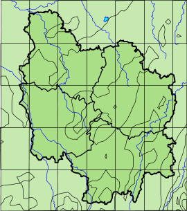 Mhère
MhèreAdministration Country France Region Burgundy Department Nièvre Arrondissement Clamecy Canton Corbigny Intercommunality Pays Corbigeois Mayor Henri Taché
(2001–2008)Statistics Elevation 255–550 m (837–1,800 ft) Land area1 25.25 km2 (9.75 sq mi) Population2 279 (1999) - Density 11 /km2 (28 /sq mi) INSEE/Postal code 58166/ 58140 1 French Land Register data, which excludes lakes, ponds, glaciers > 1 km² (0.386 sq mi or 247 acres) and river estuaries. 2 Population without double counting: residents of multiple communes (e.g., students and military personnel) only counted once. Coordinates: 47°12′29″N 3°51′24″E / 47.20806°N 3.85667°E
Mhère is a commune in the Nièvre department in central France.
According to the Institut Géographique National, between 1 January 2007 and 1 January 2008, Mhère was the geographic centre of the Eurozone, after its enlargement to Slovenia[1]. With the admission of Cyprus and Malta, this centre was moved to Ouroux-en-Morvan.
Contents
Demographics
At the 1999 census, the population was 279. On 1 January 2004, the estimate was 291.
See also
- Communes of the Nièvre department
- Parc naturel régional du Morvan
References
Notes
Categories:- Communes of Nièvre
- Nièvre geography stubs


Wikimedia Foundation. 2010.