- Menomblet
-
Menomblet

 MenombletLocation within Pays de la Loire region
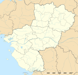 Menomblet
Administration Country France Region Pays de la Loire Department Vendée Arrondissement Fontenay-le-Comte Canton Châtaigneraie Intercommunality Pays de la Châtaigneraie Mayor Olivier Bazireau
(2008–2014)Statistics Elevation 127–215 m (417–705 ft) Land area1 20.95 km2 (8.09 sq mi) Population2 672 (2006) - Density 32 /km2 (83 /sq mi) INSEE/Postal code 85141/ 85700 1 French Land Register data, which excludes lakes, ponds, glaciers > 1 km² (0.386 sq mi or 247 acres) and river estuaries. 2 Population without double counting: residents of multiple communes (e.g., students and military personnel) only counted once. Coordinates: 46°43′57″N 0°42′38″W / 46.7325°N 0.710555555556°W
Menomblet is a commune in the Vendée department in the Pays de la Loire region in western France.
Geography
The river Lay forms most of the commune's southern border.
See also
References
Categories:- Communes of Vendée
- Vendée geography stubs


Wikimedia Foundation. 2010.