- Montbizot
-
Montbizot

 MontbizotLocation within Pays de la Loire region
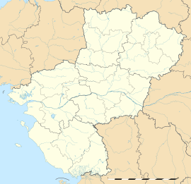 Montbizot
Administration Country France Region Pays de la Loire Department Sarthe Arrondissement Le Mans Canton Ballon Intercommunality Communauté de communes des Portes du Maine Mayor Alain Besnier
(2008–2014)Statistics Elevation 49–91 m (161–299 ft) Land area1 11.38 km2 (4.39 sq mi) Population2 1,528 (2006 [1]) - Density 134 /km2 (350 /sq mi) INSEE/Postal code 72205/ 72380 1 French Land Register data, which excludes lakes, ponds, glaciers > 1 km² (0.386 sq mi or 247 acres) and river estuaries. 2 Population without double counting: residents of multiple communes (e.g., students and military personnel) only counted once. Coordinates: 48°08′52″N 0°11′01″E / 48.1477777778°N 0.183611111111°E
Montbizot is a commune in the Sarthe department in the region of Pays-de-la-Loire in north-western France.
See also
References
- ^ http://www.insee.fr/fr/ppp/bases-de-donnees/recensement/populations-legales/departement.asp?dep=72#dep_B Populations légales 2006 publiées par l’INSEE le 1er janvier 2009
Categories:- Communes of Sarthe
- Sarthe geography stubs


Wikimedia Foundation. 2010.