- Douglass Township, Montgomery County, Pennsylvania
-
For other Pennsylvania townships of the same name, see Douglass Township, Pennsylvania (disambiguation).
Douglass Township Township Country United States State Pennsylvania County Montgomery Elevation 459 ft (139.9 m) Coordinates 40°22′36″N 75°34′29″W / 40.37667°N 75.57472°W Area 15.4 sq mi (39.9 km2) - land 15.4 sq mi (40 km2) - water 0.0 sq mi (0 km2), 0% Population 10,195 (2010) Density 593.4 / sq mi (229.1 / km2) Established 1741 Timezone EST (UTC-5) - summer (DST) EDT (UTC-4) Area code 610  Location of Douglass Township in Montgomery County
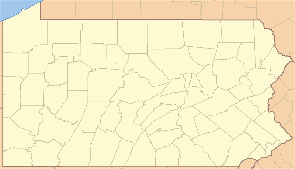
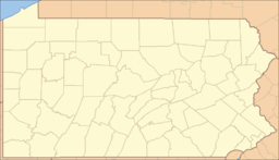
 Location of Douglass Township in Pennsylvania
 Location of Pennsylvania in the United States
Website: http://www.douglasstownship.org Douglass Township is a township in Montgomery County, Pennsylvania, United States. The population was 10,195 at the 2010 census.
Contents
Geography
According to the United States Census Bureau, the township has a total area of 15.4 square miles (40 km2), all of it land. It is drained by the Schuylkill River via the Perkiomen Creek. Its villages include Congo, Englesville (also in Berks County,) Gilbertsville, Niantic, and Sassamansville (also in New Hanover Township.) Its prinicpal routes are Route 73 east-to-west and Route 100 north-to-south. These meet at an interchange in Gilbertsville and other major local roads include Congo Road, Congo-Niantic Road, County Line Road, Gilbertsville Road, Hoffmansville Road, Niantic Road, and Swamp Pike.
Neighboring municipalities
- Upper Hanover Township (northeast)
- New Hanover Township (southeast)
- Upper Pottsgrove Township (south)
- Douglass Township, Berks County (southwest)
- Colebrookdale Township, Berks County (west)
- Washington Township, Berks County (northwest)
Demographics
Historical populations Census Pop. %± 1930 1,705 — 1940 1,913 12.2% 1950 2,046 7.0% 1960 3,083 50.7% 1970 4,177 35.5% 1980 5,833 39.6% 1990 7,048 20.8% 2000 9,104 29.2% 2010 10,195 12.0% www.dvrpc.org/data/databull/rdb/db82/appedixa.xls As of the 2010 census, the township was 96.0% White, 1.0% Black or African American, 0.3% Native American, 1.1% Asian, and 1.2% were two or more races. 1.8% of the population were of Hispanic or Latino ancestry [1].
As of the census[1] of 2000, there were 9,104 people, 3,211 households, and 2,552 families residing in the township. The population density was 593.4 people per square mile (229.1/km²). There were 3,292 housing units at an average density of 214.6/sq mi (82.9/km²). The racial makeup of the township was 97.77% White, 0.77% African American, 0.08% Native American, 0.71% Asian, 0.02% Pacific Islander, 0.14% from other races, and 0.51% from two or more races. Hispanic or Latino of any race were 0.47% of the population.
There were 3,211 households out of which 41.8% had children under the age of 18 living with them, 66.6% were married couples living together, 9.0% had a female householder with no husband present, and 20.5% were non-families. 16.9% of all households were made up of individuals and 7.4% had someone living alone who was 65 years of age or older. The average household size was 2.83 and the average family size was 3.20.
In the township the population was spread out with 29.3% under the age of 18, 6.3% from 18 to 24, 31.0% from 25 to 44, 22.8% from 45 to 64, and 10.7% who were 65 years of age or older. The median age was 37 years. For every 100 females there were 97.8 males. For every 100 females age 18 and over, there were 91.9 males.
The median income for a household in the township was $55,679, and the median income for a family was $62,404. Males had a median income of $45,728 versus $25,461 for females. The per capita income for the township was $22,476. About 2.7% of families and 2.8% of the population were below the poverty line, including 2.4% of those under age 18 and 4.9% of those age 65 or over.
Government and politics
Presidential elections results Year Republican Democrat 2008 52.0% 2,485 47.2% 2,258 2004 59.1% 2,655 40.2% 1,808 2000 57.6% 1,835 39.1% 1,244 1996 49.1% 1,307 36.2% 964 1992 43.8% 1,106 30.2% 763 Legislators
- State Representative Marcy Toepel, Republican, 147th district
- State Senator John Rafferty, Jr., Republican, 44th district
- US Representative Charlie Dent, Republican, 15th district
Board of Supervisors
- Fred Ziegler, Chairman
- Gregory Lignelli
- Tim Turner
References
- ^ "American FactFinder". United States Census Bureau. http://factfinder.census.gov. Retrieved 2008-01-31.
External links
Categories:- Townships in Montgomery County, Pennsylvania


Wikimedia Foundation. 2010.