- Byrdstown, Tennessee
Infobox Settlement
official_name = Byrdstown, Tennessee
settlement_type =Town
nickname =
motto =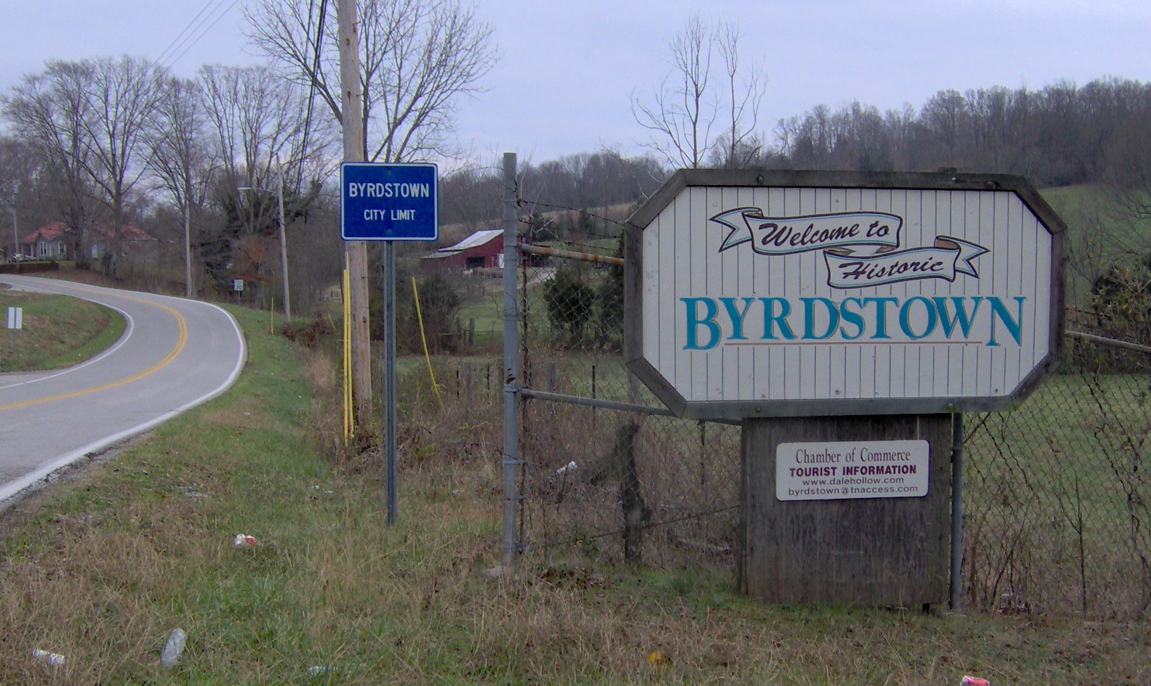
imagesize = 250px
image_caption =
image_
mapsize = 250x200px
map_caption = Location of Byrdstown, Tennessee
mapsize1 =
map_caption1 =subdivision_type = Country
subdivision_name =United States
subdivision_type1 = State
subdivision_name1 =Tennessee
subdivision_type2 = County
subdivision_name2 = Pickettgovernment_footnotes =
government_type =
leader_title =
leader_name =
leader_title1 =
leader_name1 =
established_title =
established_date =unit_pref = Imperial
area_footnotes =area_magnitude =
area_total_km2 = 4.0
area_land_km2 = 4.0
area_water_km2 = 0.0
area_total_sq_mi = 1.5
area_land_sq_mi = 1.5
area_water_sq_mi = 0.0population_as_of = 2000
population_footnotes =
population_total = 903
population_density_km2 = 226.8
population_density_sq_mi = 587.5timezone = Central (CST)
utc_offset = -6
timezone_DST = CDT
utc_offset_DST = -5
elevation_footnotes =
elevation_m = 313
elevation_ft = 1027
latd = 36 |latm = 34 |lats = 21 |latNS = N
longd = 85 |longm = 8 |longs = 14 |longEW = Wpostal_code_type =
ZIP code
postal_code = 38549
area_code = 931
blank_name = FIPS code
blank_info = 47-10180GR|2
blank1_name = GNIS feature ID
blank1_info = 1279260GR|3
website =
footnotes =Byrdstown is a town in Pickett County,
Tennessee ,United States . The population was 903 at the 2000 census. It is thecounty seat of Pickett CountyGR|6.Geography
Byrdstown is located at coor dms|36|34|21|N|85|8|14|W|city (36.572585, -85.137088)GR|1. The town is situated on the
Highland Rim a few miles east ofDale Hollow Lake . Byrdstown is traversed by Tennessee State Route 325, which travels east-to-west across the northern part of the state. Recently, the town has grown westward to TN-325's junction with Tennessee State Route 111.According to the
United States Census Bureau , the town has a total area of 1.5square mile s (4.0km² ), all of it land. The Byrdstown area is drained by the Wolf River.Demographics
As of the
census GR|2 of 2000, there were 903 people, 395 households, and 233 families residing in the town. Thepopulation density was 587.5 people per square mile (226.4/km²). There were 460 housing units at an average density of 299.3/sq mi (115.3/km²). The racial makeup of the town was 98.12% White, 0.22% African American, 0.44% Native American, and 1.22% from two or more races. Hispanic or Latino of any race were 0.55% of the population.There were 395 households out of which 24.1% had children under the age of 18 living with them, 39.7% were married couples living together, 14.9% had a female householder with no husband present, and 41.0% were non-families. 37.7% of all households were made up of individuals and 18.7% had someone living alone who was 65 years of age or older. The average household size was 2.11 and the average family size was 2.80.
In the town the population was spread out with 19.8% under the age of 18, 9.7% from 18 to 24, 22.4% from 25 to 44, 23.9% from 45 to 64, and 24.1% who were 65 years of age or older. The median age was 43 years. For every 100 females there were 81.0 males. For every 100 females age 18 and over, there were 75.7 males.
The median income for a household in the town was $19,375, and the median income for a family was $25,938. Males had a median income of $23,281 versus $16,389 for females. The
per capita income for the town was $14,462. About 19.2% of families and 28.1% of the population were below thepoverty line , including 40.4% of those under age 18 and 32.5% of those age 65 or over.History
Byrdstown was established in 1879 as a county seat for the recently-formed Pickett County. The town, where several families already lived, was named for Colonel Richard Byrd, a Civil War veteran from Kingston. Byrdstown was officially incorporated in 1917.
Former Secretary of State
Cordell Hull (1871-1955)— who played a pivotal role in the creation of theUnited Nations — was born just west of Byrdstown. The Pickett County Courthouse, built in 1935, and the Cordell Hull Birthplace are both listed on theNational Register of Historic Places . Other historical sites include the Amonett House at the junction of TN-325 and TN-111. [" [http://www.overton911.com/History%20Pickett/History%20Pickett.htm History of Pickett County, Tennessee] ." Overton County/Pickett County E-911. Retrieved: 19 December 2007.] [The Federal Writers' Project, "The WPA Guide to Tennessee" (Knoxville, Tenn.: University of Tennessee Press, 1986), 507.]Notable residents
* Sierra Hull, bluegrass musician
References
External links
Wikimedia Foundation. 2010.