- Dimmitt, Texas
-
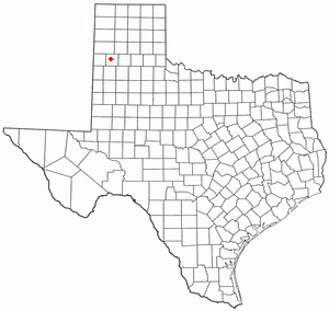
Dimmitt, Texas — City — Dimmitt City Hall Location of Dimmitt, Texas

Coordinates: 34°32′57″N 102°18′55″W / 34.54917°N 102.31528°WCoordinates: 34°32′57″N 102°18′55″W / 34.54917°N 102.31528°W Country United States State Texas County Castro Area – Total 2.1 sq mi (5.4 km2) – Land 2.1 sq mi (5.4 km2) – Water 0.0 sq mi (0.0 km2) Elevation 3,875 ft (1,181 m) Population (2000) – Total 4,375 – Density 2,116.4/sq mi (817.1/km2) Time zone Central (CST) (UTC-6) – Summer (DST) CDT (UTC-5) ZIP code 79027 Area code(s) 806 FIPS code 48-20464[1] GNIS feature ID 1356029[2] 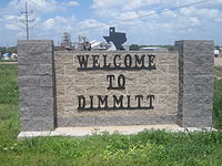 Dimmitt welcome sign
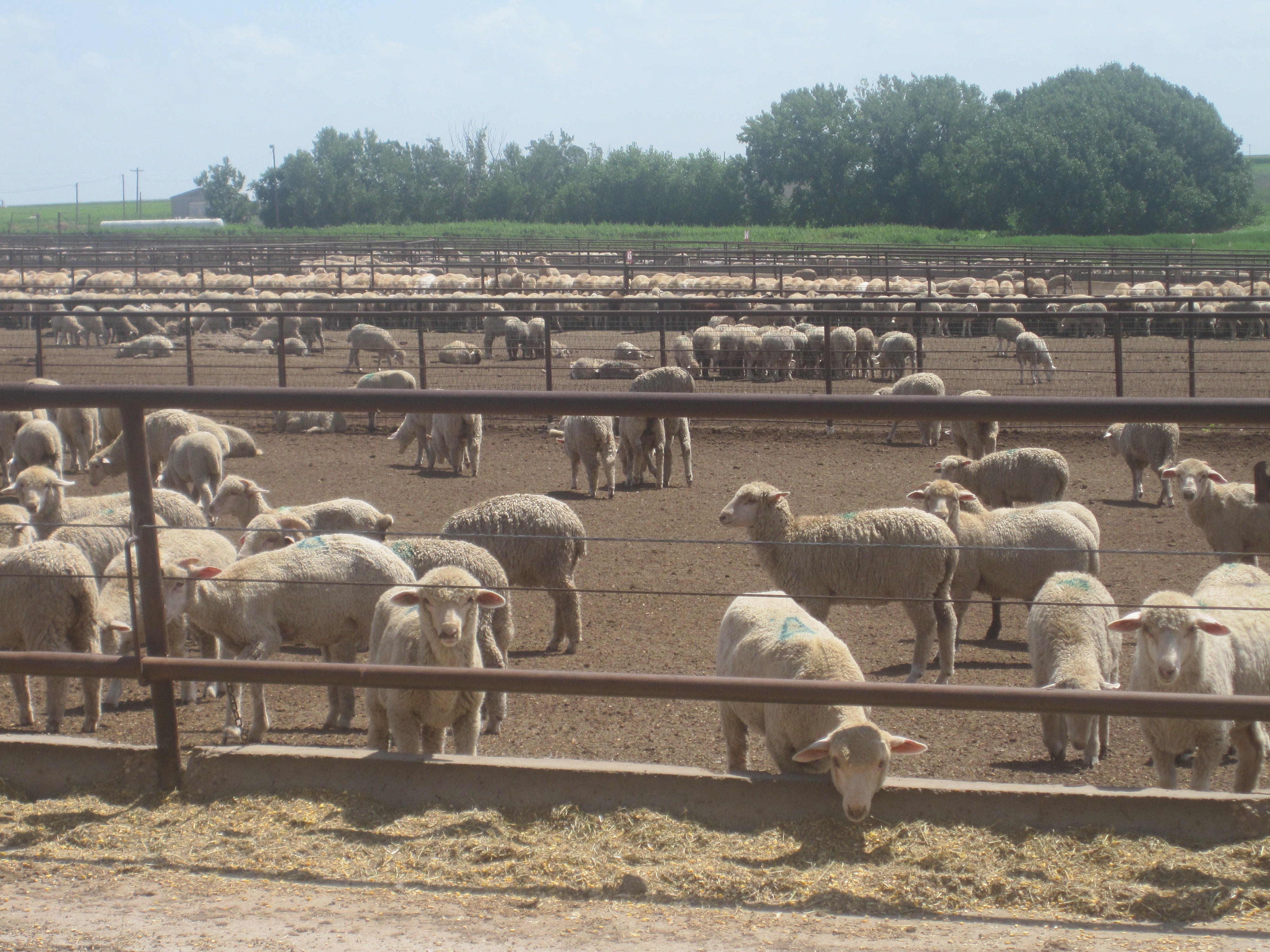
 Sheep feed lot south of Dimmitt
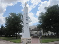 Ozark Trail in Dimmitt
 Gazebo at courthouse square in Dimmitt
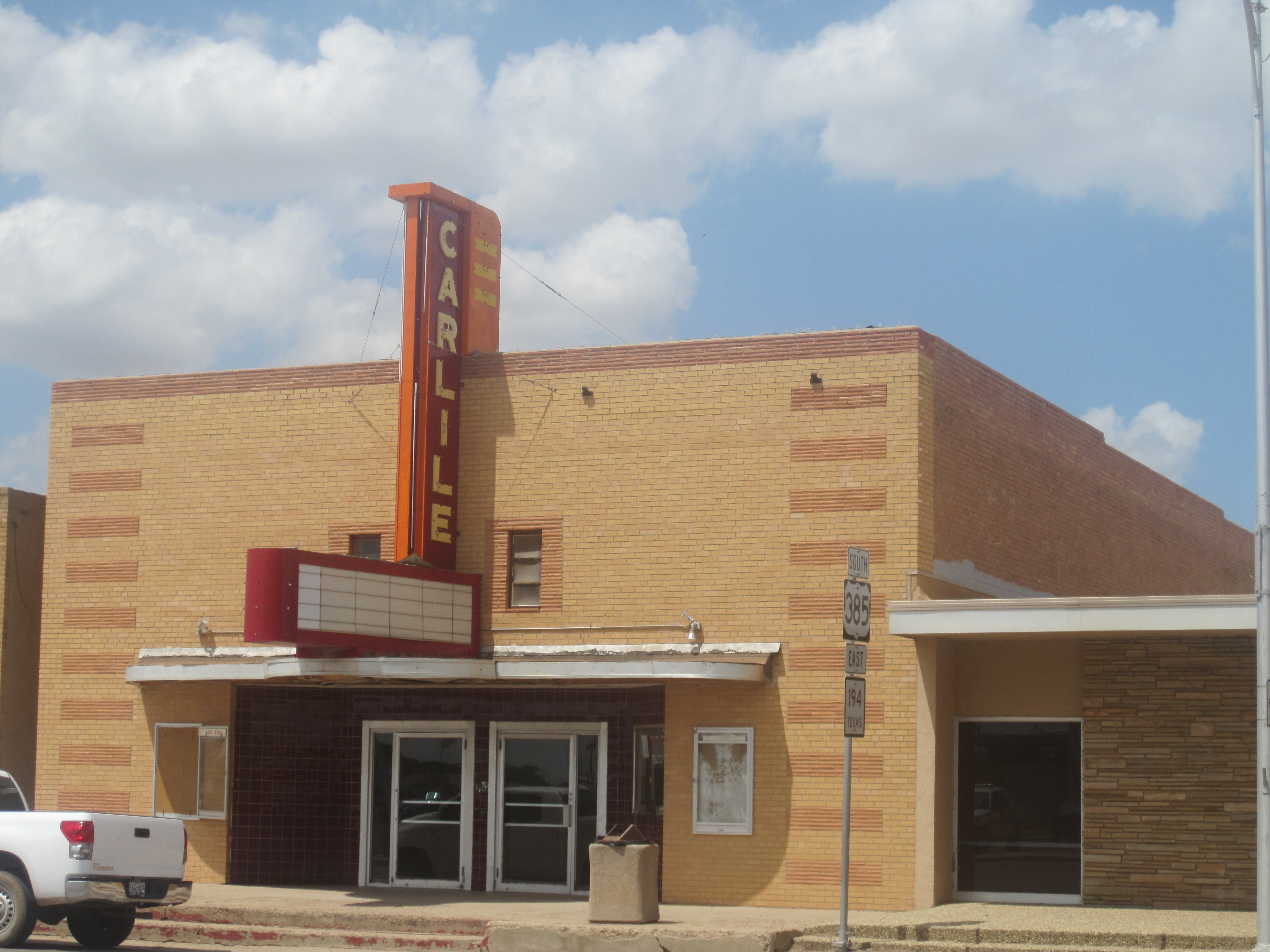
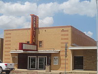 Former Carlile Theater in Dimmitt
Dimmitt is a city in Castro County, Texas, United States. The population was 4,375 at the 2000 census. It is the county seat of Castro County[3]. It is located on the old Ozark Trail, a road system from St. Louis, Missouri, to El Paso, Texas. The Ozark Trail is marked at the courthouse.
Contents
Geography
Dimmitt is located at 34°32′57″N 102°18′55″W / 34.54917°N 102.31528°W (34.549052, -102.315355)[4].
According to the United States Census Bureau, the city has a total area of 2.1 square miles (5.4 km2), all of it land. Dimmitt is south of Hereford, the seat of Deaf Smith County.
Demographics
As of the census[1] of 2000, there were 4,375 people, 1,464 households, and 1,124 families residing in the city. The population density was 2,116.4 people per square mile (816.0/km²). There were 1,692 housing units at an average density of 818.5 per square mile (315.6/km²). The racial makeup of the city was 75.02% White, 2.99% African American, 1.69% Native American, 18.10% from other races, and 2.19% from two or more races. Hispanic or Latino of any race were 56.94% of the population.
There were 1,464 households out of which 39.6% had children under the age of 18 living with them, 60.7% were married couples living together, 12.0% had a female householder with no husband present, and 23.2% were non-families. 22.1% of all households were made up of individuals and 12.4% had someone living alone who was 65 years of age or older. The average household size was 2.94 and the average family size was 3.46.
In the city the population was spread out with 33.4% under the age of 18, 9.1% from 18 to 24, 22.2% from 25 to 44, 21.3% from 45 to 64, and 13.9% who were 65 years of age or older. The median age was 32 years. For every 100 females there were 93.8 males. For every 100 females age 18 and over, there were 89.5 males.
The median income for a household in the city was $27,454, and the median income for a family was $33,885. Males had a median income of $24,575 versus $20,162 for females. The per capita income for the city was $14,228. About 19.0% of families and 23.1% of the population were below the poverty line, including 31.1% of those under age 18 and 16.4% of those age 65 or over.
Notable residents
- Junior Coffey Former NFL player.
- Kent Hance, former U.S. Representative from the Texas South Plains, former member of the Texas Railroad Commission, and the chancellor of Texas Tech University in Lubbock since 2006, was born in Dimmitt and graduated in 1961 from Dimmitt High School.
- Bluegrass musicians Smokey Mayfield (1924–2008), Thomas Edward "Edd" Mayfield (1926–1958), and Herbert E. Mayfield (1920–2008) grew up in Dimmitt. Herb Mayfield lived there through adulthood and was a former president of the Dimmitt Rodeo Association.
References
- ^ a b "American FactFinder". United States Census Bureau. http://factfinder.census.gov. Retrieved 2008-01-31.
- ^ "US Board on Geographic Names". United States Geological Survey. 2007-10-25. http://geonames.usgs.gov. Retrieved 2008-01-31.
- ^ "Find a County". National Association of Counties. http://www.naco.org/Counties/Pages/FindACounty.aspx. Retrieved 2011-06-07.
- ^ "US Gazetteer files: 2010, 2000, and 1990". United States Census Bureau. 2011-02-12. http://www.census.gov/geo/www/gazetteer/gazette.html. Retrieved 2011-04-23.
Municipalities and communities of Castro County, Texas County seat: DimmittCities 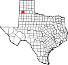
Unincorporated
communitiesCounty seats of Texas A B Baird · Ballinger · Bandera · Bastrop · Bay City · Beaumont · Beeville · Bellville · Belton · Benjamin · Big Lake · Big Spring · Boerne · Bonham · Boston · Brackettville · Brady · Breckenridge · Brenham · Brownfield · Brownsville · Brownwood · Bryan · BurnetC Caldwell · Cameron · Canadian · Canton · Canyon · Carrizo Springs · Carthage · Center · Centerville · Channing · Childress · Clarendon · Clarksville · Claude · Cleburne · Coldspring · Coleman · Colorado City · Columbus · Comanche · Conroe · Cooper · Corpus Christi · Corsicana · Cotulla · Crane · Crockett · Crosbyton · Crowell · Crystal City · CueroD E F Fairfield · Falfurrias · Farwell · Floresville · Floydada · Fort Davis · Fort Stockton · Fort Worth · Franklin · FredericksburgG Gail · Gainesville · Galveston · Garden City · Gatesville · George West · Georgetown · Giddings · Gilmer · Glen Rose · Goldthwaite · Goliad · Gonzales · Graham · Granbury · Greenville · Groesbeck · Groveton · GuthrieH Hallettsville · Hamilton · Haskell · Hebbronville · Hemphill · Hempstead · Henderson · Henrietta · Hereford · Hillsboro · Hondo · Houston · HuntsvilleJ K L M N O P Paducah · Paint Rock · Palestine · Palo Pinto · Panhandle · Paris · Pearsall · Pecos · Perryton · Pittsburg · Plains · Plainview · Port Lavaca · PostQ R Rankin · Raymondville · Refugio · Richmond · Rio Grande City · Robert Lee · Roby · Rockport · Rocksprings · Rockwall · RuskS San Angelo · San Antonio · San Augustine · San Diego · San Marcos · San Saba · Sanderson · Sarita · Seguin · Seminole · Seymour · Sherman · Sierra Blanca · Silverton · Sinton · Snyder · Sonora · Spearman · Stanton · Stephenville · Sterling City · Stinnett · Stratford · Sulphur Springs · SweetwaterT, U V, W, Z Van Horn · Vega · Vernon · Victoria · Waco · Waxahachie · Weatherford · Wellington · Wharton · Wheeler · Wichita Falls · Woodville · ZapataCategories:- Populated places in Castro County, Texas
- Cities in Texas
- County seats in Texas
- Populated places in Texas with Hispanic majority populations


Wikimedia Foundation. 2010.