- Doctor Fernando Piragine Niveyro International Airport
-
Doctor Fernando Piragine Niveyro Internacional Airport
Aeropuerto Internacional de Corrientes - Doctor Fernando Piragine NiveyroIATA: CNQ – ICAO: SARC Location of airport in Argentina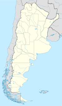
 CNQ
CNQSummary Airport type Public and Military Operator Government. Serves Corrientes, Corrientes Location Ruta N12, Km 1007, Corrientes (W3400) Elevation AMSL 203 ft / 62 m Coordinates 27°26′56.80″S 58°45′30.80″W / 27.449111°S 58.758556°W Runways Direction Length Surface m ft 02/20 2,100 6,885 Concrete Source: DAFIF. Corrientes International Airport (Spanish: Aeropuerto Internacional de Corrientes - Doctor Fernando Piragine Niveyro) (IATA: CNQ, ICAO: SARC) is an airport in Corrientes Province, Argentina serving the city of Corrientes, built in 1961 while the terminal was completed in 1964. A new terminal was constructed between 2009 and 2011, and also a new control tower. The old buildings were demolished.
It is also known as Aeropuerto de "Camba Puntá". It is usual to fly from Corrientes and return to Resistencia, because both airports are really close to each other. The same happens with Sauce Viejo Airport (SFN - in Santa Fe City) and General Justo José de Urquiza Airport (PRA - in Paraná, Entre Ríos), which are 19 km (12 mi) apart.
It has a 1,400 square metres (15,000 sq ft) passenger terminal. Alternative from Corrientes it is Resistencia International Airport, in Resistencia, Chaco, which is 16 km (10 mi) to the west.
Destinations
Airlines Destinations Aerolíneas Argentinas Buenos Aires-Aeroparque External links
Categories:- Airports in Argentina
- South American airport stubs
- Argentina geography stubs

Wikimedia Foundation. 2010.